Berthier-sur-Mer in Chaudière-Appalaches, Québec — Central Canada (French-Canadian)
La seigneurie de Berthier
⎯⎯⎯
The Seigniory of Berthier
Photographed by William Fischer, Jr., August 15, 2018
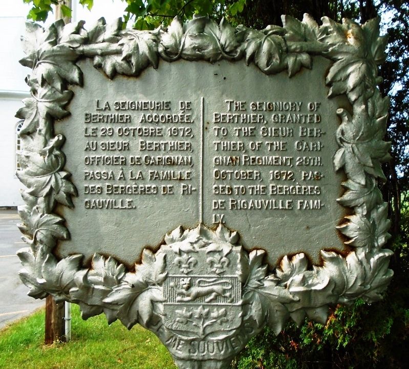
1. La seigneurie de Berthier / The Seigniory of Berthier Marker
accordée, le 29 octobre 1672,
au sieur Berthier, officier de Carignan,
passa à la famille des Bergères de Rigauville.
—————————————————
The seigniory of Berthier,
granted to the Sieur Berthier,
of the Garignan Regiment, 29th. October, 1672,
passed to the Bergères de Rigauville family.
Erected by Government of Quebec.
Topics. This historical marker is listed in these topic lists: Colonial Era • Settlements & Settlers. A significant historical date for this entry is October 29, 1672.
Location. 46° 55.648′ N, 70° 43.829′ W. Marker is in Berthier-sur-Mer, Québec, in Chaudière-Appalaches. It is at the intersection of rue Principale Est and rue Guillemette, on the right when traveling west on rue Principale Est. Touch for map. Marker is at or near this postal address: 29 rue Principale Est, Berthier-sur-Mer QC G0R 1E0, Canada. Touch for directions.

Regionally, this marker is in the Québec City Region. It is also in Central Canada. Globally, it is in North America, the Western Hemisphere, and the Western World. Historically, it finds itself in what was once a British colony, the
this page online
Other nearby markers. At least 8 other markers are within walking distance of this marker: Des pionniers et navigateurs de Berthier-sur-Mer (within shouting distance of this marker); Des armoiries Berthier-sur-Mer Coat of Arms (within shouting distance of this marker); Hameau Dunière-Dénéchaud (approx. 0.9 kilometers away); Grosse-Île-et-le-Mémorial-des-Irlandais (approx. 0.9 kilometers away); La salinite de l'eau / The Water Salinity (approx. 0.9 kilometers away); Les naufrages dans le secteur / Shipwrecks in the Sector (approx. 0.9 kilometers away); Le quai et la Villégiature / The Quay and Village Life (approx. 0.9 kilometers away); Le phare de l'îlet Bellechasse / The l'Îlet Bellechasee Lighthouse (approx. 0.9 kilometers away). Touch for a list and map of all markers in Berthier-sur-Mer.
Also see . . . Alexandre Berthier, seigneur de Berthier et de Villemeure. (Submitted on September 22, 2018, by William Fischer, Jr. of Reynoldsburg, Ohio.)
Photographed by William Fischer, Jr., August 15, 2018
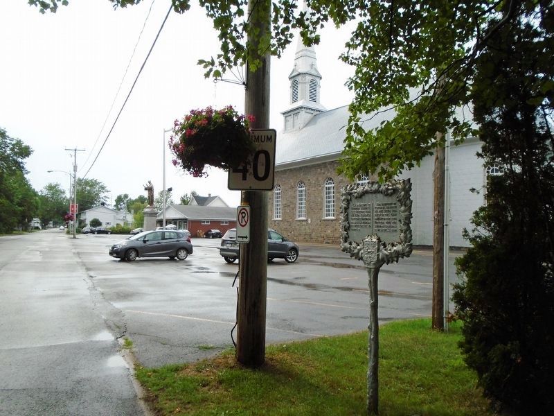
2. La seigneurie de Berthier / The Seigniory of Berthier Marker
Credits. This page was last revised on January 23, 2022. It was originally submitted on September 22, 2018, by William Fischer, Jr. of Reynoldsburg, Ohio. This page has been viewed 397 times since then and 25 times this year. Photos: 1, 2. submitted on September 22, 2018, by William Fischer, Jr. of Reynoldsburg, Ohio.
