Tendoy in Lemhi County, Idaho — The American West (Mountains)
First Irrigation Project
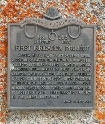
Photographed by Barry Swackhamer, May 11, 2018
1. First Irrigation Project Marker
Erected 1962 by Daughters of Utah Pioneers, Lemhi County Chapter. (Marker Number 285.)
Topics and series. This historical marker is listed in this topic list: Agriculture. In addition, it is included in the Daughters of Utah Pioneers series list. A significant historical date for this entry is June 18, 1855.
Location. 44° 58.985′ N, 113° 38.441′ W. Marker is in Tendoy, Idaho, in Lemhi County. It is at the intersection of Back Road (State Road 28) and Mule Shoe Road, on the left when traveling north on Back Road. Touch for map. Marker is in this post office area: Tendoy ID 83468, United States of America. Touch for directions.

Regionally, this marker is in Central Idaho — Sawtooth
this page online
Other nearby markers. At least 8 other markers are within 2 miles of this marker, measured as the crow flies: Salmon River Mission (a few steps from this marker); a different marker also named The Salmon River Mission (within shouting distance of this marker); Fort Lemhi (approx. half a mile away); Sacajawea Comes Home (approx. 1½ miles away); The Withington Caldera (approx. 1½ miles away); William Clark's Scouting Mission (approx. 1½ miles away); Lewis Learns from the Lemhi Shoshone (approx. 1½ miles away); Meriwether Lewis Makes Contact (approx. 1½ miles away). Touch for a list and map of all markers in Tendoy.
More about this marker. It may look like private property, but the entrance to the ranch is a continuation of Mule Shoe Road (according to Google Maps.
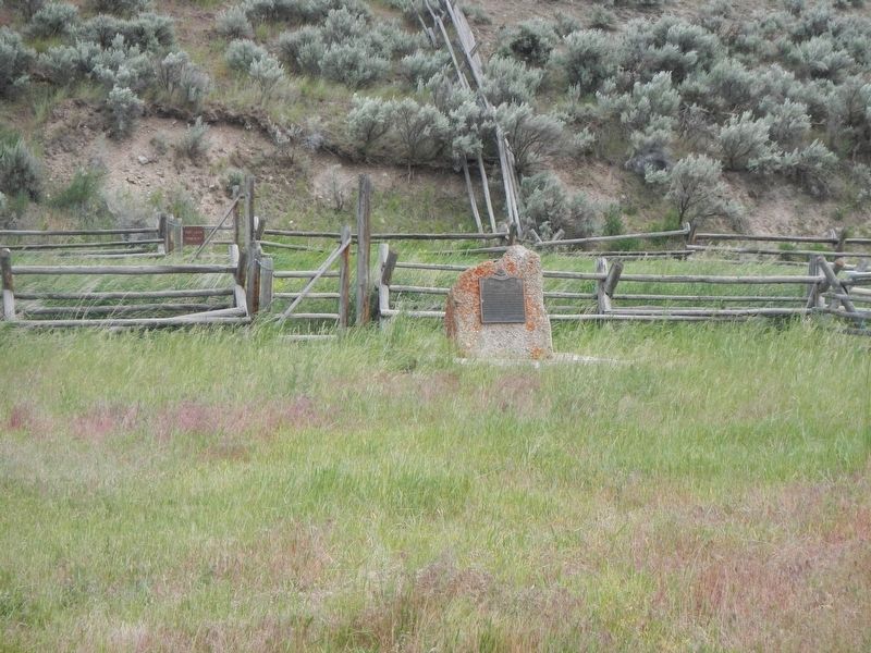
Photographed by Barry Swackhamer, May 11, 2018
2. First Irrigation Project Marker
Credits. This page was last revised on September 23, 2018. It was originally submitted on September 23, 2018, by Barry Swackhamer of Brentwood, California. This page has been viewed 400 times since then and 26 times this year. Photos: 1, 2. submitted on September 23, 2018, by Barry Swackhamer of Brentwood, California.
