Near Wisdom in Beaverhead County, Montana — The American West (Mountains)
Battlefield Landscape
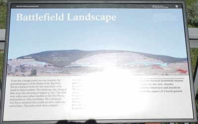
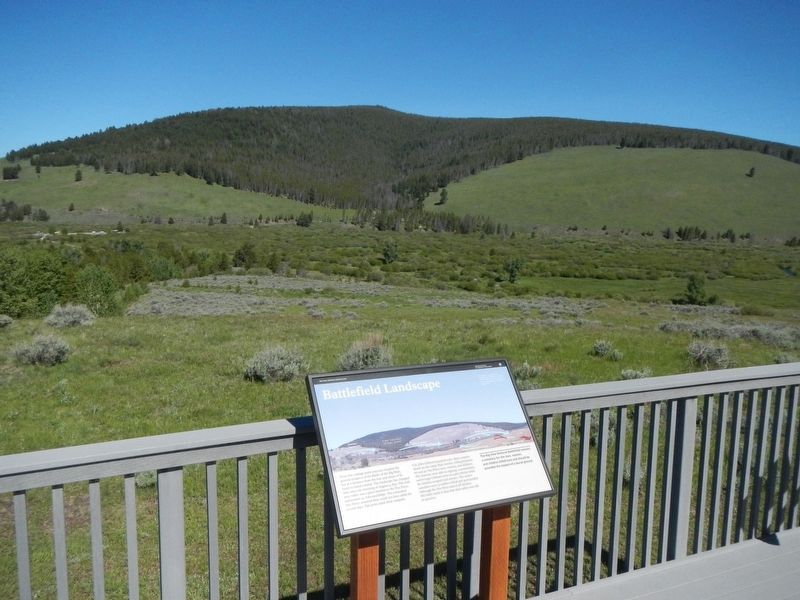
From this vantage point you can visualize the general progress of the Battle of the Big Hole, but at a distance from the fear and chaos of its hand-to-hand combat. The landscape has changed little since the morning of August 9, 1877. This lush river valley was a place familiar to the Nez Perce, and known as 'icku-mcelélikpe. The exhausted Nez Perce assumed they could rest here safely for several days. Tipi poles mark their campsite.
Col. John Gibbon launched a pre-dawn surprise attack on the camp (blue arrows), killing between 60 an 90 Nez Perce men, women and children. The warriors were able to regroup, counter attack, and besiege Gibbon's men in a pine thicket while the families escaped (red arrows). The army's casualties were 31 soldiers killed and 39 wounded. Although the Nez Perce staved off disaster, this battle made it clear the their safety was still in question.
The Big Hole National Battlefield remains a cemetery for the men, women, and children killed and should be accorded the respect of a burial ground.
Erected by National Park Service, U.S. Department of the Interior.
Topics and series. This historical marker is listed in these topic lists: Native Americans • Wars, US Indian . In addition, it is included in the The Nez Perce Trail series list. A significant historical date for this entry is August 9, 1877.
Location. 45° 38.478′ N, 113° 38.616′ W. Marker is near Wisdom, Montana, in Beaverhead County. Marker can be reached from Park Entrance Road near State Highway 43, on the left when traveling east. Touch for map. Marker is at or near this postal address: 16425 Montana Highway 43, Wisdom MT 59761, United States of America. Touch for directions.
Other nearby markers. At least 7 other markers are within 16 miles of this marker, measured as the crow flies. Big Hole National Battlefield Monument (approx. 0.6 miles away); Brave Warriors (approx. 0.6 miles away); Siege Site (approx. 0.6 miles away); A Perfect Place to Rest (approx. 0.6 miles away); A Story of Fires... to be continued (approx. 6.7 miles away); Natural Travel Corridor (approx. 8.3 miles away); Big Hole Valley (approx. 15½ miles away).
More about this marker. This marker is on the Visitors Center balcony overlooking the Big Hole Battlefield.
Credits. This page was last revised on January 31, 2022. It was originally submitted on September 24, 2018, by Barry Swackhamer of Brentwood, California. This page has been viewed 279 times since then and 36 times this year. Photos: 1, 2. submitted on September 24, 2018, by Barry Swackhamer of Brentwood, California.

