Near Marion in Crittenden County, Kentucky — The American South (East South Central)
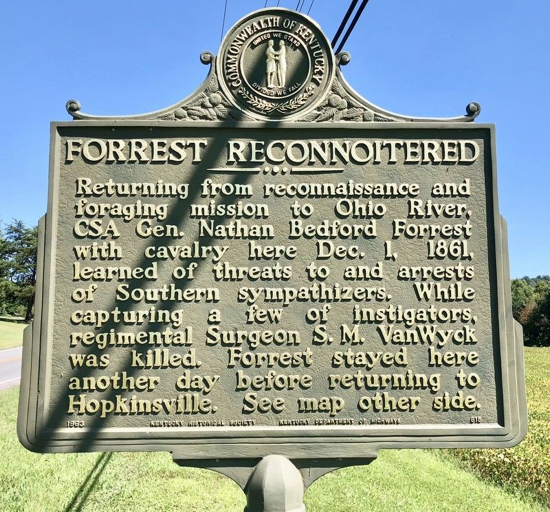
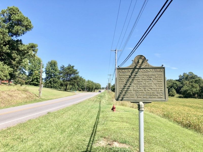
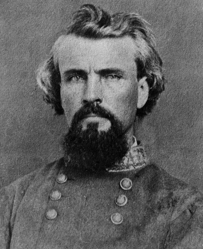
Forrest Reconnoitered
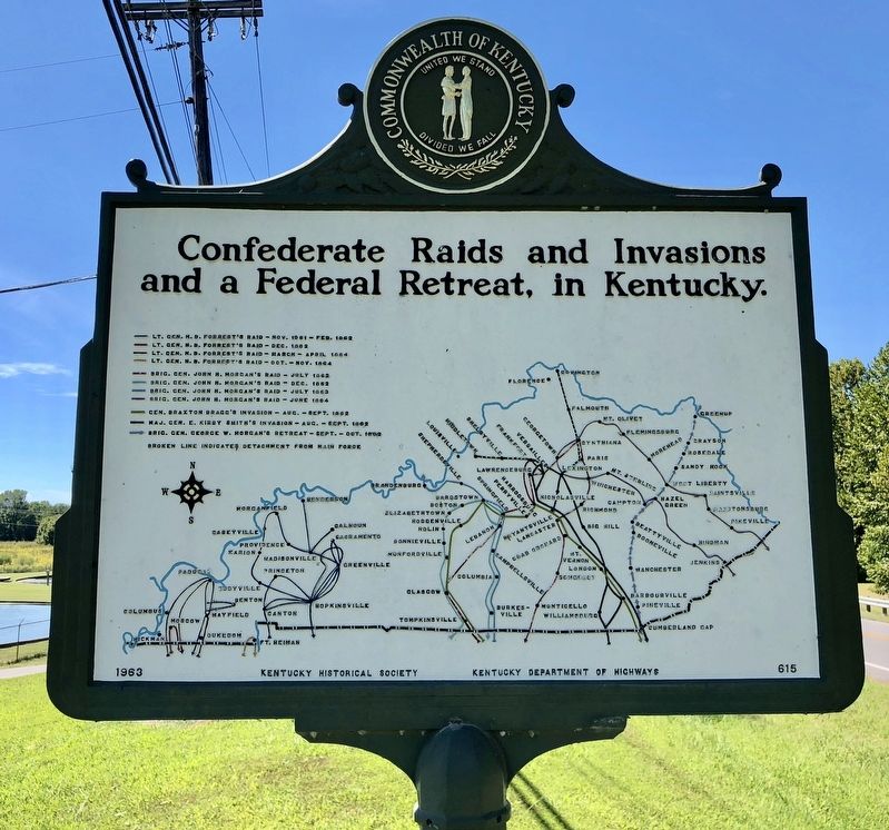
Reverse side map of: Confederate Raids and Invasions and a Federal Retreat, in Kentucky.
Erected 1963 by the Kentucky Historical Society Kentucky Department of Highways. (. (Marker Number 615.)
Topics and series. This historical marker is listed in these topic lists: War, US Civil • Waterways & Vessels. In addition, it is included in the Kentucky Historical Society series list. A significant historical date for this entry is December 1, 1861.
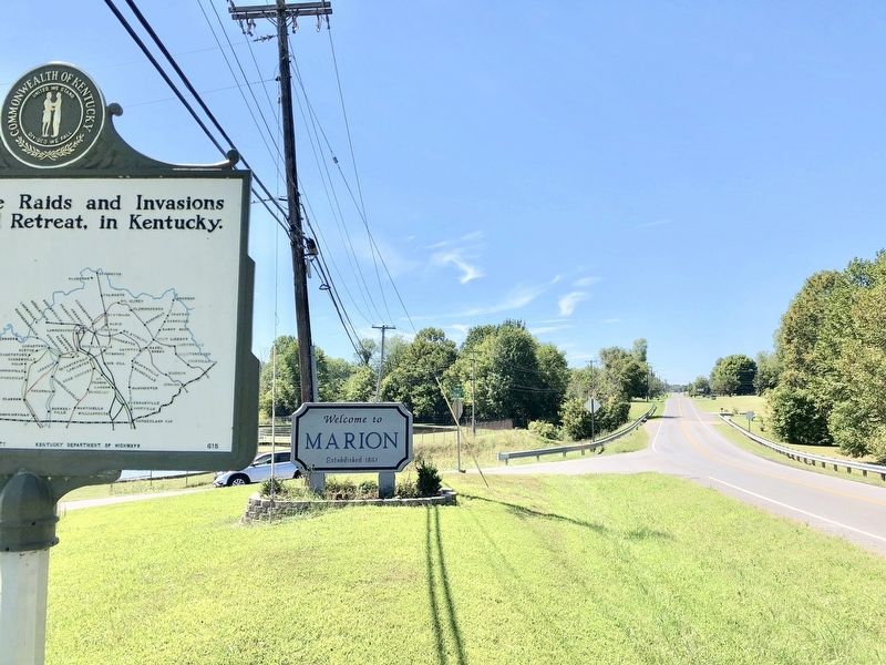
Location. 37° 20.721′ N, 88° 3.928′ W. Marker is near Marion, Kentucky, in Crittenden County. Marker is at the intersection of Sturgis Road (U.S. 60) and Adams Street on Sturgis Road. Touch for map. Marker is at or near this postal address: Sturgis Road, Marion KY 42064, United States of America. Touch for directions.
Other nearby markers. At least 8 other markers are within 4 miles of this marker, measured as the crow flies. F. Julius Fohs (1884-1965) / Fohs Hall (approx. 1.1 miles away); County Named, 1842 (approx. 1.2 miles away); Courthouse Burned (approx. 1.3 miles away); Crittenden County Courthouse, Marion (approx. 1.3 miles away); In Honor of Crittenden Countian Dr. Forrest Carlisle Pogue, Jr. (approx. 1.3 miles away); Senator W. J. Deboe / Senators from Marion (approx. 1.3 miles away); Family of Judges (approx. 1.3 miles away); Chapel Hill Presbyterian Church / Pioneer Church (approx. 4 miles away). Touch for a list and map of all markers in Marion.
Credits. This page was last revised on September 24, 2018. It was originally submitted on September 24, 2018, by Mark Hilton of Montgomery, Alabama. This page has been viewed 218 times since then and 19 times this year. Photos: 1, 2, 3, 4, 5. submitted on September 24, 2018, by Mark Hilton of Montgomery, Alabama.
