Near American Falls in Power County, Idaho — The American West (Mountains)
Emigrant Trails
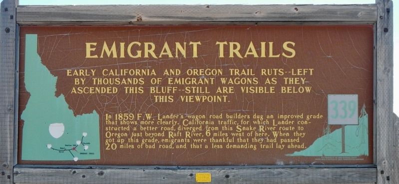
Photographed by Barry Swackhamer, May 14, 2018
1. Emigrant Trails Marker
In 1859 F.W. Lander's wagon road builders dug and improved grade that shows more clearly. California traffic, for which Lander constructed a better road, diverged from this Snake River route to Oregon just beyond Raft River, 6 miles west of here. When they got up this grade, emigrants were thankful that they had passed 20 miles of bad road, and that a less demanding trail lay ahead.
Erected by Idaho Department of Transportation. (Marker Number 339.)
Topics and series. This historical marker is listed in these topic lists: Roads & Vehicles • Settlements & Settlers. In addition, it is included in the California Trail, and the Idaho State Historical Society series lists.
Location. Marker has been reported missing. It was located near 42° 36.87′ N, 113° 8.574′ W. Marker was near American Falls, Idaho, in Power County. It could be reached from Interstate 86 at milepost 18 near Cold Water Road, on the right when traveling
this page online

Regionally, this marker was in Idaho’s Bear River Country. It was also in the American Mountain West. Globally, it was in North America, the Western Hemisphere, the Western World, and the Anglosphere.
Other nearby markers. At least 8 other markers are within 11 miles of this location, measured as the crow flies: Coldwater Hill Rest Area Oregon Trail Kiosk (within shouting distance of this marker); California Trail - Parting of the Ways (approx. 4.7 miles away); Parting of the Ways (approx. 4.7 miles away); Register Rock (approx. 6.9 miles away); Massacre Rocks on Old Oregon Trail (approx. 8.9 miles away); Massacre Rocks - A Clashing of Cultures (approx. 8.9 miles away); California Trail - Raft River Recrossing (approx. 9.4 miles away); Snake River Rest Area Oregon Trail Kiosk (approx. 10.8 miles away). Touch for a list and map of all markers in American Falls.
More about this marker. The marker is located in the Coldwater Hill Rest Area off of Interstate 86 Eastbound.
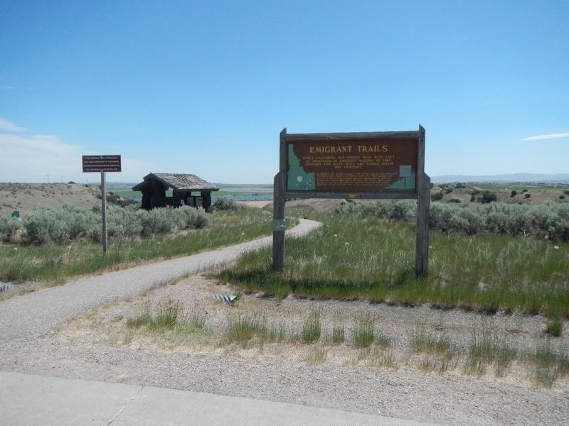
Photographed by Barry Swackhamer, May 14, 2018
2. Emigrant Trails Marker

Photographed by Roger Scot Johns, July 14, 2025
3. Signboard Missing
Credits. This page was last revised on July 17, 2025. It was originally submitted on September 26, 2018, by Barry Swackhamer of Brentwood, California. This page has been viewed 793 times since then and 113 times this year. Photos: 1, 2. submitted on September 26, 2018, by Barry Swackhamer of Brentwood, California. 3. submitted on July 15, 2025, by Roger Scot Johns of Eagle, Idaho.
