
Princeton in Caldwell County, Kentucky — The American South (East South Central)
Princeton First Baptist Church
Photographed by Mark Hilton, September 13, 2018
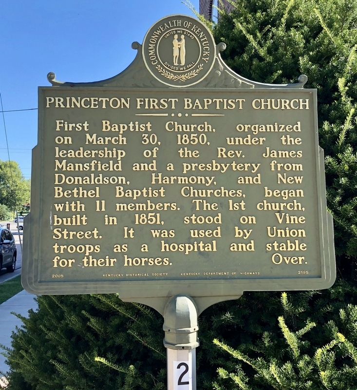
1. Princeton First Baptist Church Marker
{Reverse}
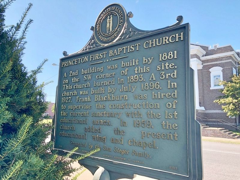
A 2nd building was built in 1881 on the SW corner of this site. This church burned in 1893. A 3rd church was built by July 1896. In 1927, Frank Blackburn was hired to supervise the construction of the current sanctuary with the 1st educational annex. In 1959, the church added the present educational wing and chapel.
Erected 2005 by the Kentucky Historical Society, Kentucky Department of Highways. (Marker Number 2195.)
Topics and series. This historical marker is listed in these topic lists: Religion & Religious Structures • War, US Civil. In addition, it is included in the Kentucky Historical Society series list. A significant historical date for this entry is March 30, 1850.
Location. 37° 6.602′ N, 87° 53.095′ W. Marker is in Princeton, Kentucky, in Caldwell County. It is at the intersection of
this page online

Regionally, this marker is in the American Midwest, in the South, and specifically in the Upper South. Globally, it is in North America, the Western Hemisphere, the Western World, and the Anglosphere. Historically, it finds itself in what was once the territory of the Mississippian Culture and also the Antebellum South.
Other nearby markers. At least 8 other markers are within walking distance of this marker: Ogden Memorial United Methodist Church (within shouting distance of this marker); Historic Educational Site (about 600 feet away, measured in a direct line); Black Patch War (approx. 0.2 miles away); Courthouse Burned (approx. 0.2 miles away); County Named, 1809 (approx. 0.2 miles away); Trail of Tears (approx. ¼ mile away); Shandy Hall (Princeton) (approx. ¼ mile away); William Prince, 1752-1810 / Founder of Princeton (approx. ¼ mile away). Touch for a list and map of
Photographed by Mark Hilton, September 13, 2018
2. Princeton First Baptist Church Marker (reverse)
Another marker is no longer nearby. Converging of Indian Trails (was approx. ¼ mile away but has been confirmed missing).
Photographed by Mark Hilton, September 13, 2018
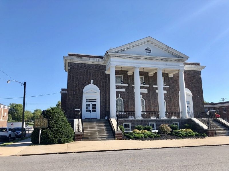
3. Princeton First Baptist Church
Credits. This page was last revised on September 26, 2018. It was originally submitted on September 26, 2018, by Mark Hilton of Montgomery, Alabama. This page has been viewed 485 times since then and 33 times this year. Photos: 1, 2, 3. submitted on September 26, 2018, by Mark Hilton of Montgomery, Alabama.
