Blunt in Hughes County, South Dakota — The American Midwest (Upper Plains)
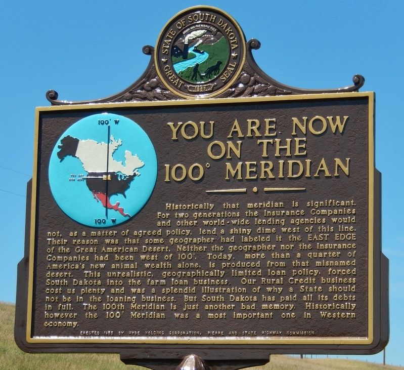
You are now on the 100° Meridian
Photographed by Cosmos Mariner, July 14, 2018
1. You are now on the 100° Meridian Marker
Historically that meridian is significant. For two generations the Insurance Companies and other world-wide lending agencies would not, as a matter of agreed policy, lend a shiny dime west of this line. There reason was that some geographer had labeled it the EAST EDGE of the Great American Desert. Neither the geographer nor the Insurance Companies had been west of 100°. Today, more than a quarter of America's new animal wealth alone, is produced from that misnamed desert. This unrealistic, geographically limited loan policy, forced South Dakota into the farm loan business. Our Rural Credit Business cost us plenty and was a splendid illustration of why a State should not be in the loaning business. But South Dakota has paid all its debts in full. The 100th Meridian is just another bad memory. Historically however, the 100° Meridian was a most important one in Western economy.
Erected 1955 by Hyde Holding Company, Pierre, and the South Dakota State Highway Commission. (Marker Number 128.)
Topics and series. This historical marker is listed in these topic lists: Agriculture • Industry & Commerce. In addition,
this page online
Location. 44° 30.731′ N, 100° 0.024′ W. Marker is in Blunt, South Dakota, in Hughes County. It is on 198th Street (U.S. 14) 0.1 miles west of Runge Road, on the right when traveling east. Marker is located on the south side of the highway, one mile west of Blunt, South Dakota. Touch for map. Marker is in this post office area: Blunt SD 57522, United States of America. Touch for directions.

Regionally, this marker is in East River. It is also in the American Lewis & Clark Corridor, on the prairies, and on the Northern Plains. Globally, it is in North America, the Western Hemisphere, the Western World, and the Anglosphere. Historically, it finds itself in what was once Rupert’s Land and also the Louisiana Purchase.
Other nearby markers. At least 8 other markers are within 14 miles of this marker, measured as the crow flies: Mentor Graham (approx. half a mile away); Land of the Free Home of the Brave (approx. 0.7 miles away); "Lest We Forget" (approx. 0.8 miles away); Medicine Knoll (approx. 2.2 miles
Photographed by Cosmos Mariner, July 14, 2018
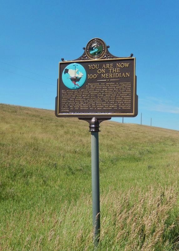
2. You are now on the 100° Meridian Marker (tall view)
More about this marker. Both sides of marker are identical.
Related markers. Click here for a list of markers that are related to this marker. The 100° Meridian
Also see . . . 100th meridian: East-west divide between moist and arid parts of U.S. may be shifting. Science Daily website entry:
Nearly a century and a half after explorer John Wesley Powell zeroed in on the 100th meridian west as the dividing line between the humid east and arid west of the United States, researchers say he was right -- but that climate change is now moving the line eastward, into the traditionally fertile Midwest. The effects on U.S. farming and other pursuits could be huge. Now, 140 years later, scientists are looking again at the 100th meridian. In two just-published papers, they examine how it has played out in history so far, and what
Photographed by Cosmos Mariner, July 14, 2018
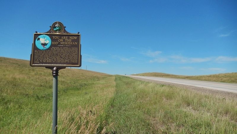
3. You are now on the 100° Meridian Marker (wide view looking west; US Highway 14 in background)
Credits. This page was last revised on January 2, 2022. It was originally submitted on September 26, 2018, by Cosmos Mariner of Cape Canaveral, Florida. This page has been viewed 1,691 times since then and 145 times this year. Photos: 1. submitted on September 26, 2018, by Cosmos Mariner of Cape Canaveral, Florida. 2, 3. submitted on September 27, 2018, by Cosmos Mariner of Cape Canaveral, Florida. • Bill Pfingsten was the editor who published this page.
