Near Elba in Cassia County, Idaho — The American West (Mountains)
California Trail
An Epic Migration that Opened the West
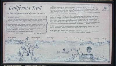
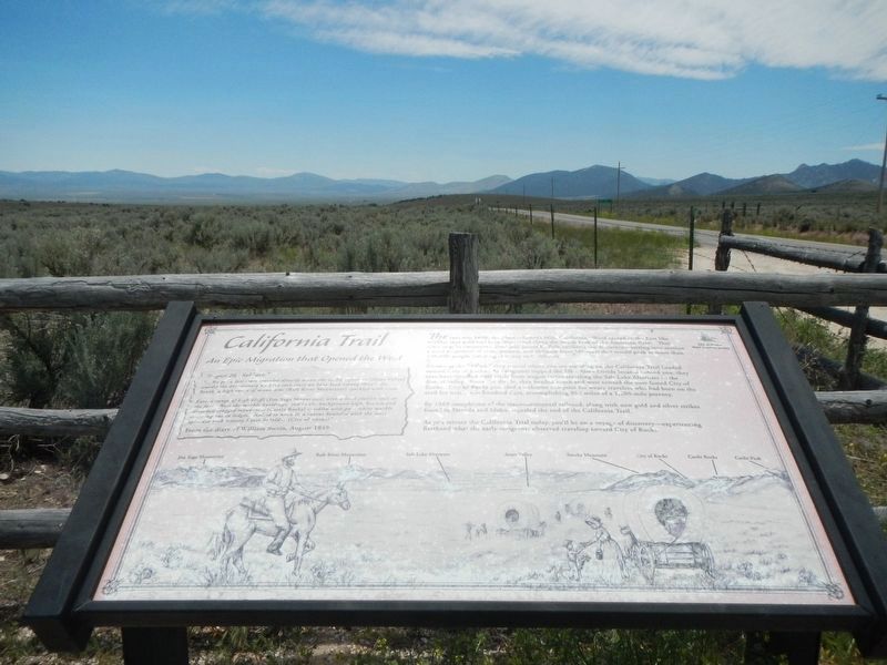
"... We got a late start traveled directly across the valley before us, (Almo Valley) amidst the best scenery we have seen since we have been among these hills. South, a high range of mountains (Raft River Mountains) speckled with snow.
East, a range of high bluffs (Jim Sage Mountains) with a level pla(i)n (sic) at the foot. West the marble buildings; and in the background high, broken and detached cragged mountains (Castle Rocks) speckled with pure white marble cropping out in ledges. Halted to noon in a ravine bounded with the most splendid rock scenery I ever beheld... (City of Rocks)" -- From the diary of William Swain, August 1849
The year was 1848, the place -- Sutter's Mill, California. Word spread to the East like wildfire that gold had bee discovered along the South Fork of the American River. That same year in December, President James K. Polk confirms the discovery -- setting into motion a mass migration of men, women, and children from Missouri that would peak at more than 250,000 people traveling this way to California.
Known as the "49'ers," they passed where you are standing on the California Trail headed toward City of Rocks. As emigrants topped the Elba-Almo Divide located behind you, they may have watched dust trails from wagon trains traveling the Salt Lake Alternate in the distant valley. From the divide, they headed south and west toward the now famous City of Rocks. City of Rocks provided a welcome campsite for weary travelers who had been on the trail for nearly one hundred days, accomplishing 800 miles of a 1,200-mile journey.
By 1869 completion of the transcontinental railroad, along with new gold and silver strikes found in Nevada and Idaho, signaled the end of the California Trail.
As you retrace the California Trail today, you'll be on a voyage of discovery - experiencing first hand what the early emigrants observed traveling toward the City of Rocks.
Erected by City of Rocks Back Country Byway.
Topics and series. This historical marker is listed in these topic lists: Roads & Vehicles • Settlements & Settlers. In addition, it is included in the California Trail series list.
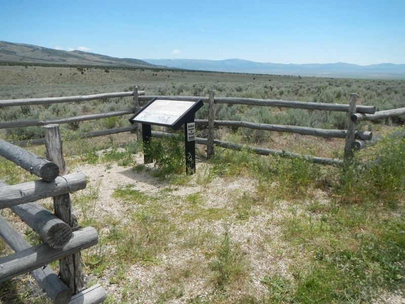
Location. 42° 9.906′ N, 113° 34.164′ W. Marker is near Elba, Idaho, in Cassia County. Marker is on Elba-Almo Highway (at milepost 7) near Forest Road 708, on the left when traveling south. Touch for map. Marker is in this post office area: Malta ID 83342, United States of America. Touch for directions.
Other nearby markers. At least 8 other markers are within 9 miles of this marker, measured as the crow flies. California Trail - Summit Creek (a few steps from this marker); California Trail - Leaving Cassia Creek
(approx. 5.8 miles away); Horrible Indian Massacre (approx. 5.8 miles away); Camped... (approx. 6 miles away); Replica Wagon (approx. 6 miles away); California Trail - Nearing City of Rocks (approx. 6.4 miles away); Distant Views (approx. 8.9 miles away); Fading Away (approx. 8.9 miles away). Touch for a list and map of all markers in Elba.
Credits. This page was last revised on September 27, 2018. It was originally submitted on September 27, 2018, by Barry Swackhamer of Brentwood, California. This page has been viewed 178 times since then and 13 times this year. Photos: 1, 2, 3. submitted on September 27, 2018, by Barry Swackhamer of Brentwood, California.


