Near Calhoun in McLean County, Kentucky — The American South (East South Central)
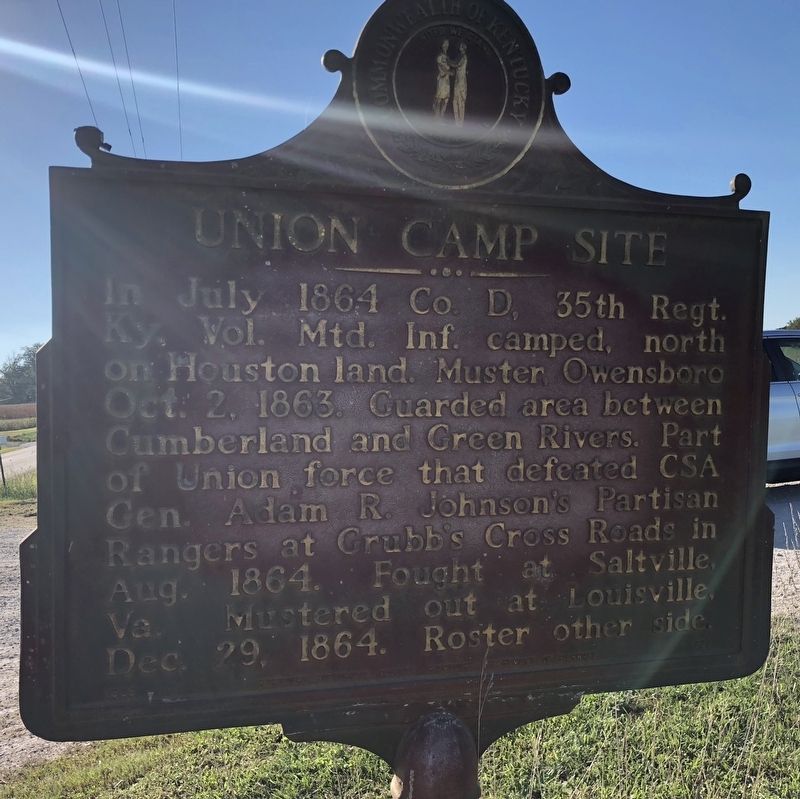
Union Camp Site
⎯⎯⎯
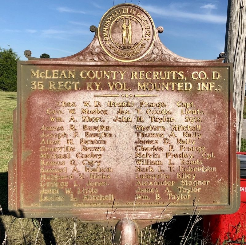
McLean County Recruits, Co. D 35 Regt. KY. Vol. Mounted Inf.
Photographed by Mark Hilton, September 13, 2018
1. Union Camp Site Marker
In July 1864 Co. D, 35th Regt. Ky. Vol. Mtd. Inf. camped, north on Houston land. Muster, Owensboro Oct. 2, 1863. Guarded area between Cumberland and Green Rivers. Part of Union force that defeated CSA Gen. Adam R. Johnson's Partisan Rangers at Grubb's Cross Roads in Aug. 1864. Fought at Saltville, Va. Mustered out at Louisville, Dec. 29, 1864. Roster other side.
35 Regt. KY. Vol. Mounted Inf.:
Chas. W. D. (Frank) Prange, Capt.
Geo. W. Mosley, Jas. T. Goode, Lieuts.
Wm. A. Short, John H. Taylor, Sgts.
James R. Baughn • Western Mitchell
Joseph F. Baughn • Thomas A. Nally
Allen H. Benton • James D. Nally
Granville Brown • Charles F. Prange
Michael Conley • Malvin Presley, Cpl.
Remos G. Cary • William L. Roads
Samuel A. Hudson • Mark L. T. Robertson
Hubbard V. Hicks • Lafayette Riley
George L. Jones • Alexander Stogner
John W. Little • James A. Taylor
Lucius L. Mitchell • William B. Taylor
Erected 1965 by the Kentucky Historical Society, Kentucky Department of Highways. (Marker Number 830.)
Topics and series. This historical marker
this page online
Location. 37° 32.748′ N, 87° 9.073′ W. Marker is near Calhoun, Kentucky, in McLean County. It is on Kentucky Route 250 0.4 miles west of Reeves School Road, on the right when traveling west. Touch for map. Marker is in this post office area: Calhoun KY 42327, United States of America. Touch for directions.

Regionally, this marker is in the Tri-State Region and in the Western Coal Field. It is also in the American Midwest, in the South, in the Upper South, and in the Ohio River Valley. Globally, it is in North America, the Western Hemisphere, the Western World, and the Anglosphere. Historically, it finds itself in what was once the territory of the Mississippian Culture and also the Antebellum South.
Other nearby markers. At least 8 other markers are within 6 miles of this marker, measured as the crow flies: Livermore Bridge (approx. 4.6 miles away); County Named / Calhoun (approx. 5.9 miles away); Charles Hansford / Charles Hansford (1759-1850) (approx.
Photographed by Mark Hilton, September 13, 2018
2. McLean County Recruits, Co. D 35 Regt. KY. Vol. Mounted Inf. Marker
Another marker is no longer nearby. Forrest Reconnoitered (was approx. 6 miles away but has been confirmed missing).
Regarding Union Camp Site / McLean County Recruits, Co. D 35 Regt. KY. Vol. Mounted Inf.. The regiment lost a total of 57 men during service; 8 enlisted men killed or mortally wounded, 49 enlisted men died of disease.
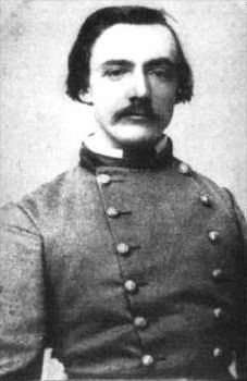
On August 21, 1864, Col. Adam Johnson was blinded by an accidental shot from one of his own men during the skirmish at Grubb's Crossroads. Left behind because of his injuries, he was captured by the Union and was a prisoner for much of the remainder of the war in Fort Warren. He was exchanged near the war's end.
Photographed by Mark Hilton, September 13, 2018
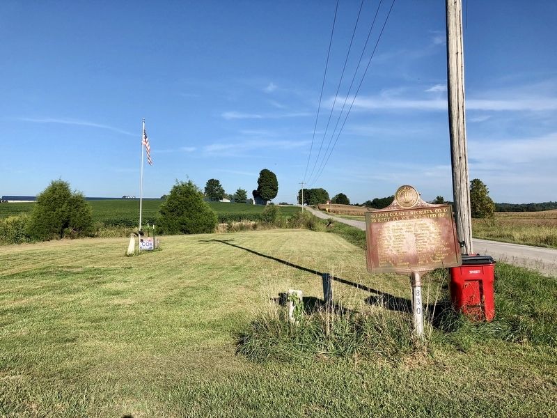
3. View from marker looking east towards U.S. Highway 431.
Public domain
4. Colonel Adam Rankin Johnson, Confederate States Army
Credits. This page was last revised on September 27, 2018. It was originally submitted on September 27, 2018, by Mark Hilton of Montgomery, Alabama. This page has been viewed 680 times since then and 62 times this year. Photos: 1, 2, 3, 4. submitted on September 27, 2018, by Mark Hilton of Montgomery, Alabama.
Editor’s want-list for this marker. Clearer photo of the Union Camp Site side of marker. • Can you help?
