Edgemont in Fall River County, South Dakota — The American Midwest (Upper Plains)
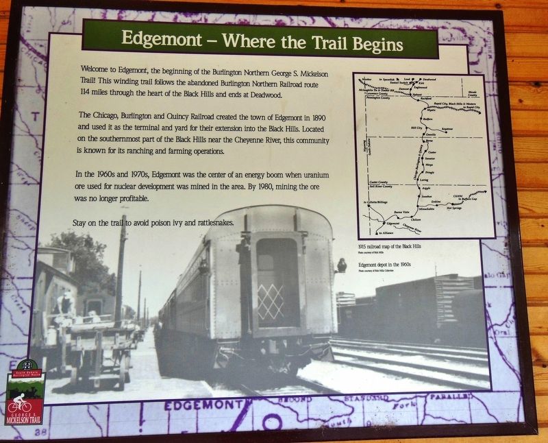
Edgemont: Where the Trail Begins
Photographed by Cosmos Mariner, July 10, 2012
1. Edgemont: Where the Trail Begins Marker
The Chicago, Burlington and Quincy Railroad created the town of Edgemont in 1890 and used it as the terminal and yard for their extension into the Black Hills. Located on the southernmost part of the Black Hills near the Cheyenne River, this community is known for its ranching and farming operations.
In the 1960s and 1970s, Edgemont was the center of an energy boom when uranium ore used for nuclear development was mined in the area. By 1980, mining the ore was no longer profitable.
Stay on the trail to avoid poison ivy and rattlesnakes.
Topics. This historical marker is listed in these topic lists: Industry & Commerce • Parks & Recreational Areas • Railroads & Streetcars. A significant historical year for this entry is 1890.
Location. 43° 17.897′ N, 103° 49.477′ W. Marker is in Edgemont, South Dakota, in Fall River County. It is on 2nd Avenue (State Highway 471) north of G Street,
this page online

Regionally, this marker is in West River. It is also in the American Black Hills, in the Lewis & Clark Corridor, on the prairies, and on the Northern Plains. Globally, it is in North America, the Western Hemisphere, the Western World, and the Anglosphere. Historically, it finds itself in what was once Rupert’s Land and also the Louisiana Purchase.
Other nearby markers. At least 8 other markers are within 4 miles of this marker, measured as the crow flies: Teddy Roosevelts's Visit to Edgemont (a few steps from this marker); Edgemont Covered Bridge (within shouting distance of this marker); Petrified Tree (within shouting distance of this marker); 155mm GPF Cannons (within shouting distance of this marker); George S. Mickelson Trail (within shouting distance of this marker); Siding 7 (approx. 0.8 miles away); Cheyenne River Crossing (approx. 0.8 miles away); Camp Collier
Courtesy of Rick Mills Collection
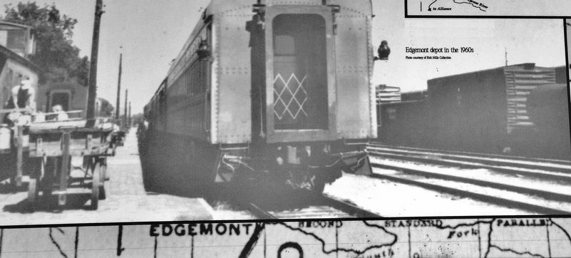
2. Marker detail: Edgemont Depot in the 1960s
More about this marker. This is a large "poster-style" marker, mounted at eye-level in the Mickelson Trailhead kiosk.
Also see . . . Black Hills Railroad History. The standard-gauge Burlington branch was built in several portions between Hill City and Keystone during the central Black Hills mining boom in the 1890s. The Chicago, Burlington and Quincy Railroad pushed its line into the southwestern corner of the newly created state of South Dakota in November of 1889. In the spring of 1890, construction of this began at Edgemont as the first phase of the "High Line." (Submitted on September 29, 2018, by Cosmos Mariner of Cape Canaveral, Florida.)
Photographed by Cosmos Mariner, July 10, 2012
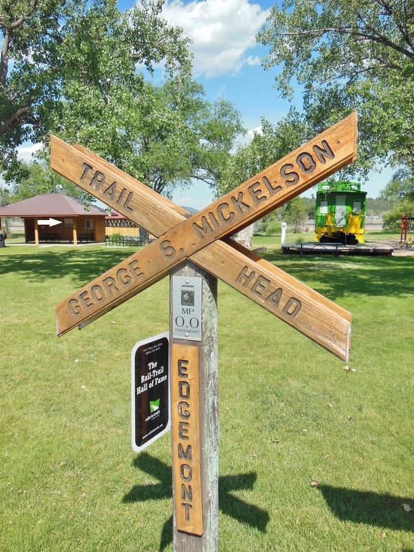
3. Edgemont: Where the Trail Begins Marker (marker is in kiosk beyond milepost zero sign)
Photographed by Cosmos Mariner, July 10, 2012
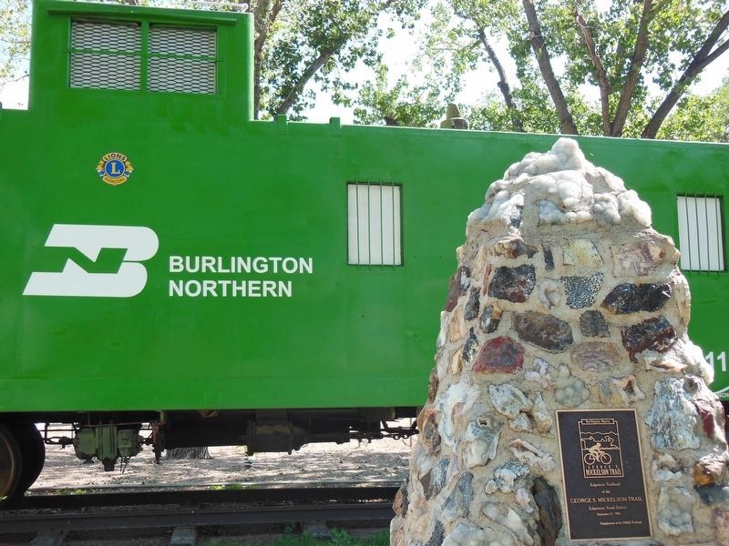
4. Mickelson Trail: Milepost Zero Plaque (located near marker)
Photographed by Cosmos Mariner, July 10, 2012
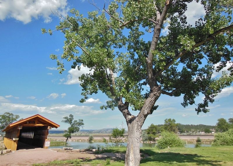
5. Mickelson Trail: Starting Point (located near marker)
Photographed by Cosmos Mariner, July 10, 2012
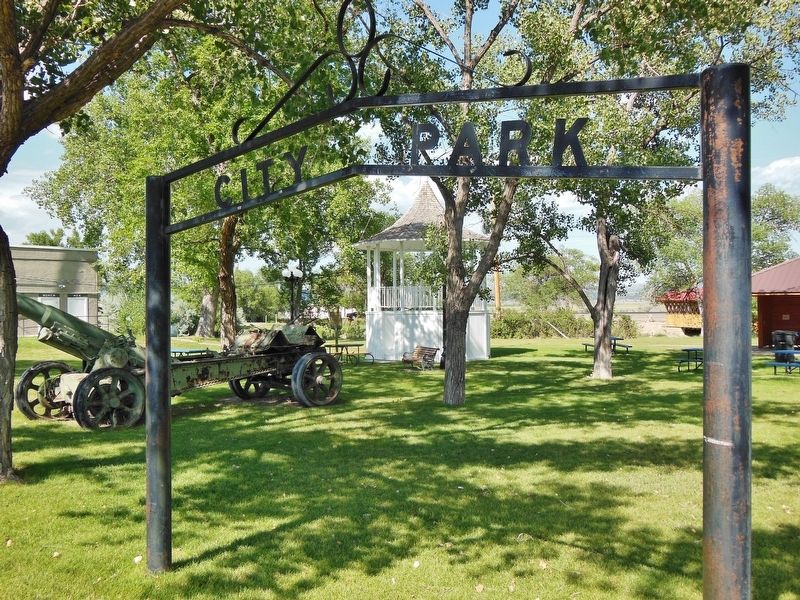
6. Edgemont City Park sign (located near marker)
Credits. This page was last revised on August 21, 2026. It was originally submitted on September 27, 2018, by Cosmos Mariner of Cape Canaveral, Florida. This page has been viewed 876 times since then and 58 times this year. Photos: 1, 2, 3, 4, 5, 6. submitted on September 29, 2018, by Cosmos Mariner of Cape Canaveral, Florida. • Bill Pfingsten was the editor who published this page.
