Near Acequia in Minidoka County, Idaho — The American West (Mountains)
Minidoka Dam
Photographed by Barry Swackhamer, May 15, 2018
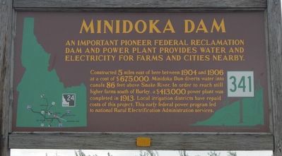
1. Minidoka Dam Marker
An important pioneer federal reclamation dam and power plant provides water and electricity for farms and cities nearby.
Constructed 5 miles east of here between 1904 and 1906 at a cost of $675,000, Minidoka Dam diverts water into canals 86 feet above Snake River. In order to reach still higher farms south of Burley, a $413,000 power plant was completed in 1913. Local irrigation districts have repaired costs of this project. This early federal power program led to national Rural Electrification Administration services.
Erected by Idaho Department of Transportation. (Marker Number 341.)
Topics and series. This historical marker is listed in these topic lists: Charity & Public Work • Industry & Commerce • Waterways & Vessels. In addition, it is included in the Idaho State Historical Society, and the Rural Electrification 💡 series lists.
Location. 42° 40.453′ N, 113° 35.555′ W. Marker is near Acequia, Idaho, in Minidoka County. It is at the intersection of State Highway 24 at milepost 10 and North 374 Lane East, on the right when traveling east
this page online

Regionally, this marker is in Magic Valley. It is also in the American Mountain West. Globally, it is in North America, the Western Hemisphere, the Western World, and the Anglosphere.
Other nearby markers. At least one other marker is within 4 miles of this marker, measured as the crow flies: Montgomery Ferry (approx. 3.8 miles away).
Photographed by Barry Swackhamer, May 15, 2018
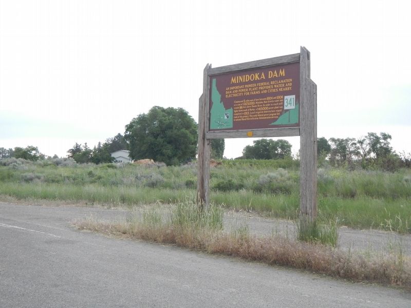
2. Minidoka Dam Marker
Credits. This page was last revised on August 25, 2020. It was originally submitted on September 30, 2018, by Barry Swackhamer of Brentwood, California. This page has been viewed 511 times since then and 37 times this year. Photos: 1, 2. submitted on September 30, 2018, by Barry Swackhamer of Brentwood, California.
