
Wadebridge in Cornwall, England, United Kingdom — Northwestern Europe (the British Isles)
Carnewas at Bedruthan
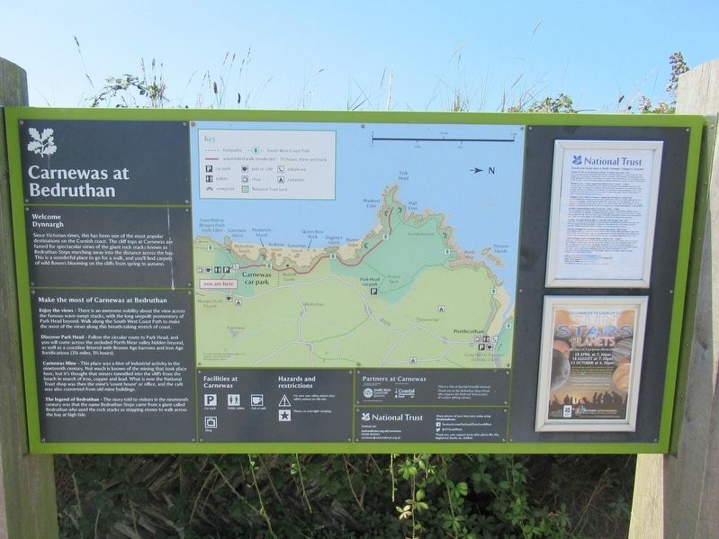
Photographed by Michael Herrick, August 5, 2018
1. Carnewas at Bedruthan Marker
Welcome Dynnargh
Since Victorian times, this has been one of the most popular destinations on the Cornish coast. The cliff tops at Carnewas are famed for spectacular views of the giant rock stacks known as Bedruthan Steps marching away into the distance across the bay. This is a wonderful place to go for a walk, and you'll find carpets of wild flowers blooming on the cliffs from spring to autumn.
Make the most of Carnewas at Bedruthan
Enjoy the views - There is an awesome nobility about the view across the famous wave-swept stacks, with the long unspoilt promontory of Park Head beyond. Walk along the South West Coast Path to make the most of the views along this breath-taking stretch of coast.
Discover Park Head - Follow the circular route to Park Head, and you will come across the secluded Porth Mear valley hidden beyond, as well as a coastline littered with Bronze Age barrows and Iron Age fortifications (314 miles, 1V2 hours)
Carnewas Mine - This place was a hive of industrial activity in the nineteenth century. Not much is known of the mining that took place here, but it's thought that miners tunnelled into
this page online
The legend of Bedruthan - The story told to visitors in the nineteenth century was that the name Bedruthan Steps came from a giant called Bedruthan who used the rock stacks as stepping stones to walk across the bay at high tide.
Topics. This historical marker is listed in this topic list: Natural Features.
Location. 50° 28.867′ N, 5° 1.939′ W. Marker is in Wadebridge, England, in Cornwall. It can be reached from England Route B3276 817.6 kilometers north of Henver Road, Newquay, on the left when traveling north. Touch for map. Marker is in this post office area: Wadebridge, England PL27 7UW, United Kingdom. Touch for directions.

Regionally, this marker is in South West England. Globally, it is on the Atlantic Ocean, in the North Atlantic Region, on the Atlantic Arc, in Europe, on the Celtic Fringe, in Atlantic Europe, on one of the British Isles, in the Western World,
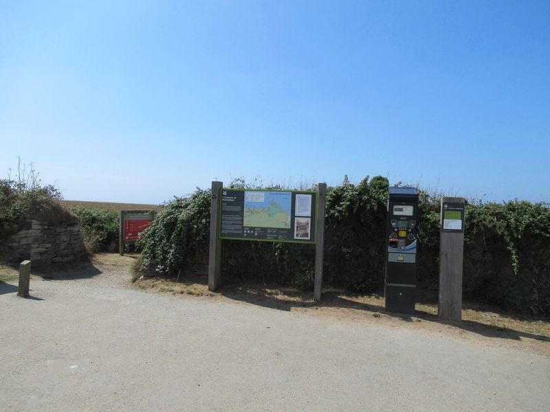
Photographed by Michael Herrick, August 5, 2018
2. Carnewas at Bedruthan Marker
Other nearby markers. At least one other marker is within 3 kilometers of this marker, measured as the crow flies: RAF St Eval (approx. 2.3 kilometers away).
Also see . . .
1. National Trust - Carnewas at Bedruthan. (Submitted on September 30, 2018, by Michael Herrick of Southbury, Connecticut.)
2. Carnewas and Bedruthan Steps on Wikipedia. (Submitted on September 30, 2018, by Michael Herrick of Southbury, Connecticut.)
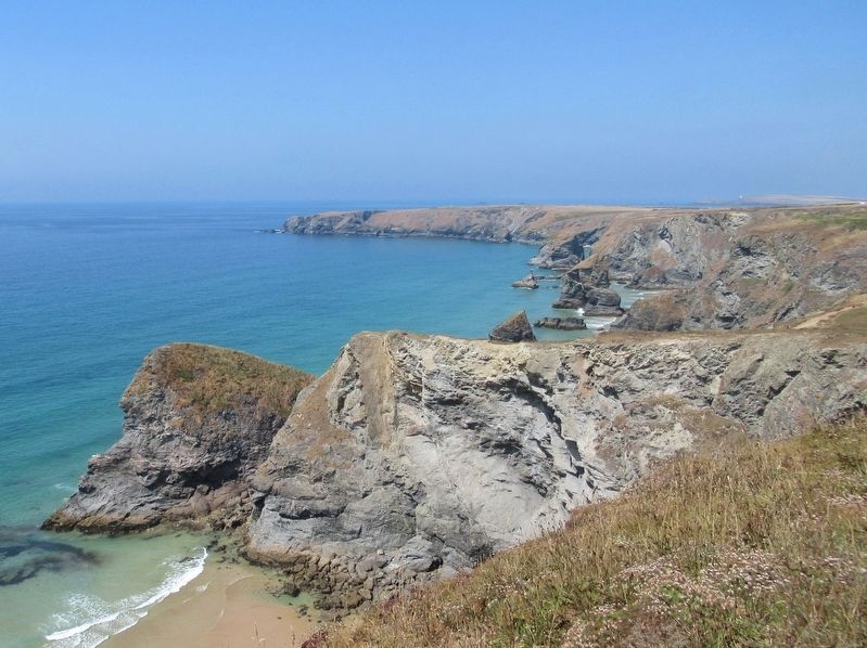
Photographed by Michael Herrick, August 5, 2018
3. The Bedruthan Steps and the Cornwall Coast
Credits. This page was last revised on January 27, 2022. It was originally submitted on September 30, 2018, by Michael Herrick of Southbury, Connecticut. This page has been viewed 947 times since then and 20 times this year. Photos: 1, 2, 3. submitted on September 30, 2018, by Michael Herrick of Southbury, Connecticut.
