
Tintagel in Cornwall, England, United Kingdom — Northwestern Europe (the British Isles)
Prince Dafydd’s tale
Photographed by Michael Herrick, August 5, 2018
1. Prince Dafydd’s tale Marker
Hwedhel Pennsevik Dafydd
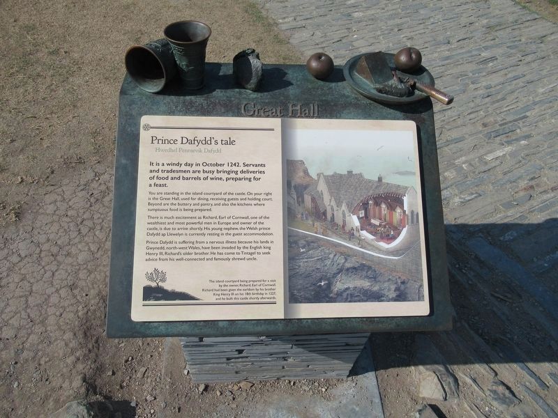
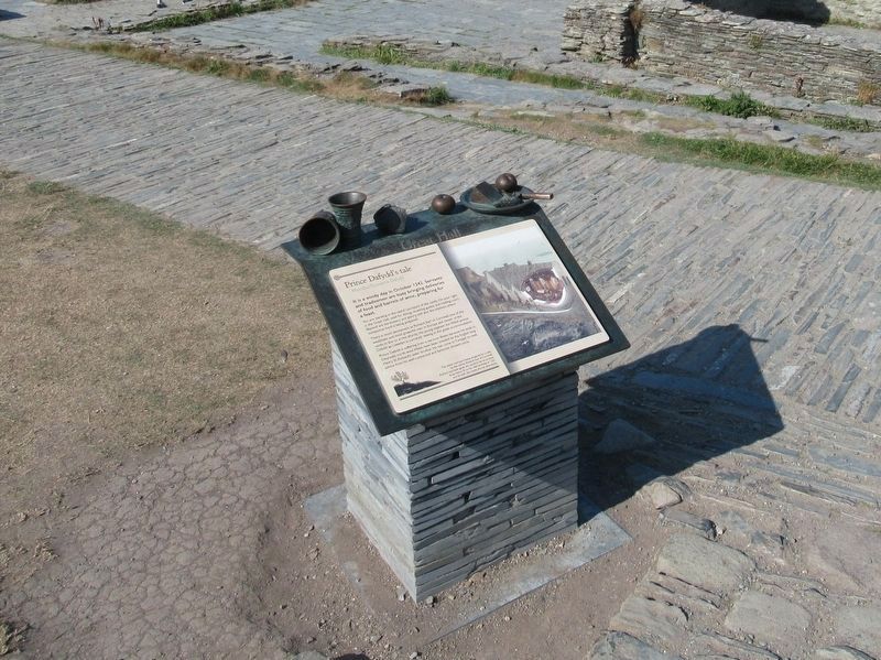
It is a windy day in October 1242. Servants and tradesmen are busy bringing deliveries of food and barrels of wine, preparing for a feast.
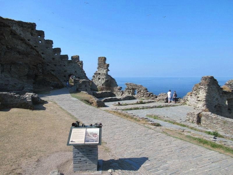
You are standing in the island courtyard of the castle. On your right is the Great Hall, used for dining, receiving guests and holding court. Beyond are the buttery and pantry, and also the kitchens where sumptuous food is being prepared.
There is much excitement as Richard, Earl of Cornwall, one of the wealthiest and most powerful men in Europe and owner of the castle, is due to arrive shortly. His young nephew, the Welsh prince Dafydd ap Llewelyn is currently resting in the guest accommodation.
Prince Dafydd is suffering from a nervous illness because his lands in Gwynedd, north-west Wales, have been invaded by the English king Henry III, Richard's older brother. He has come to Tintagel to seek advice from his well-connected and famously shrewd uncle.
The island courtyard being prepared for a visit by the owner, Richard, Earl of Cornwall. Richard had been given the earldom by his brother King Henry III on his 18th birthday
this page online
Topics. This historical marker is listed in this topic list: Forts and Castles.
Location. 50° 40.086′ N, 4° 45.58′ W. Marker is in Tintagel, England, in Cornwall. It can be reached from Castle Road 0.6 kilometers west of Atlantic Road, on the right when traveling west. Located at Tintagel Castle. Touch for map. Marker is in this post office area: Tintagel, England PL34 0HE, United Kingdom. Touch for directions.

Regionally, this marker is in South West England. Globally, it is on the Atlantic Ocean, in the North Atlantic Region, on the Atlantic Arc, in Europe, on the Celtic Fringe, in Atlantic Europe, on one of the British Isles, in the Western World, and in the Anglosphere. Historically, it finds itself in what was once the Roman Empire.
Other nearby markers. At least 8 other markers are within walking distance of this marker: Florence’s shelter (a few steps from this marker); A complicated ruin (a few steps from this marker); Excavations and discoveries (within shouting distance of this marker); The Trader’s tale
Photographed by Michael Herrick, August 5, 2018
2. Prince Dafydd’s tale Marker
Also see . . .
1. English Heritage - Tintagel Castle. (Submitted on October 1, 2018, by Michael Herrick of Southbury, Connecticut.)
2. Tintagel Castle on Wikipedia. (Submitted on October 1, 2018, by Michael Herrick of Southbury, Connecticut.)
Photographed by Michael Herrick, August 5, 2018
3. Prince Dafydd’s tale Marker
Credits. This page was last revised on January 27, 2022. It was originally submitted on October 1, 2018, by Michael Herrick of Southbury, Connecticut. This page has been viewed 652 times since then and 40 times this year. Photos: 1, 2, 3. submitted on October 1, 2018, by Michael Herrick of Southbury, Connecticut.
