
Tintagel in Cornwall, England, United Kingdom — Northwestern Europe (the British Isles)
The northern ruins
Photographed by Michael Herrick, August 5, 2018
1. The northern ruins Marker
An magoryow kledh
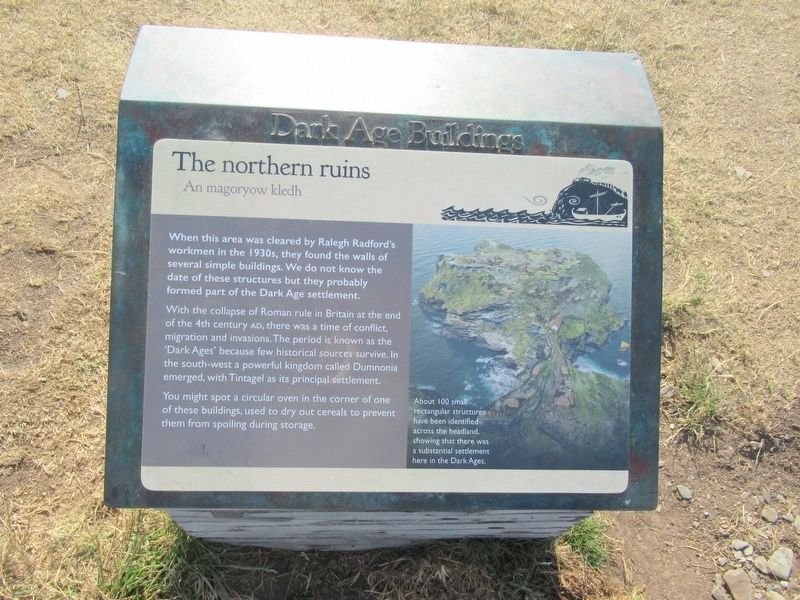
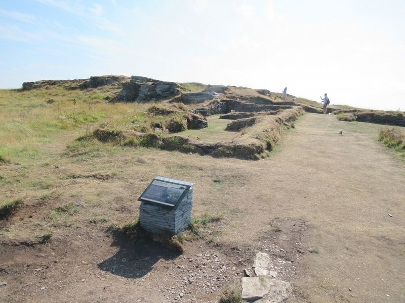
When this area was cleared by Ralegh Radford's workmen in the 1930s, they found the walls of several simple buildings. We do not know the date of these structures but they probably formed part of the Dark Age settlement.
With the collapse of Roman rule in Britain at the end of the 4th century AD, there was a time of conflict, migration and invasions. The period is known as the ‘Dark Ages’ because few historical sources survive. In the south-west a powerful kingdom called Dumnonia emerged, with Tintagel as its principal settlement.
You might spot a circular oven in the corner of one of these buildings, used to dry out cereals to prevent them from spoiling during storage.
About 100 small rectangular structures have been identified across the headland, showing that there was a substantial settlement here in the Dark Ages.
Topics. This historical marker is listed in this topic list: Forts and Castles.
Location. 50° 40.185′ N, 4° 45.724′ W. Marker is in Tintagel, England, in Cornwall. It can be reached from Castle
this page online

Regionally, this marker is in South West England. Globally, it is on the Atlantic Ocean, in the North Atlantic Region, on the Atlantic Arc, in Europe, on the Celtic Fringe, in Atlantic Europe, on one of the British Isles, in the Western World, and in the Anglosphere. Historically, it finds itself in what was once the Roman Empire.
Other nearby markers. At least 8 other markers are within walking distance of this marker: Tunnel (about 120 meters away, measured in a direct line); A romantic retreat (about 120 meters away); Well (about 120 meters away); A changing coastline (about 120 meters away); Tintagel village (about 120 meters away); The Priest’s tale (about 150 meters away); The Trader’s tale (about 180 meters away); Excavations and discoveries (about 210 meters away). Touch for a list and map of all markers in Tintagel.
Also see . . .
1. English Heritage - Tintagel Castle. (Submitted on October 1, 2018, by Michael Herrick of Southbury, Connecticut.)
2. Tintagel Castle on Wikipedia.
Photographed by Michael Herrick, August 5, 2018
2. The northern ruins Marker
Credits. This page was last revised on January 27, 2022. It was originally submitted on October 1, 2018, by Michael Herrick of Southbury, Connecticut. This page has been viewed 330 times since then and 48 times this year. Photos: 1, 2. submitted on October 1, 2018, by Michael Herrick of Southbury, Connecticut.
