Tintagel in Cornwall, England, United Kingdom — Northwestern Europe (the British Isles)
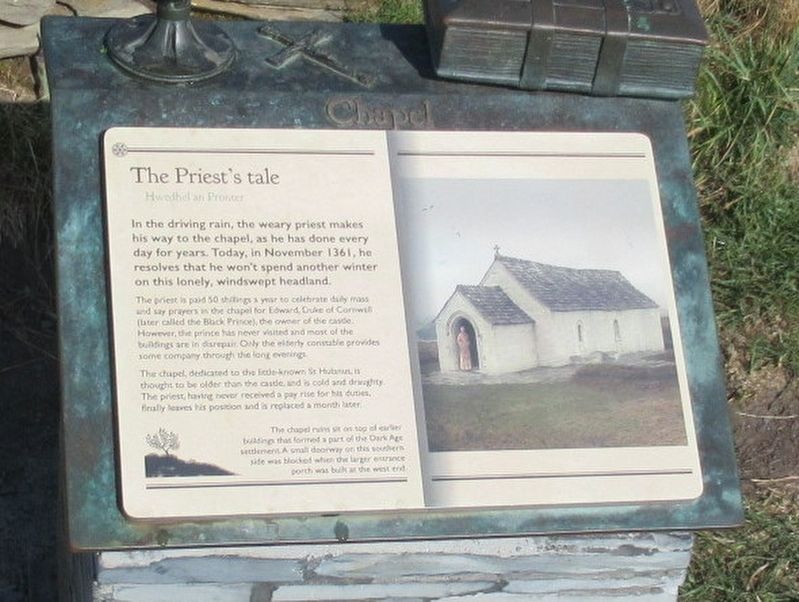
The Priestís tale
Hwedhel an Pronter
In the driving rain, the weary priest makes his way to the chapel, as he has done every day for years. Today, in November 1361, he resolves that he won't spend another winter on this lonely, windswept headland.
The priest is paid 50 shillings a year to celebrate daily mass and say prayers in the chapel for Edward, Duke of Cornwall (later called the Black Prince), the owner of the castle. However, the prince has never visited and most of the buildings are in disrepair. Only the elderly constable provides some company through the long evenings.
The chapel, dedicated to the little-known St Hulman is thought to be older than the castle, and is cold and draughty. The priest having never received a pay rise for his duties, finally leaves his position and is replaced a month later.
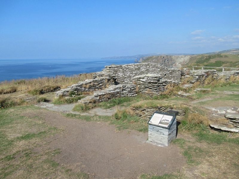
The chapel ruins on top of earlier buildings that formed a part of the Dark Ages settlement. A small doorway on the southern side was blocked when the larger entrance was built at the west end.
Topics. This historical marker is listed in these topic lists: Churches & Religion • Forts and Castles.
Location. 50° 40.112′ N, 4° 45.65′ W. Marker is in Tintagel, England, in Cornwall. Marker can be reached from Castle Road, 0.6 kilometers west of Atlantic Road, on the right when traveling west. Located at Tintagel Castle. Touch for map. Marker is in this post office area: Tintagel, England PL34 0HE, United Kingdom. Touch for directions.
Other nearby markers. At least 8 other markers are within walking distance of this marker. A romantic retreat (within shouting distance of this marker); The Traderís tale (within shouting distance of this marker); Excavations and discoveries (within shouting distance of this marker); Well (within shouting distance of this marker); Tintagel village (within shouting distance of this marker); A changing coastline (within shouting distance of this marker); A complicated ruin (within shouting distance of this marker); Prince Dafyddís tale (about 90 meters away, measured in a direct line). Touch for a list and map of all markers in Tintagel.
Also see . . .
1. English Heritage - Tintagel Castle. (Submitted on October 1, 2018, by Michael Herrick of Southbury, Connecticut.)
2. Tintagel Castle on Wikipedia. (Submitted on October 1, 2018, by Michael Herrick of Southbury, Connecticut.)
Credits. This page was last revised on January 27, 2022. It was originally submitted on October 1, 2018, by Michael Herrick of Southbury, Connecticut. This page has been viewed 265 times since then and 31 times this year. Photos: 1, 2. submitted on October 1, 2018, by Michael Herrick of Southbury, Connecticut.

