Muscle Shoals in Colbert County, Alabama — The American South (East South Central)
How Does Wilson Dam Work?
Wilson Dam
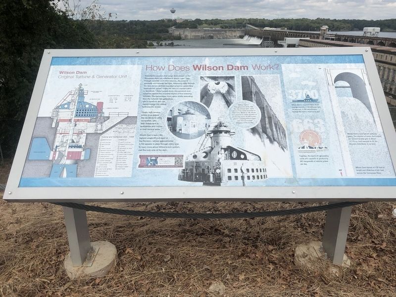
Potential floodwaters that surge downstream on the Tennessee River are collected in Wilson Lake. Then, through carefully controlled releases, the water is gradually sent through the dam. Releasing water through the dam serves another important purpose: generating hydroelectric power. Inside the dam is a tunnel called a "penstock." Water surges down this penstock and smashes against the propeller blades of five towering turbines. The tremendous force spins shafts extending from the turbines into generators, which transform this raw natural energy into usable hydroelectric power.
Finally, high-tension power lines deliver the electricity to utility companies, who then distribute it to businesses and homes in their service areas. Wilson Dam's lock - the highest single lift lock east of the Rockies - allows approximately 3,700 vessels to pass through every year. To learn more about Wilson's lock system, visit the lock side of the dam.
Original Turbine & Generator Unit
Turbine and Generator Unit 1925
A. Pilot Exciter
B. Main Exciter
C. Fan
D. Thrust Collar
E. Bearing Cooling Coil
F. Thrust Bearing
G. Upper Guide Bearing
H. Upper Bracket
I. Stator Laminations
J. Stator Windings
K. Field Windings and Laminations
L. Rotor Spider
M. Lower Guide Bearing
N. Lower Bracket
O. Bracket & Jack
P. Generator Leads
Turbine Key
1. Shaft Coupling
2. Inspection Platform
3. Ladder
4. Governor Oil Pipes
5. Pit Liner
6. Guide Vane Lever
7. Regulating Cylinder
8. Head Cover
9. Lignum Vitae
10. Stay Vanes
11. Guide Vanes
12. Runner Vanes
13. Francis Turbine
14. Draft Cone
Wilson Dam's first generator units, like the one shown here, were some of the most powerful of their time. Made by GE, those first generators were capable of producing up to 35,000 horse-power - helping Wilson Dam earn the nickname "Niagara of the South."
Wilson Dam's reservoir has a flood-storage capacity of 50,500 acre-feet. On average, 3,700 vessels pass through the dam's locks each year.
Together, the dam's 21 generating units are capable of producing 663 megawatts of electric power per day.
Wilson Dam's face has 49 spillway gates. The amount of water discharged per second by one gate is about 12.175 cu. feet - enough to fill the Houston Astrodome in an hour.
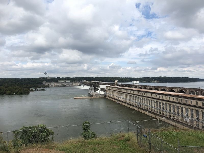
Wilson Dam stands at 137 feet in height and stretches 4,541 feet across the Tennessee River.
Topics. This historical marker is listed in these topic lists: Charity & Public Work
• Industry & Commerce • Waterways & Vessels.
Location. 34° 47.629′ N, 87° 37.543′ W. Marker is in Muscle Shoals, Alabama, in Colbert County. Marker is on Reservation RD. The marker is located next to Powerhouse at Visitor Overlooking the Tennessee River and Dam. Touch for map. Marker is in this post office area: Muscle Shoals AL 35661, United States of America. Touch for directions.
Other nearby markers. At least 8 other markers are within walking distance of this marker. Origin of the Francis Turbine (a few steps from this marker); Wilson Dam and the TVA System (a few steps from this marker); TVA: Our Enduring Mission/Powering Prosperity (about 300 feet away, measured in a direct line); TVA Goes to War (about 300 feet away); TVA: A History of Progress and Innovation / A Valley of Hardships (about 300 feet away); Building a New Future (about 300 feet away); Natural and Cultural Preservation/Protecting Resources (about 300 feet away); Wilson Dam: Setting the Stage (about 300 feet away). Touch for a list and map of all markers in Muscle Shoals.
Credits. This page was last revised on February 9, 2020. It was originally submitted on October 1, 2018, by Sandra Hughes Tidwell of Killen, Alabama, USA. This page has been viewed 369 times since then and 31 times this year. Photos: 1, 2. submitted on October 1, 2018, by Sandra Hughes Tidwell of Killen, Alabama, USA. • Bill Pfingsten was the editor who published this page.

