Tintagel in Cornwall, England, United Kingdom — Northwestern Europe (the British Isles)
The Haven
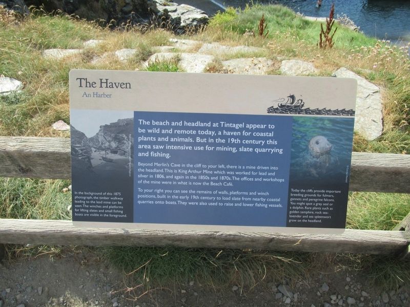
The Haven
An Harber
The beach and headland at Tintagel appear to be wild and remote today, a haven for coastal plants and animals. But in the 19th century this area saw intensive use for mining, slate quarrying and fishing.
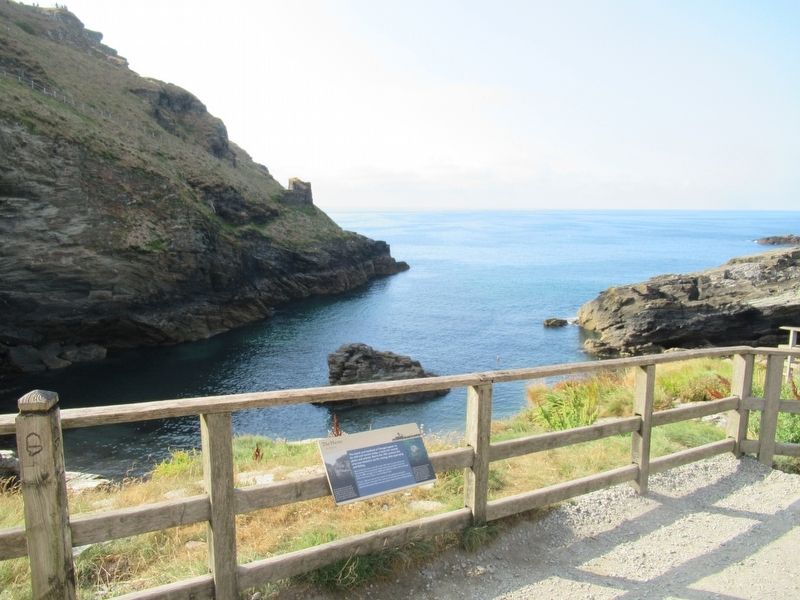
Beyond Merlin's Cave in the cliff to your left, there is a mine driven into the headland. This is King Arthur Mine which was worked for lead and silver in 1806, and again in the 1850s and 1870s. The offices and workshops of the mine were in what is now the Beach Café.
To your right you can see the remains of walls, platforms and winch positions, built in the early 19th century to load slate from nearby coastal quarries onto boats.They were also used to raise and lower fishing vessels.
( photo captions )
In the background of this 1875 photograph, the timber walkway leading to the lead mine can be seen. The winches and platforms for lifting slates and small fishing boats are visible in the foreground.
Today the cliffs provide important breeding grounds for fulmars, gannets and peregrine falcons. You might spot a grey seal or a dolphin. Rare plants such as golden samphire, rock sealavender and sea spleenwort grow on the headland.
Topics. This historical marker is listed in these topic lists: Forts and Castles • Industry & Commerce.
Location. 50° 40.105′ N, 4° 45.497′ W. Marker is in Tintagel, England, in Cornwall. Marker can be reached from Castle Road, 0.6 kilometers west of Atlantic Road, on the right when traveling west. Located at Tintagel Castle. Touch for map. Marker is in this post office area: Tintagel, England PL34 0HE, United Kingdom. Touch for directions.
Other nearby markers. At least 8 other markers are within walking distance of this marker. Where history meets legend (a few steps from this marker); Prince Dafydd’s tale (about 90 meters away, measured in a direct line); Florence’s shelter (about 90 meters away); A complicated ruin (about 120 meters away); The Sheriff’s Tale (about 120 meters away); Excavations and discoveries (about 120 meters away); The Trader’s tale (about 120 meters away); Upper Courtyard (about 120 meters away). Touch for a list and map of all markers in Tintagel.
Also see . . .
1. English Heritage - Tintagel Castle. (Submitted on October 2, 2018, by Michael Herrick of Southbury, Connecticut.)
2. Tintagel Castle on Wikipedia. (Submitted on October 2, 2018, by Michael Herrick of Southbury, Connecticut.)
Credits. This page was last revised on January 27, 2022. It was originally submitted on October 2, 2018, by Michael Herrick of Southbury, Connecticut. This page has been viewed 183 times since then and 22 times this year. Photos: 1, 2. submitted on October 2, 2018, by Michael Herrick of Southbury, Connecticut.

