Near Leamington in Essex County, Ontario — Central Canada (North America)
Middle Island
⎯⎯⎯
Île Middle
Carolinian Canada

Photographed by Joel Seewald, September 8, 2018
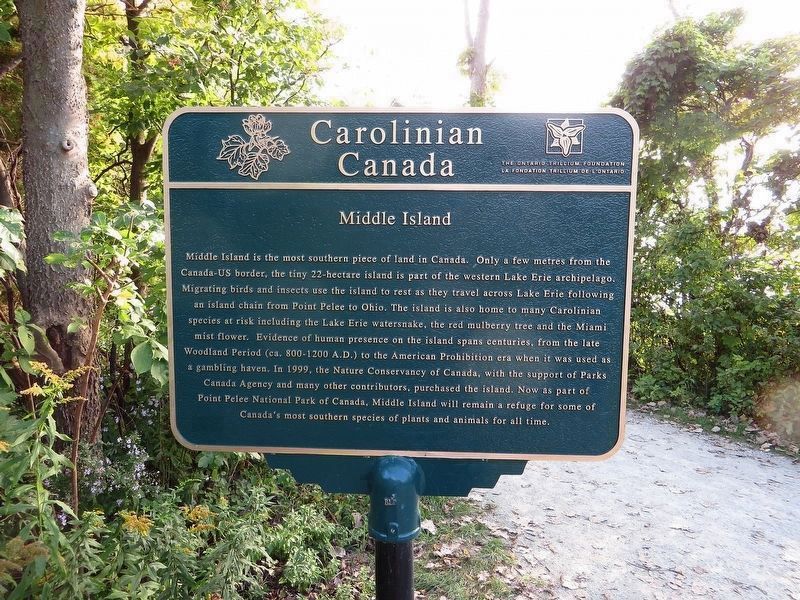
1. Middle Island - Marker (English)

Middle Island
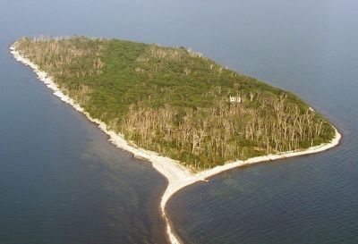
Middle Island is the most southern piece of land in Canada. Only a few metres from the Canada-US border, the tiny 22-hectare island is part of the western Lake Erie archipelago. Migrating birds and insects use the island to rest as they travel across Lake Erie following an island chain from Point Pelee to Ohio. The island is also home to many Carolinian species at risk including the Lake Erie watersnake, the red mulberry tree and the Miami mist flower. Evidence of human presence on the island spans centuries, from the late Woodland Period (ca. 800-1200 A.D.) to the American Prohibition era when it was used as a gambling haven. In 1999, the Nature Conservancy of Canada, with the support of Parks Canada Agency and many other contributors, purchased the island. Now as part of Point Pelee National Park of Canada, Middle Island will remain a refuge for some of Canada's most southern species of plants and animals for all time.
Île Middle
this page online
Erected by Carolinian Canada Coalition.
Topics. This historical marker is listed in this topic list: Environment. A significant historical year for this entry is 1999.
Location. 41° 54.718′ N, 82° 30.589′ W.

Photographed by Joel Seewald, September 8, 2018
2. Middle Island - Marker (French)

Regionally, this marker is in the Southwest Ontario Area and in Southwestern Ontario. It is also in Central Canada. Globally, it is in North America, on the Great Lakes, in the Western Hemisphere, in the Western World, and in the Anglosphere. Historically, it finds itself in what was once a British colony, the Viceroyalty of New France, the Haudenosaunee (Iroquois) Confederacy, and Rupert’s Land.
Other nearby markers. At least 2 other markers are within 24 kilometers of this marker, measured as the crow flies: The Founding of Leamington (approx. 17.8 kilometers away); Unitarian Universalist Church of Olinda / L’Église Universaliste Unitarienne d’Olinda (approx. 23.6 kilometers away).
Credits. This page was last revised on July 31, 2026. It was originally submitted on October 2, 2018, by Joel Seewald of Madison Heights, Michigan. This page has been viewed 481 times since then and 88 times this year. Photos: 1, 2. submitted on October 2, 2018, by Joel Seewald of Madison Heights, Michigan. 3, 4. submitted on July 31, 2026, by Kevin Westell of St. Catharines, Ontario.
