Point Pleasant in Mason County, West Virginia — The American South (Appalachia)
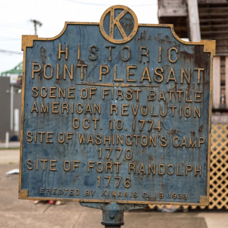
Historic Point Pleasant
Scene of first battle, American Revolution, Oct. 10, 1774.
Site of Washington’s Camp, 1770.
Site of Fort Randolph, 1776
Erected 1933 by Kiwanis Club.
Topics. This historical marker is listed in these topic lists: Forts and Castles • Settlements & Settlers • War, US Revolutionary • Wars, US Indian. A significant historical year for this entry is 1774.
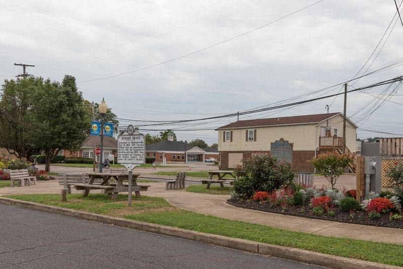
Location. 38° 50.548′ N, 82° 8.291′ W. Marker is in Point Pleasant, West Virginia, in Mason County. Marker is on 4th Street east of Main Street, in the median. Touch for map. Marker is in this post office area: Point Pleasant WV 25550, United States of America. Touch for directions.
Other nearby markers. At least 8 other markers are within walking distance of this marker. “Border Grays” (here, next to this marker); “Legend of the Mothman” (within shouting distance of this marker); Mason County Veterans Memorial (within shouting distance of this marker); 330 Main Street (within shouting distance of this marker); 313 Main Street (within shouting distance of this marker); Point Pleasant River Museum (within shouting distance of this marker); Historic Lowe Hotel (within shouting distance of this marker); Lord Dunmore's War (about 400 feet away, measured in a direct line). Touch for a list and map of all markers in Point Pleasant.
Regarding Historic Point Pleasant. The 1774 battle predates the American Revolution by five months. It was the Virginia colonists against Chief Cornstalk in Dunmoore’s War. Cornstalk lost the battle and retreated across the Ohio River. The resulting truce kept American soldiers from fighting on two fronts for the first two years of the Revolutionary War, allowing the focus to be on the British.
George Washington’s 1770 journey to the Ohio River Valley was for a survey of military grants that had been awarded in 1754 by Virginia Governor Dinwiddie to officers and soldiers who had served in the French and Indian War. Of the 80 square miles awarded to various officers, Washington's share was a little over 17 square miles.
In 1776, a new fort was built on the site of an earlier stockade and named for the recently deceased Virginia official Peyton Randolph (1721–1775). Fort Randolph is best remembered as the place where Chief Cornstalk was murdered in 1777. It withstood attack by Indians the following year, but was abandoned in 1779.
Credits. This page was last revised on October 2, 2018. It was originally submitted on October 2, 2018, by J. J. Prats of Powell, Ohio. This page has been viewed 441 times since then and 34 times this year. Photos: 1, 2. submitted on October 2, 2018, by J. J. Prats of Powell, Ohio.

