The Avenues in Salt Lake City in Salt Lake County, Utah — The American Mountains (Southwest)
Anderson Tower
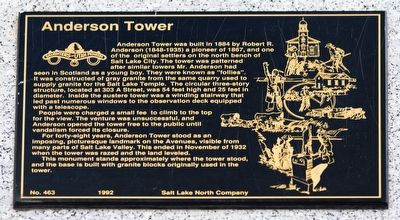
Photographed by Andrew Johnson, October 2, 2018
1. Anderson Tower Marker
People were charged a small fee to climb to the top for the view. The venture was unsuccessful, and Anderson opened the tower free to the public until vandalism forced its closure.
For forty-eight years, Anderson Tower stood as an imposing, picturesque landmark on the Avenues, visible from many parts of Salt Lake Valley. This ended in November of 1932 when the tower was razed and the land leveled.
This monument stands approximately where the tower stood, and the base is built with granite blocks originally
this page online
Erected 1992 by Salt Lake North Company, Daughters of Utah Pioneers. (Marker Number 463.)
Topics and series. This historical marker is listed in these topic lists: Architecture • Man-Made Features • Settlements & Settlers. In addition, it is included in the Daughters of Utah Pioneers series list. A significant historical month for this entry is November 1932.
Location. 40° 46.586′ N, 111° 53.027′ W. Marker is in Salt Lake City, Utah, in Salt Lake County. It is in The Avenues. It is on A Street, on the right when traveling south. Touch for map. Marker is in this post office area: Salt Lake City UT 84103, United States of America. Touch for directions.

Regionally, this marker is in the Wasatch Front and in Greater Salt Lake. It is also in the American Mountain West and on the Colorado Plateau. Globally, it is in North America, the Rocky Mountains, the Western Hemisphere, the Western World, and the Anglosphere. Historically, it finds itself in what was once New Spain and also Mexico’s Alta California.
Other nearby markers. At least 8 other markers are within walking distance of this marker: 145th United States Field Artillery Memorial
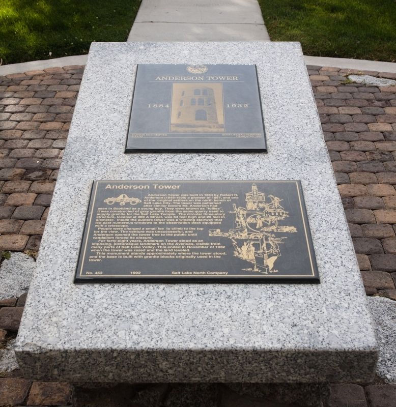
Photographed by Andrew Johnson, October 2, 2018
2. Anderson Tower Marker
Another marker is no longer nearby. Council Hall (was approx. 0.2 miles away but has been replaced with another marker now near it).
Also see . . . Atlas Obscura. Link tells the story of the tower and has a photograph of the standing tower. (Submitted on October 3, 2018, by Andrew Johnson of Salt Lake City, Utah.)
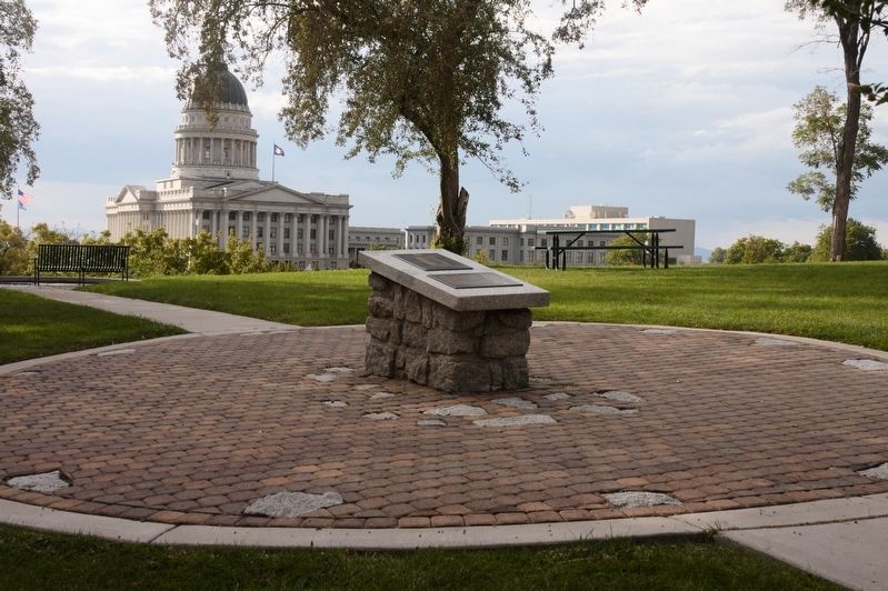
Photographed by Andrew Johnson, October 2, 2018
3. Anderson Tower Marker
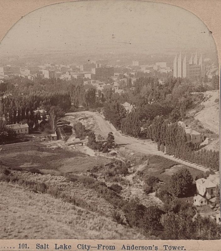
Published by T.W. Ingersoll, St. Paul, Minn. (image courtesy of the Library of Congress), 1897
4. Salt Lake City - from Anderson's Tower
This is the right half of a stereoscopic view of Salt Lake City from the tower.
Credits. This page was last revised on February 16, 2023. It was originally submitted on October 3, 2018, by Andrew Johnson of Salt Lake City, Utah. This page has been viewed 2,993 times since then and 132 times this year. Photos: 1, 2, 3. submitted on October 3, 2018, by Andrew Johnson of Salt Lake City, Utah. 4. submitted on October 3, 2018. • Andrew Ruppenstein was the editor who published this page.
