Launceston in Cornwall, England, United Kingdom — Northwestern Europe (the British Isles)
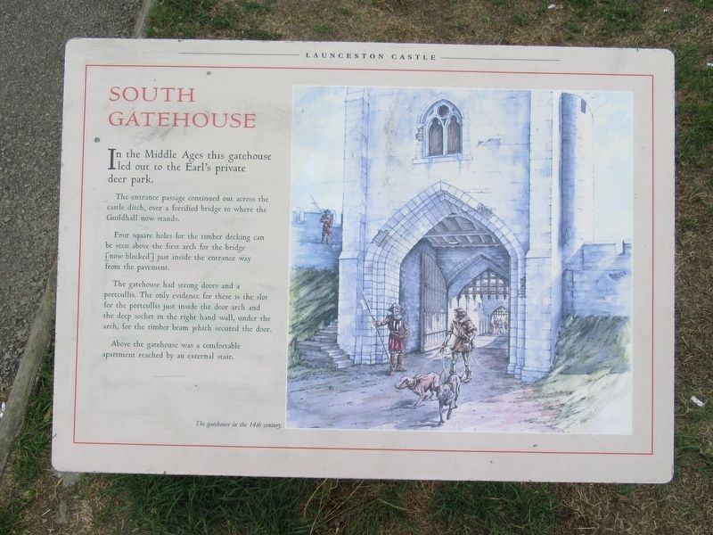
South Gatehouse
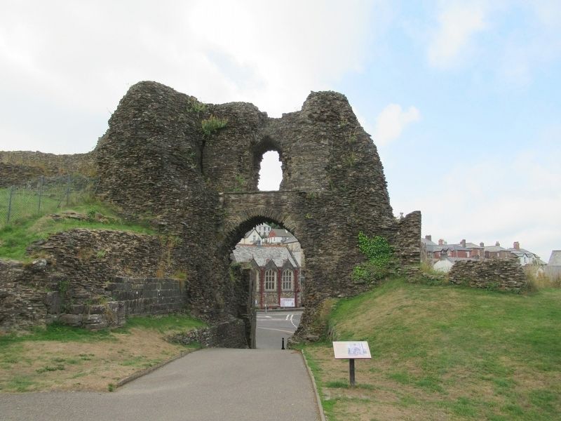
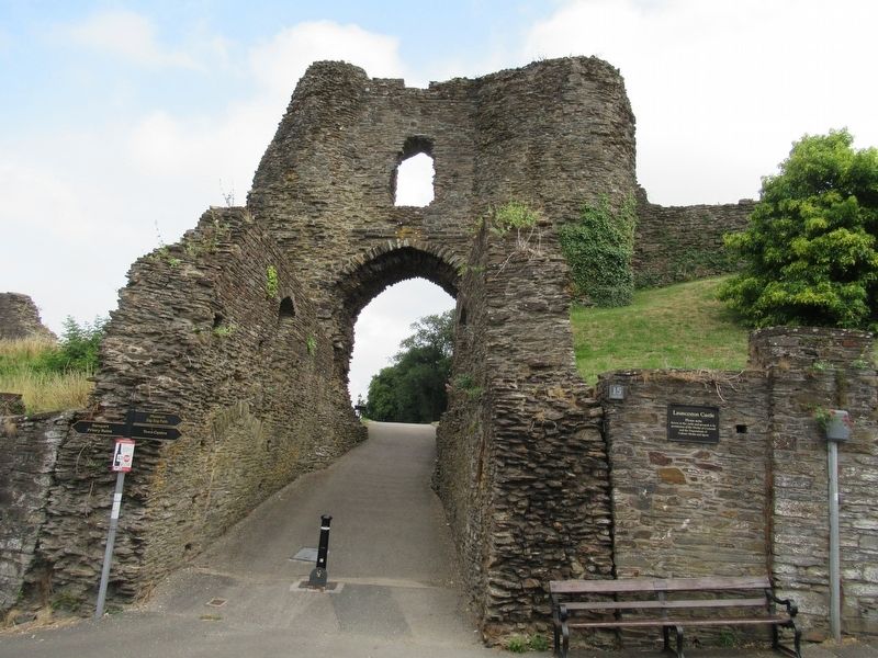
In the Middle Ages this gatehouse led out to the Earl's private deer park. The entrance passage continued out across the castle ditch, over a fortified bridge to where the Guildhall now stands.
Four square holes for the timber decking can be seen above the first arch for the bridge [now blocked] just inside the entrance way from the pavement. The gatehouse had strong doors and a portcullis. The only evidence for these is the slot for the portcullis just inside the door arch and the deep socket in the right hand wall, under the arch, for the timber beam which secured the door.
Above the gatehouse was a comfortable apartment reached by an external stair.
Topics. This historical marker is listed in this topic list: Forts and Castles.
Location. 50° 38.19′ N, 4° 21.744′ W. Marker is in Launceston, England, in Cornwall. Marker can be reached from the intersection of Western Road and Dockey, on the left when traveling north. Located at Launceston Castle. Touch for map. Marker is in this post office area: Launceston, England PL15 7DR, United Kingdom. Touch for directions.
Other nearby markers. At least 8 other markers are within walking distance of this marker. Moote Hall (a few steps from this marker); Kitchen (within shouting distance of this marker); The Castle Courtyard in the 13th Century (within shouting distance of this marker); The Keep (about 90 meters away, measured in a direct line); The development of the Castle (about 90 meters away); The Trafalgar Way (about 120 meters away); gorseth kernow (about 120 meters away); Saint Cuthbert Mayne (about 120 meters away). Touch for a list and map of all markers in Launceston.
Also see . . . English Heritage - Launceston Castle. (Submitted on October 3, 2018, by Michael Herrick of Southbury, Connecticut.)
Credits. This page was last revised on January 27, 2022. It was originally submitted on October 3, 2018, by Michael Herrick of Southbury, Connecticut. This page has been viewed 91 times since then and 4 times this year. Photos: 1, 2, 3. submitted on October 3, 2018, by Michael Herrick of Southbury, Connecticut.


