Launceston in Cornwall, England, United Kingdom — Northwestern Europe (the British Isles)
The development of the Castle
The development of the Castle
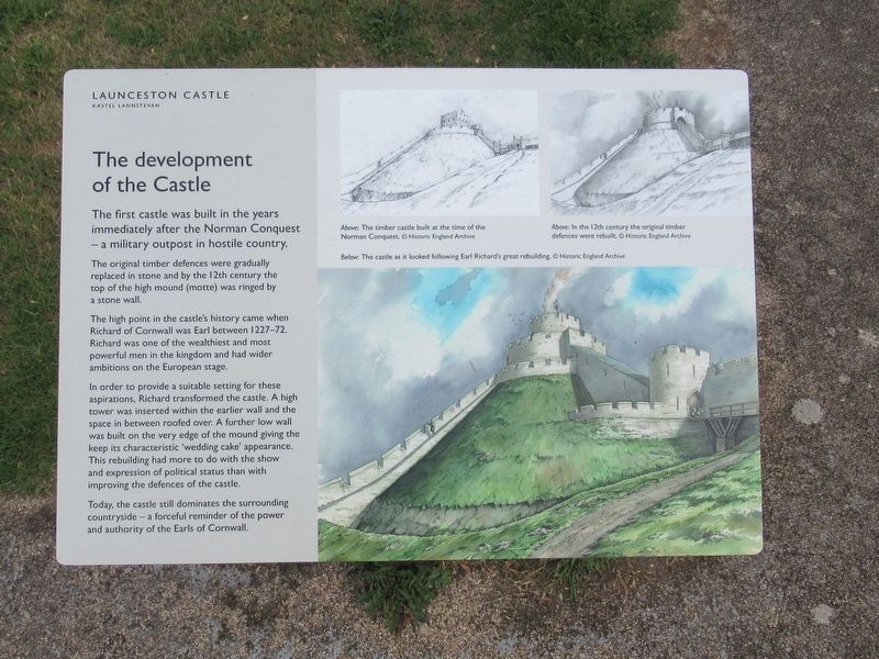
The first castle was built in the years immediately after the Norman Conquest — a military outpost in hostile country.
The original timber defences were gradually replaced in stone and by the 12th century the top of the high mound (motte) was ringed by a stone wall.
The high point in the castle's history came when Richard of Cornwall was Earl between 1227-72. Richard was one of the wealthiest and most powerful men in the kingdom and had wider ambitions on the European stage.
In order to provide a suitable setting for these aspirations, Richard transformed the castle. A high tower was inserted within the earlier wall and the space in between roofed over. A further low wall was built on the very edge of the mound giving the keep its characteristic ‘wedding cake’ appearance. This rebuilding had more to do with the show and expression of political status than with improving the defences of the castle.
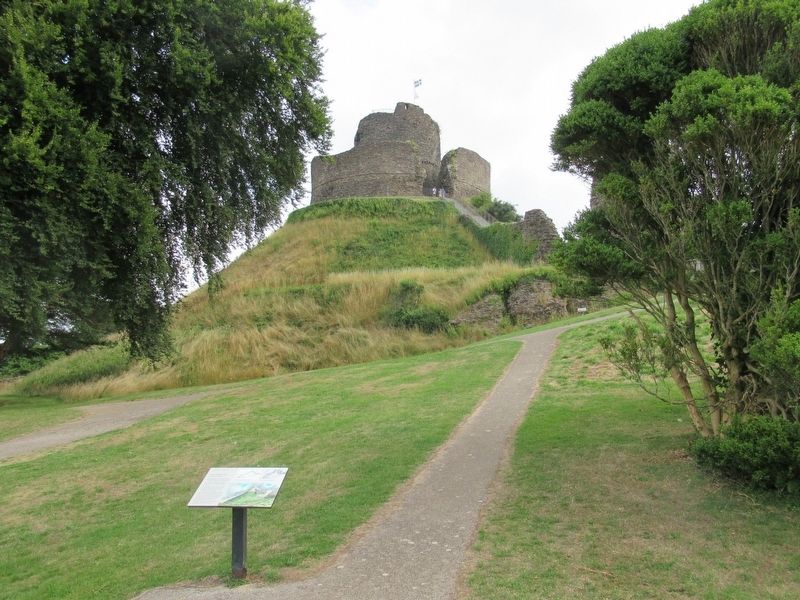
Today, the castle still dominates the surrounding countryside — a forceful reminder of the power and authority of the Earls of Cornwall.
( photo captions )
Above: The timber castle built at the time of the Norman Conquest.
Above: In the 12th century the original timber defences were rebuilt.
Below: The castle as it looked following Earl Richard’s great rebuilding.
Topics. This historical marker is listed in this topic list: Forts and Castles.
Location. 50° 38.23′ N, 4° 21.706′ W. Marker is in Launceston, England, in Cornwall. Marker can be reached from the intersection of Western Road and Dockey, on the left when traveling north. Located at Launceston Castle. Touch for map. Marker is in this post office area: Launceston, England PL15 7DR, United Kingdom. Touch for directions.
Other nearby markers. At least 8 other markers are within walking distance of this marker. The Keep (within shouting distance of this marker); The Gate (within shouting distance of this marker); The Castle Courtyard in the 13th Century (within shouting distance of this marker); The Earl’s Chamber (within shouting distance of this marker); Shell Keep (within shouting distance of this marker); The Landscape (within shouting distance of this marker); Dooms-Dale Launceston Castle (within shouting distance of this marker); gorseth kernow (within shouting distance of this marker). Touch for a list and map of all markers in Launceston.
Also see . . . English Heritage - Launceston Castle. (Submitted on October 3, 2018, by Michael Herrick of Southbury, Connecticut.)
Credits. This page was last revised on January 27, 2022. It was originally submitted on October 3, 2018, by Michael Herrick of Southbury, Connecticut. This page has been viewed 93 times since then and 5 times this year. Photos: 1, 2. submitted on October 3, 2018, by Michael Herrick of Southbury, Connecticut.

