
Launceston in Cornwall, England, United Kingdom — Northwestern Europe (the British Isles)
The Landscape
Photographed by Michael Herrick, August 6, 2018
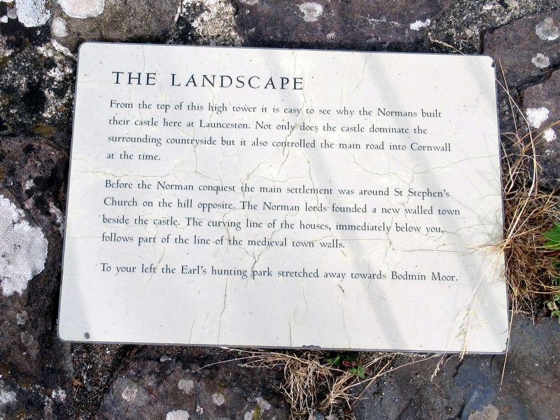
1. The Landscape Marker
The Landscape
From the top of this high tower it is easy to see why the Normans built their castle here at Launceston. Not only does the castle dominate the surrounding countryside but it also controlled the main road into Cornwall at the time.
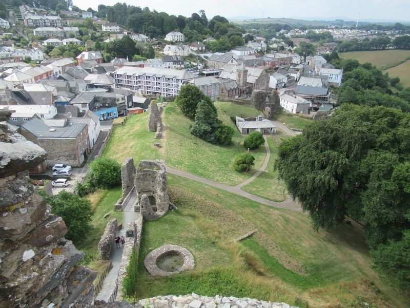
Before the Norman conquest the main settlement was around St Stephen's Church on the hill opposite. The Norman lords founded a new walled town beside the castle. The curving line of the houses, immediately below you, follows part of the line of the medieval town walls.
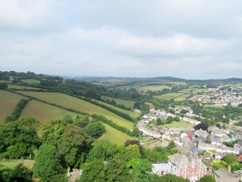
To your left the Earl's hunting park stretched away towards Bodmin Moor.
Topics. This historical marker is listed in this topic list: Forts and Castles.
Location. 50° 38.256′ N, 4° 21.68′ W. Marker is in Launceston, England, in Cornwall. It can be reached from Western Road close to Dockey, on the left when traveling north. Located at Launceston Castle. Touch for map. Marker is in this post office area: Launceston, England PL15 7DR, United Kingdom. Touch for directions.

Regionally, this marker is in South West England. Globally, it is on the Atlantic
this page online
Other nearby markers. At least 8 other markers are within walking distance of this marker: The Earl’s Chamber (here, next to this marker); Shell Keep (a few steps from this marker); The Gate (a few steps from this marker); The development of the Castle (within shouting distance of this marker); The Keep (within shouting distance of this marker); Dooms-Dale Launceston Castle (within shouting distance of this marker); North Gate House (within shouting distance of this marker); gorseth kernow (about 90 meters away, measured in a direct line). Touch for a list and map of all markers in Launceston.
Also see . . . English Heritage - Launceston Castle. (Submitted on October 3, 2018, by Michael Herrick of Southbury, Connecticut.)
Photographed by Michael Herrick, August 6, 2018
2. The Landscape
The ruins of Launceston Castle and the Town of Launceston seen from the marker on top of the Tower Keep
Photographed by Michael Herrick, August 6, 2018
3. The Landscape
The Town of Launceston and surrounding fields seen from the marker on top of the Tower Keep
Photographed by Michael Herrick, August 6, 2018
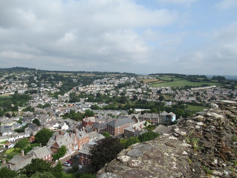
4. The Landscape
The Town of Launceston seen from the marker on top of the Tower Keep
Credits. This page was last revised on January 27, 2022. It was originally submitted on October 3, 2018, by Michael Herrick of Southbury, Connecticut. This page has been viewed 199 times since then and 5 times this year. Photos: 1, 2, 3, 4. submitted on October 3, 2018, by Michael Herrick of Southbury, Connecticut.
