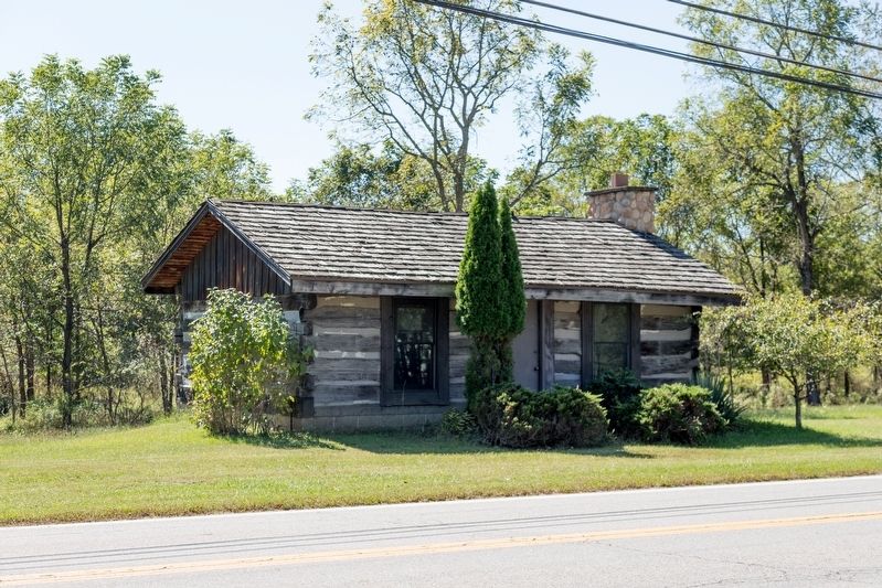
Washington in Wood County, West Virginia — The American South (Appalachia)
Washington Bottom
Photographed by J. J. Prats, September 28, 2018
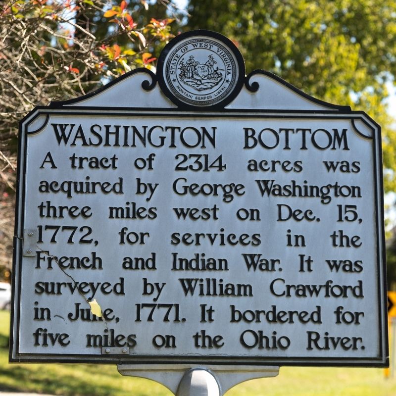
1. Washington Bottom Marker
A tract of 2314 acres was acquired by George Washington three miles west on Dec. 15, 1772, for services in the French and Indian War. It was surveyed by William Crawford in June, 1771. It bordered for five miles on the Ohio River.
Topics and series. This historical marker is listed in these topic lists: Colonial Era • Settlements & Settlers. In addition, it is included in the West Virginia Archives and History series list. A significant historical year for this entry is 1772.
Location. 39° 14.358′ N, 81° 40.532′ W. Marker is in Washington, West Virginia, in Wood County. It is on Dupont Road (West Virginia Route 892) west of Meldahl Rd (County Route 36), on the right when traveling west. Touch for map. Marker is in this post office area: Washington WV 26181, United States of America. Touch for directions.

Regionally, this marker is in the Mid-Ohio Valley. It is also in the American South, specifically in the Upper South, in the Ohio River Valley, in Appalachia, and specifically in Northern Appalachia. Globally, it is in North America, the Western Hemisphere, the Western World, and the Anglosphere. Historically,
this page online
Other nearby markers. At least 8 other markers are within 5 miles of this marker, measured as the crow flies: Prehistoric Sites (approx. 3½ miles away); Farmer's Castle (approx. 3.9 miles away in Ohio); Belpre (approx. 3.9 miles away in Ohio); Cedarville Cemetery (approx. 4½ miles away in Ohio); Famous Persons Who Traveled by Blennerhassett Island (approx. 4½ miles away); Maze (approx. 4½ miles away); Site of Tenant House and Broom Factory (approx. 4½ miles away); Hothouses (approx. 4.6 miles away).
Also see . . . History of Washington Bottom. West Virgina Archives and History website entry:
Photographed by J. J. Prats, September 28, 2018
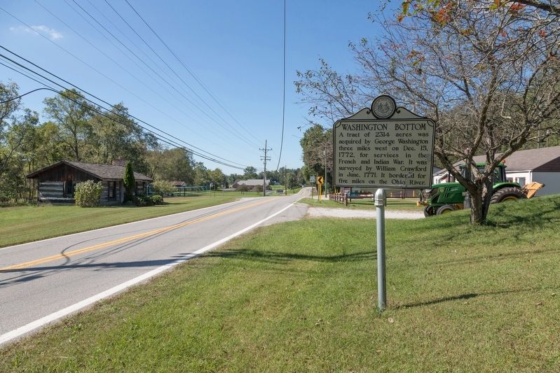
2. Washington Bottom Marker