Edna in Jackson County, Texas — The American South (West South Central)
Brackenridge Cemetery
(Seven Miles Southeast)
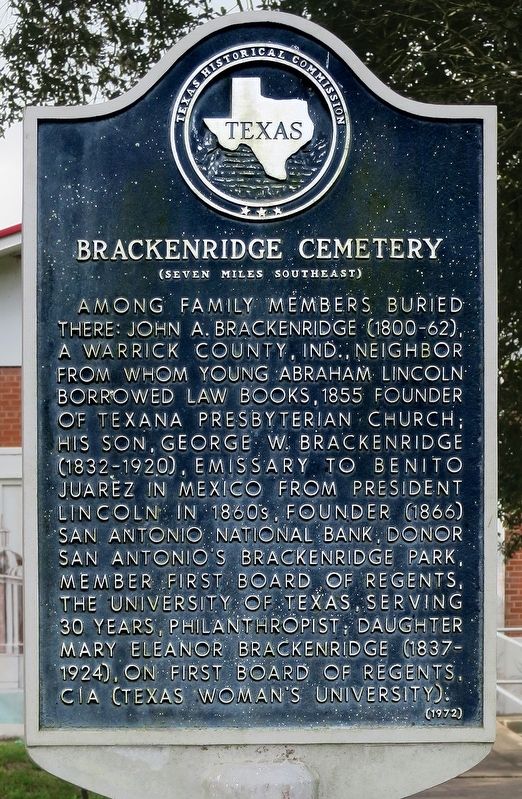
Photographed by Jim Evans, October 6, 2018
1. Brackenridge Cemetery Marker
Erected 1972 by Texas Historical Commission. (Marker Number 483.)
Topics and series. This historical marker is listed in this topic list: Cemeteries & Burial Sites. In addition, it is included in the Former U.S. Presidents: #16 Abraham Lincoln series list.
Location. 28° 58.831′ N, 96° 38.874′ W. Marker is in Edna, Texas, in Jackson County. It is at the intersection of North Wells Street (State Highway 111) and Cypress Street, on the right when traveling south on North Wells Street. Touch for map. Marker is in this post office area: Edna TX 77957, United States of America. Touch for directions.

Regionally, this marker is on the American Gulf Coast. Globally, it is in North America, a Gulf of Mexico state, the Western Hemisphere, the Western World, and the Anglosphere. Historically, it finds itself in what was once New Spain, the Republic of Texas, one of the Confederate States of America, and the Antebellum South.
Other nearby markers. At least 8 other markers are within walking distance of this marker: The Famous Lavaca-Navidad Meeting of 1835 (here, next to this marker); Mission Nuestra Señora del Espiritu Santo de Zuñiga (approx. 0.2 miles away); Early Jackson County
this page online
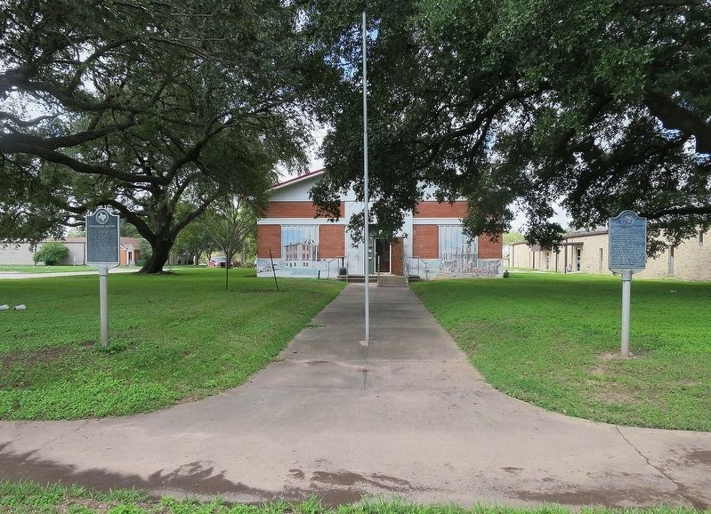
Photographed by Jim Evans
2. Brackenridge Cemetery and The Famous Lavaca-Navidad Meeting of 1835 Markers with Texana Museum
The Texana Museum is in the background in this view.
Credits. This page was last revised on October 21, 2021. It was originally submitted on October 9, 2018, by Jim Evans of Houston, Texas. This page has been viewed 498 times since then and 35 times this year. Photos: 1, 2. submitted on October 9, 2018, by Jim Evans of Houston, Texas. • Bernard Fisher was the editor who published this page.
