Gravois Park in St. Louis, Missouri — The American Midwest (Upper Plains)
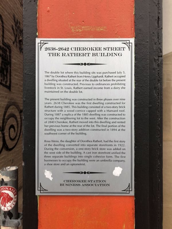
2638-2642 Cherokee Street
The Rathert Building
The double lot where this building sits was purchased July 5, 1867 by Dorothea Rathert from Henry Lipphardt. Rathert occupied a dwelling situated at the rear of the double lot before the present building was constructed. Previous to ordinances prohibiting livestock in St. Louis, Rathert earned income from a dairy she maintained on the double lot.
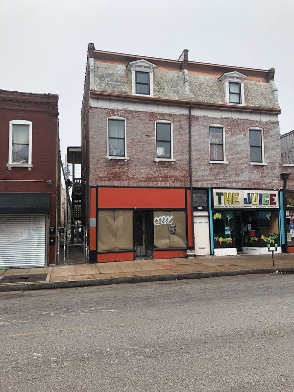
The present building was constructed in three phases over nine years. 2638 Cherokee was the first dwelling constructed for Rathert during 1885. This building consisted of a two-story brick structure with a wood cornice capped with a Mansard roof. During 1887 a replica of the 1885 dwelling was constructed to occupy the neighboring lot to the west. After the construction of 2840 Cherokee, Rathert moved into this dwelling and rented her previous home at the rear of the lot. The final portion of the dwelling was a story two-story addition constructed in 1894 at the southwest corner of the building.
Rosa Weiss, the daughter of Dorothea Rathert, had the first story of the dwelling converted into separate storefronts in 1922. During the conversion, a one-story brick store was added on the west side of the building. A cast iron storefront unified the three separate buildings into single cohesive form. The first business to occupy the building were an umbrella company, a shoe store and an optometrist.
Erected by Cherokee Station Business Association.
Topics and series. This historical marker is listed in these topic lists: Architecture • Industry & Commerce • Women. In addition, it is included in the Missouri, St. Louis, Cherokee Station Business Association series list. A significant historical date for this entry is July 5, 1867.
Location. 38° 35.606′ N, 90° 13.636′ W. Marker is in St. Louis, Missouri. It is in Gravois Park. Marker is on Cherokee Street east of Ohio Avenue, on the right. Touch for map. Marker is at or near this postal address: 2638 Cherokee Street, Saint Louis MO 63118, United States of America. Touch for directions.
Other nearby markers. At least 8 other markers are within walking distance of this marker. 2639-2641 Cherokee Street (a few steps from this marker); 2646 Cherokee Street (within shouting distance of this marker); 2701-2703 Cherokee Street (within shouting distance of this marker); 2621-2623 Cherokee Street (within shouting distance of this marker); 3354 Iowa Avenue (about 500 feet away, measured in a direct line); 2728 Cherokee Street (about 500 feet away); 2730-2734 Cherokee Street (about 500 feet away); If These Walls Could Talk? They Can. (about 600 feet away). Touch for a list and map of all markers in St. Louis.
Credits. This page was last revised on December 17, 2023. It was originally submitted on October 9, 2018, by Devry Becker Jones of Washington, District of Columbia. This page has been viewed 136 times since then and 9 times this year. Photos: 1, 2. submitted on October 9, 2018, by Devry Becker Jones of Washington, District of Columbia. • Andrew Ruppenstein was the editor who published this page.

