
Blackfoot in Bingham County, Idaho — The American West (Mountains)
Central Ferry Station
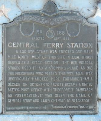
Photographed by Barry Swackhamer, May 13, 2018
1. Central Ferry Station Marker
Erected 1953 by Daughters of Utah Pioneers, Bingham County, Idaho. (Marker Number 188.)
Topics and series. This historical marker is listed in these topic lists: Communications • Roads & Vehicles. In addition, it is included in the Daughters of Utah Pioneers, and the Overland Trail series lists. A significant historical date for this entry is October 10, 1878.
Location. 43° 11.568′ N, 112° 21.36′ W. Marker is in Blackfoot, Idaho, in Bingham County. It is at the intersection of West Bridge Street and South Meridian Street, on the left when traveling west on West Bridge Street. Touch for map. Marker is at or near this postal address: 890 West Bridge Street, Blackfoot ID 83221, United States of America. Touch for directions.

Regionally,
this page online
Other nearby markers. At least 8 other markers are within 13 miles of this marker, measured as the crow flies: Pioneer Canal Builders of Bingham County (approx. 0.6 miles away); Moreland Settlement (approx. 4.7 miles away); Lava Formations (approx. 8.8 miles away); Shoshone and Bannock Tribes (approx. 12.1 miles away); Shoshone-Bannock Tribes: Beyond the Reservation (approx. 12.2 miles away); Newe'm Bo'ai -- "Indian Road" (approx. 12.2 miles away); Fort Hall (approx. 12.4 miles away); Shoshone-Bannock Tribes Memorial Honor Roll (approx. 12.4 miles away). Touch for a list and map of all markers in Blackfoot.
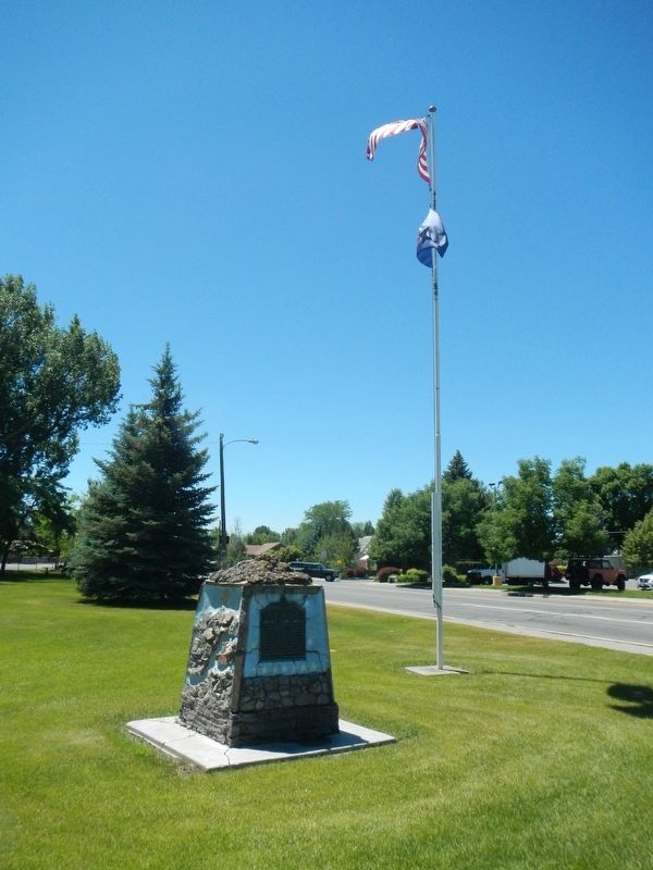
Photographed by Barry Swackhamer, May 13, 2018
2. Central Ferry Station Marker
Credits. This page was last revised on October 9, 2018. It was originally submitted on October 9, 2018, by Barry Swackhamer of Brentwood, California. This page has been viewed 442 times since then and 23 times this year. Photos: 1, 2. submitted on October 9, 2018, by Barry Swackhamer of Brentwood, California.
