Downtown in Sioux Falls in Minnehaha County, South Dakota — The American Midwest (Upper Plains)
Recreation
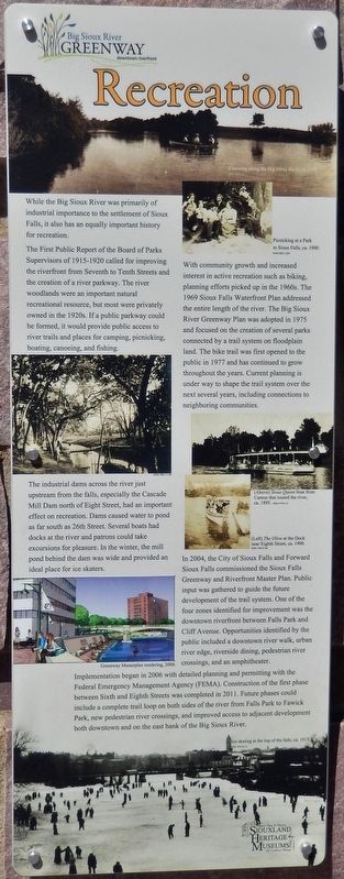
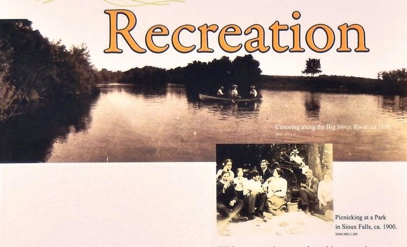
The First Public Report of the Board of Parks Supervisors of 1915-1920 called for improving the riverfront from Seventh to Tenth Streets and the creation of a river parkway. The river woodlands were an important natural recreational resource, but most were privately owned in the 1920s. If a public parkway could be formed, it would provide public access to river trails and places for camping, picnicking, boating, canoeing, and fishing.
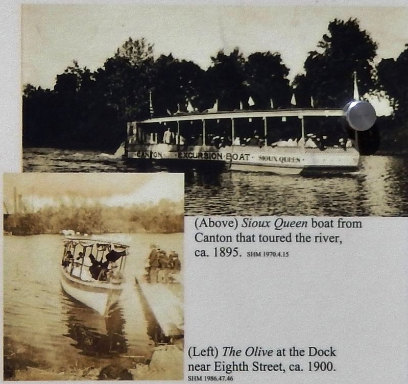
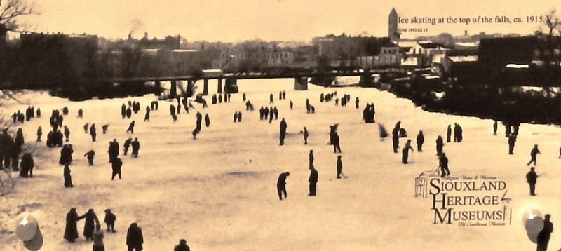
The industrial dams across the river just upstream from the falls, especially the Cascade Mill Dam north of Eight Street, had an important effect on recreation. Dams caused water to pond as far south as 26th Street. Several boats had docks at the river and patrons could take excursions for pleasure. In the winter, the mill pond behind the dam was wide and provided an ideal place for ice skaters.
With community growth and increased interest in active recreation such as biking, planning efforts picked up in the 1960s. The 1969 Sioux Falls Waterfront Plan addressed the entire length of the river. The Big Sioux River Greenway Plan was adopted in 1975 and focused on the creation of several parks connected by a trail system on floodplain land. The bike trail was first opened to the public in 1977 and has continued to grow throughout the years. Current planning is under way to shape the trail system over the next several years, including connections to neighboring communities.
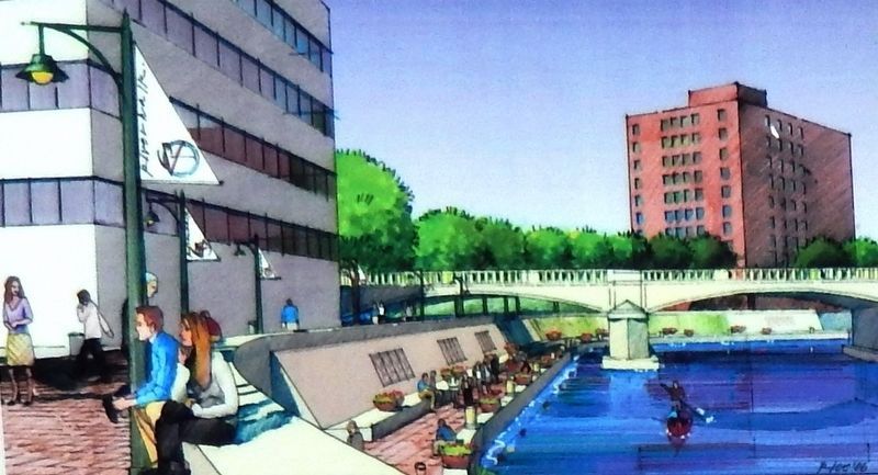
In 2004, the City of Sioux Falls and Forward Sioux Falls commissioned the Sioux Falls Greenway and Riverfront Master Plan. Public input was gathered to guide the future development of the trail system. One of the four zones identified for improvement was the downtown riverfront between Falls Park and Cliff Avenue. Opportunities identified by the public included a downtown river walk, urban river edge, riverside dining, pedestrian river crossings, and an amphitheater.
Implementation began in 2006 with detailed planning and permitting with the Federal Emergency Management Agency (FEMA). Construction of the first phase between Sixth and Eighth Streets was completed in 2011. Future phases could include a complete trail loop on both sides of the river from Falls Park to Fawick Park, new pedestrian river crossings, and improved access to adjacent development both downtown and on the east bank of the Big Sioux River.
Erected by Big Sioux River Recreation Trail and Greenway, and Siouxland Heritage Museums.
Topics. This historical marker is listed in these topic lists: Parks & Recreational Areas • Waterways & Vessels.
Location. 43° 33.01′ N, 96° 43.457′ W. Marker is in Sioux Falls, South Dakota, in Minnehaha County. It is in Downtown. Marker can be reached from North Cherapa Place south of East 6th Street. Marker is located along the Big Sioux River Recreation Trail, overlooking the river. Touch for map. Marker is at or near this postal address: 300 North Cherapa Place, Sioux Falls SD 57104, United States of America. Touch for directions.
Other nearby markers. At least 8 other markers are within walking distance of this marker. Urban Renewal (here, next to this marker); Flooding (here, next to this marker); Early Sioux Falls (here, next to this marker); Quarries (a few steps from this marker); Railroads (within shouting distance of this marker); Industry (within shouting distance of this marker); Manchester Biscuit Company (within shouting distance of this marker); Raven Industries (within shouting distance of this marker). Touch for a list and map of all markers in Sioux Falls.
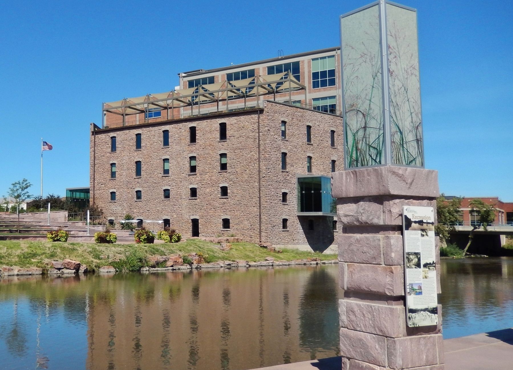
More about this marker. Marker is a large composite plaque, mounted at eye-level on a tall stone pillar.
Credits. This page was last revised on February 16, 2023. It was originally submitted on October 9, 2018, by Cosmos Mariner of Cape Canaveral, Florida. This page has been viewed 141 times since then and 9 times this year. Photos: 1, 2, 3, 4, 5, 6. submitted on October 11, 2018, by Cosmos Mariner of Cape Canaveral, Florida. • Bill Pfingsten was the editor who published this page.
