Fort Pierre in Stanley County, South Dakota — The American Midwest (Upper Plains)
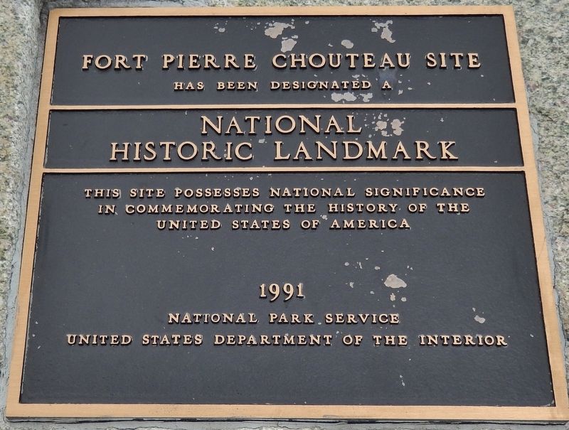
Fort Pierre Chouteau Site
National Historic Landmark
has been designated a
National
Historic Landmark
This site possesses national significance
in commemorating the History of the
United states of America
1991
National Park Service
United States Department of the Interior
Erected 1991 by National Park Service, United States Department of the Interior.
Topics and series. This historical marker is listed in these topic lists: Forts and Castles • Industry & Commerce • Native Americans • Settlements & Settlers. In addition, it is included in the National Historic Landmarks series list.
Location. 44° 23.453′ N, 100° 23.263′ W. Marker is in Fort Pierre, South Dakota, in Stanley County. Marker can be reached from Fort Chouteau Road, 0.3 miles east of State Highway 1806. Marker is located on the grounds of the Fort Pierre Chouteau National Historic Landmark, at the northeast end of the walking trail from Fort Chouteau Road. Touch for map. Marker is at or near this postal address: 350 Fort Chouteau Road, Fort Pierre SD 57532, United States of America. Touch for directions.
Other nearby markers. At least 8 other markers are within walking distance of this marker. Archaeology at Fort Pierre Chouteau (here, next to this marker); Fort Pierre Chouteau: Military Occupancy (1855-1857) (here, next to this marker); Fort Pierre Choteau Trading Post (here, next to this marker); Cultures Come Together (within shouting distance of this marker); Fort Pierre Chouteau: Fur Trade (1832-1855) (about 300 feet away, measured in a direct line); Fur Trade on the Upper Missouri River (about 500 feet away); Rivers and Trails (about 500 feet away); Scotty Philip and his Buffalo Ranch (about 500 feet away). Touch for a list and map of all markers in Fort Pierre.
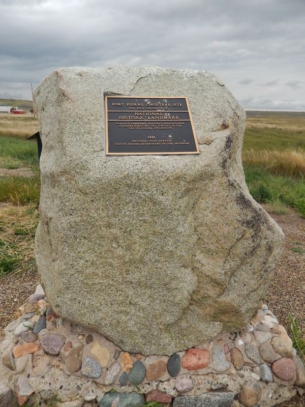
More about this marker. Marker is a large metal plaque, mounted horizontally on a large, upright stone.
Related markers. Click here for a list of markers that are related to this marker. Fort Pierre Chouteau National Historic Landmark

Photographed By Cosmos Mariner, August 19, 2016
2. Fort Pierre Chouteau Site Marker (tall view)
National Park Service website entry:
Click for more information.
Click for more information.
Credits. This page was last revised on March 3, 2022. It was originally submitted on October 6, 2018, by Cosmos Mariner of Cape Canaveral, Florida. This page has been viewed 214 times since then and 22 times this year. Last updated on October 10, 2018, by Cosmos Mariner of Cape Canaveral, Florida. Photos: 1, 2. submitted on October 9, 2018, by Cosmos Mariner of Cape Canaveral, Florida. • Andrew Ruppenstein was the editor who published this page.
