Centro Histórico in Ciudad de México, Mexico — The Valley of Mexico (The Central Highlands)
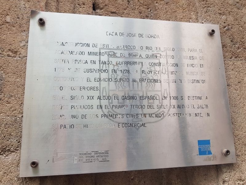
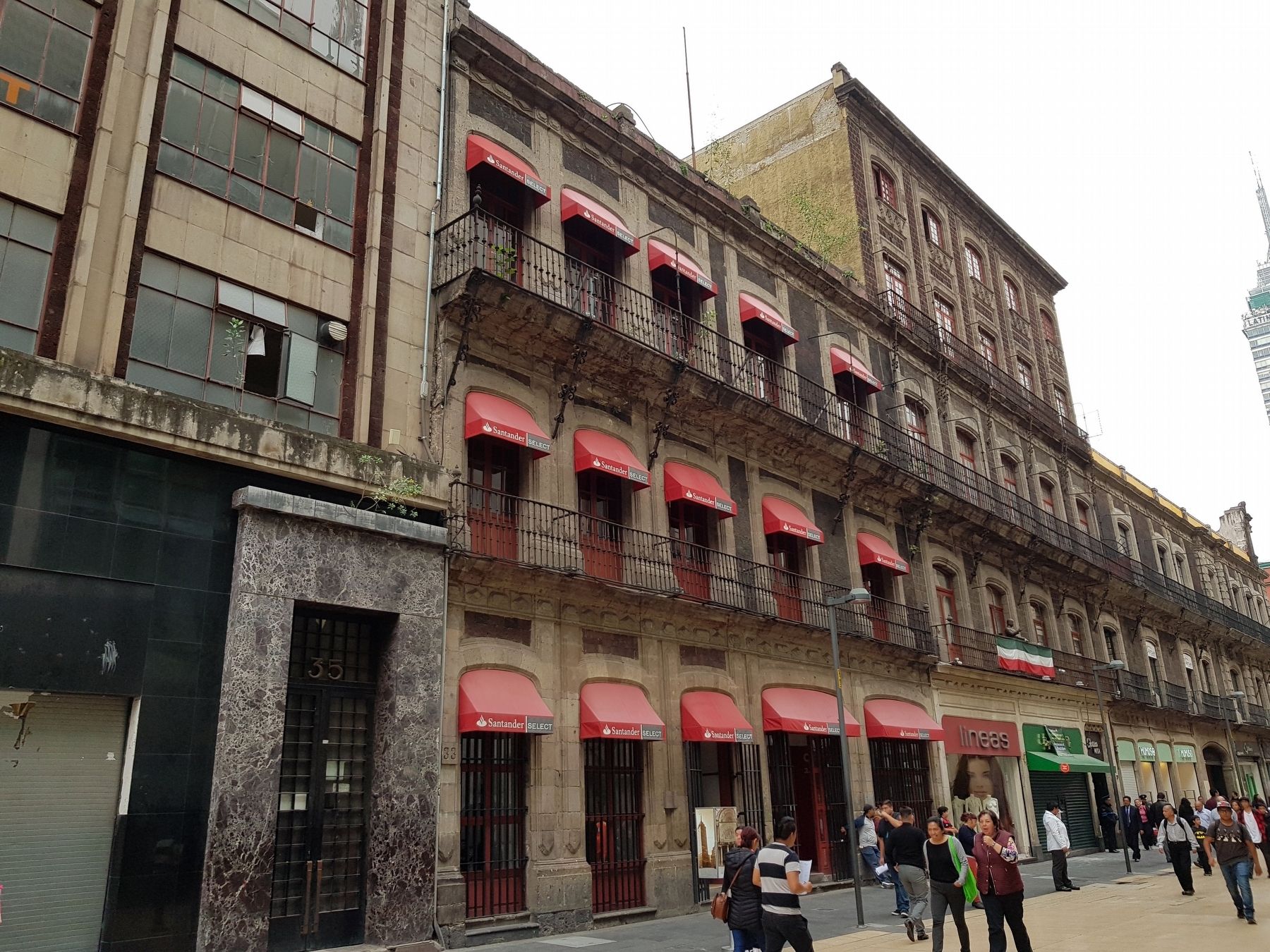
House of José de Borda
Construccion de estilo barroco sobrio del siglo XVIII, para el acaudalado minero Jose de Borda, quien costeo la Iglesia de Santa Prisca in Taxco, Guerrero. La construcción se inició en 1775 y se suspendió en 1778. El proyecto original nunca se concluyó y el edificio sufrió alteraciones según sus distintos usos posteriores.
En el siglo XIX alojó el Casino Español. En 1906 se destinó a baños públicos. En el primer tercio del siglo XX alojó el Salón Rojo, uno de los primeros cines en Mexico. Posteriormente, en su patio se hizo un pasaje comercial.
House of José de Borda
Sober Baroque construction of the 18th century, for the wealthy miner José de Borda, who paid for the Church of Santa Prisca in Taxco, Guerrero. Construction began in 1775 and was suspended in 1778. The original project was never completed and the building suffered alterations according to its subsequent uses.
In the 19th century it housed the Spanish Casino. In 1906 it was destined for public baths. In the first third of the 20th century, it housed the Salón Rojo, one of the first cinemas in Mexico. Subsequently, a commercial area was constructed in the building’s patio.
Erected by Sociedad Defensora del Tesoro Artístico de México, A.C. y American Express.
Topics. This historical marker is listed in these topic lists: Colonial Era • Hispanic Americans • Industry & Commerce. A significant historical year for this entry is 1775.
Location. 19° 26.016′ N, 99° 8.264′ W. Marker is in Ciudad de México. It is in Centro Histórico. Marker is on Avenida Francisco I. Madero just west of Calle Bolivar, on the right when traveling east. Touch for map. Marker is at or near this postal address: Avenida Francisco I Madero 33, Ciudad de México 06000, Mexico. Touch for directions.
Other nearby markers. At least 8 other markers are within walking distance of this marker. High Water Mark of 1629 (within shouting distance of this marker); José de la Borda (within shouting distance of this marker); House of the Marquis de Prado Alegre (within shouting distance of this marker); House of José de la Borda (within shouting distance of this marker); American Photo Supply (about 90 meters away, measured in a direct line); Museum and Cultural Center “El Borceguí” (about 90 meters away); Teatro Santa Anna (about 120 meters away); Temple of the Professed or San José del Real (about 120 meters away). Touch for a list and map of all markers in Ciudad de México.
Credits. This page was last revised on January 4, 2023. It was originally submitted on October 10, 2018, by J. Makali Bruton of Accra, Ghana. This page has been viewed 131 times since then and 12 times this year. Photos: 1, 2. submitted on October 10, 2018, by J. Makali Bruton of Accra, Ghana.

