Near Bancroft in Caribou County, Idaho — The American West (Mountains)
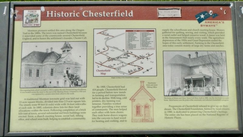
Historic Chesterfield
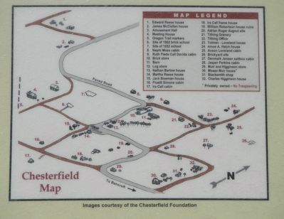
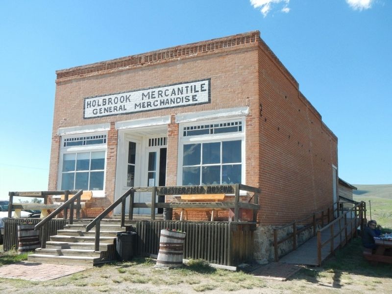
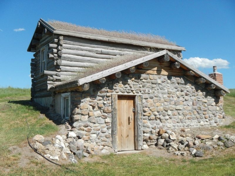
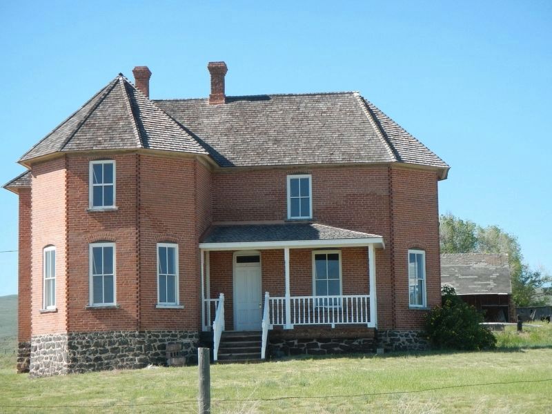
A traditional Mormon townsite grid was laid out with 10-acre square blocks, divided into four 2.5-acre square lots. The streets were 99 feet (6 rods) wide with 16-foot sidewalks at each side. In 1885, colonists drew lots for their land allocations within the town. Following completion of a brick kiln east of town, several substantial red brick buildings were erected. Soon, a church meeting house, social hall, tithing office, and school were built, helping to establish a community.
By 1900, Chesterfield had 418 people. Chesterfield thrived for a period before new trends in farming and transportation led to its decline. With long, cold winters, dry farming was tenuous. Families worked together providing a true sense of community. The men helped each other with farm chores. They took horse-drawn wagons into the canyons to haul wood for heating and cooking, and to supply the schoolhouse and church meeting house. Women gathered for quilting, sewing, and visiting, which provided a social outlet and helped conserve wood. A dance was held in the Amusement Hall nearly every week. The agriculture depression of the 1920s and Great Depression ended the hopes of this early settlement. Farming in Chesterfield area today consists mainly of large dry farms and ranches.
Proponents of Chesterfield refused to give up their dream. The Chesterfield Foundation, formed by local citizens in 1980, is dedicated to preserving Chesterfield's heritage. The entire site has been placed on the National Register of Historic Paces.
Erected by Pioneer Historic Byway.
Topics. This historical marker is listed in these topic lists: Churches & Religion • Roads & Vehicles • Settlements & Settlers.
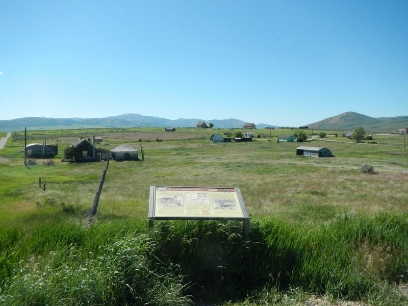
Location. 42° 51.714′ N, 111° 53.892′ W. Marker is near Bancroft, Idaho, in Caribou County. Marker is at the intersection of Chesterfield Road and 24 Mile Road on Chesterfield Road. Touch for map. Marker is at or near this postal address: 1304 Chesterfield Road, Bancroft ID 83217, United States of America. Touch for directions.
Other nearby markers. At least 5 other markers are within 11 miles of this marker, measured as the crow flies. Oregon Trail Campsite (approx. 0.3 miles away); The Meeting House (approx. 0.4 miles away); Settlement Along the Trail (approx. 0.4 miles away); Bancroft's First School (approx. 9.9 miles away); Ivins Pioneer Cemetery (approx. 11 miles away).
Credits. This page was last revised on October 11, 2018. It was originally submitted on October 11, 2018, by Barry Swackhamer of Brentwood, California. This page has been viewed 313 times since then and 20 times this year. Photos: 1, 2, 3, 4, 5, 6. submitted on October 11, 2018, by Barry Swackhamer of Brentwood, California.
