
Ventura in Ventura County, California — The American West (Pacific Coastal)
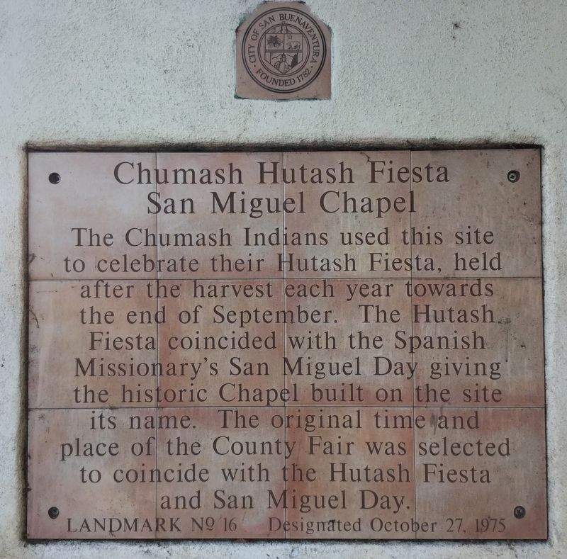
Chumash Hutash Fiesta
San Miguel Chapel
Photographed by Craig Baker, October 7, 2018
1. Chumash Marker
Erected 1975 by City of Ventura. (Marker Number 16.)
Topics and series. This historical marker is listed in these topic lists: Hispanic Americans • Indigenous Peoples and Communities • Religion & Religious Structures. In addition, it is included in the El Camino Real, “The King's Highway” (California) series list.
Location. 34° 16.692′ N, 119° 17.777′ W. Marker is in Ventura, California, in Ventura County. It is at the intersection of Thompson Boulevard and Palm Street, on the right when traveling east on Thompson Boulevard. Touch for map. Marker is in this post office area: Ventura CA 93001, United States of America. Touch for directions.

Regionally, this marker is in Greater
this page online
Other nearby markers. At least 8 other markers are within walking distance of this marker: Jesse Owens (about 500 feet away, measured in a direct line); Elwell House (about 500 feet away); Ada McCoskey Love House (about 600 feet away); Carlo Hahn House (about 700 feet away); San Buenaventura China Alley Memorial (about 800 feet away); Peirano Market (approx. 0.2 miles away); Lavanderia (approx. 0.2 miles away); Dr. Cunane House (approx. 0.2 miles away). Touch for a list and map of all markers in Ventura.
More about this marker. .
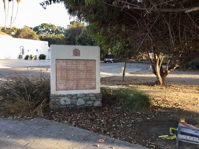
This site is located at the southwest corner of Thompson Blvd and Palm Street. It is protected as a natural open space park by the city parks department.
This site was the location of the first outpost and center of operations while the first Mission
Photographed by Craig Baker, October 7, 2018
2. Chumash Marker
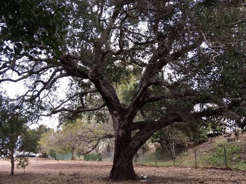
"Coast Live Oak Tree, Historic Landmark Number 96," located at the southwest corner of the site, was designated by City Council resolution in 2006. The tree is estimated to be 200 years old.
This site is on the historic road connecting the California missions, and an El Camino Real Mission Bell Marker has been erected here.
The site was listed on the National Register of Historic Places in 1978.
Photographed by Craig Baker, October 7, 2018
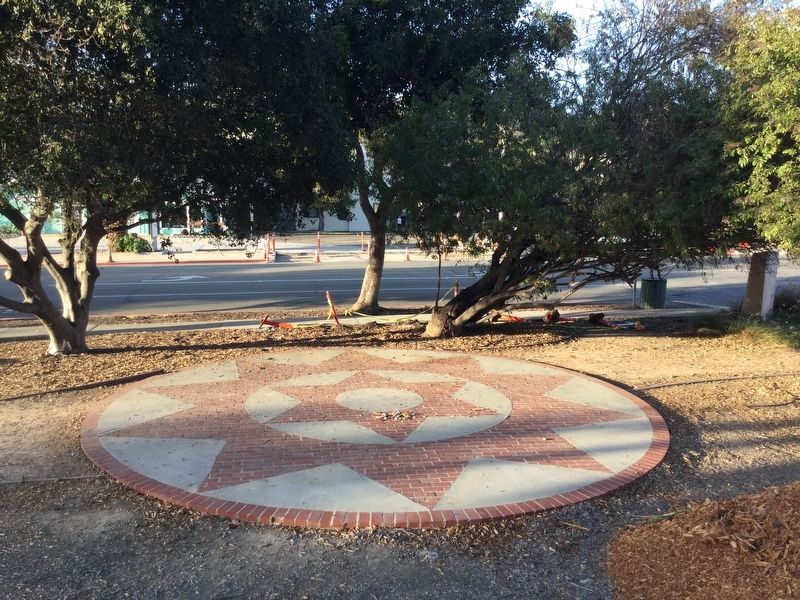
3. Brick Mosaic near the Marker
Photographed by Craig Baker, December 1, 2019
4. 200 Year Old Oak Tree
City Historic Landmark No. 96.

Photographed by Craig Baker, December 1, 2019
5. El Camino Real Marker
Credits. This page was last revised on November 15, 2023. It was originally submitted on October 11, 2018, by Craig Baker of Sylmar, California. This page has been viewed 881 times since then and 28 times this year. Photos: 1, 2, 3. submitted on October 11, 2018, by Craig Baker of Sylmar, California. 4, 5. submitted on December 4, 2019, by Craig Baker of Sylmar, California. • Andrew Ruppenstein was the editor who published this page.
