
Near Cottageville in Jackson County, West Virginia — The American South (Appalachia)
Cottageville
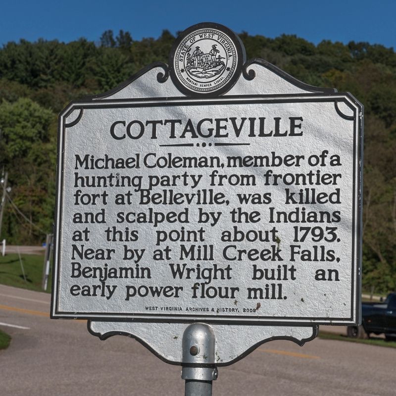
Photographed by J. J. Prats, September 28, 2018
1. Cottageville Marker
Erected 2008 by West Virginia Archives and History.
Topics and series. This historical marker is listed in these topic lists: Indigenous Peoples and Communities • Industry & Commerce • Settlements & Settlers. In addition, it is included in the West Virginia Archives and History series list. A significant historical year for this entry is 1793.
Location. 38° 51.57′ N, 81° 49.203′ W. Marker is near Cottageville, West Virginia, in Jackson County. It is on Country Farm Road (Route 33/18) south of Ripley Road (West Virginia Route 62). It is at the county fairgrounds, just east of Cottageville. Touch for map. Marker is in this post office area: Cottageville WV 25239, United States of America. Touch for directions.

Regionally, this marker is in West Virginia’s Mid-Ohio Valley. It is also in the American South, specifically in the Upper South, in the Ohio River Valley, in Appalachia, and specifically
this page online
Other nearby markers. At least 8 other markers are within 7 miles of this marker, measured as the crow flies: Jackson County / Mason County (approx. 4.1 miles away); Washington’s Land (approx. 5.7 miles away); Brother Harry Ripley (approx. 6.4 miles away); Pfost-Greene Murders / Last Public Execution (approx. 6½ miles away); Civil War Memorial (approx. 6½ miles away); Partisan Raid (approx. 6½ miles away); George Washington Bi-centennial Memorial Tree (approx. 6½ miles away); a different marker also named Ripley (approx. 6½ miles away).
Other markers no longer nearby. Ripley (was approx. 6½ miles away but has been replaced with another marker now near it); a different marker also named Ripley (was approx. 6½ miles away but has been replaced with another marker now near it).
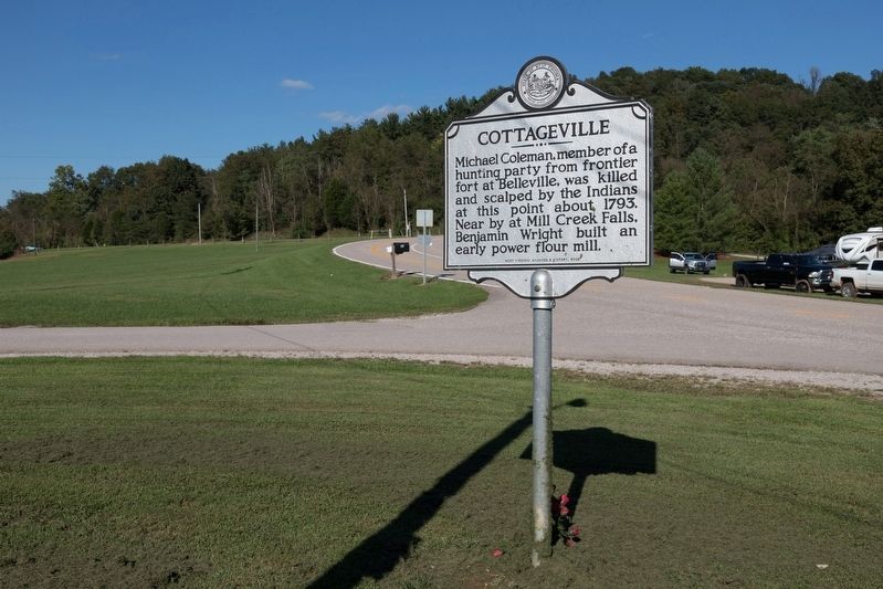
Photographed by J. J. Prats, September 28, 2018
2. Cottageville Marker
Credits. This page was last revised on October 14, 2018. It was originally submitted on October 14, 2018, by J. J. Prats of Powell, Ohio. This page has been viewed 908 times since then and 70 times this year. Photos: 1, 2. submitted on October 14, 2018, by J. J. Prats of Powell, Ohio.
