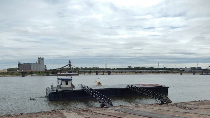
Downtown in St. Louis, Missouri — The American Midwest (Upper Plains)
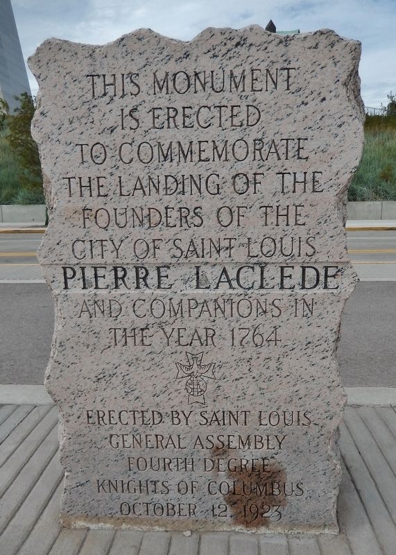
Pierre Laclede
is erected
to commemorate
the landing of the
founders of the
City of Saint Louis
Pierre Laclede
and companions in
the year 1764
Erected 1923 by Saint Louis General Assembly Fourth Degree Knights of Columbus.
Topics. This historical marker is listed in these topic lists: Colonial Era • Exploration • Settlements & Settlers. A significant historical year for this entry is 1764.
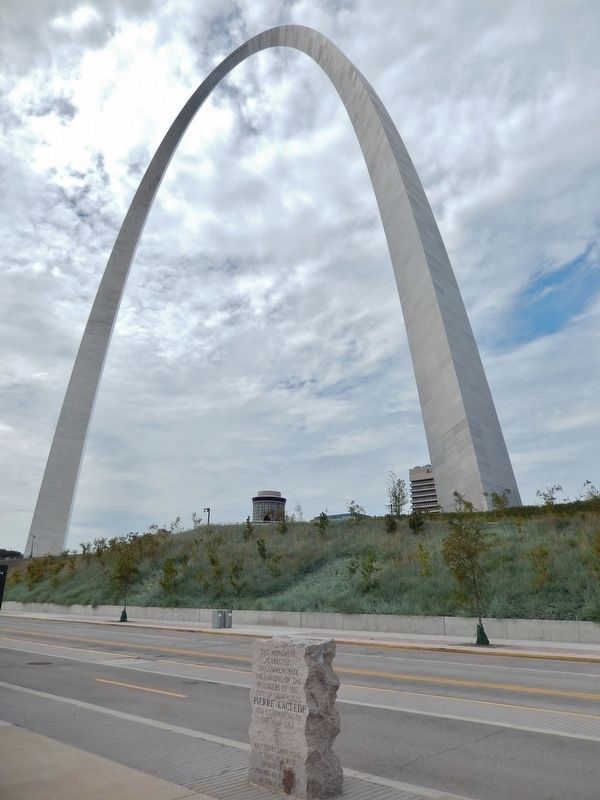
Location. 38° 37.529′ N, 90° 10.999′ W. Marker is in St. Louis, Missouri. It is in Downtown. Marker is on North Leonor K Sullivan Boulevard, 0.4 miles south of Laclede's Landing Boulevard, on the left when traveling south. Marker is located on the Mississippi River Walk Path, beside the river, west of the Gateway Arch. Touch for map. Marker is at or near this postal address: 50 North Leonor K Sullivan Boulevard, Saint Louis MO 63102, United States of America. Touch for directions.
Other nearby markers. At least 8 other markers are within walking distance of this marker. Miles of Steamboats (within shouting distance of this marker); August 1, 1993 (about 300 feet away, measured in a direct line); Rock Solid (about 300 feet away); The Gateway Arch (about 400 feet away); The Captains' Return (about 400 feet away); Curves Ahead (about 600 feet away); Speedy Delivery (about 600 feet away); In Memory of Robert E. Lee (about 600 feet away). Touch for a list and map of all markers in St. Louis.
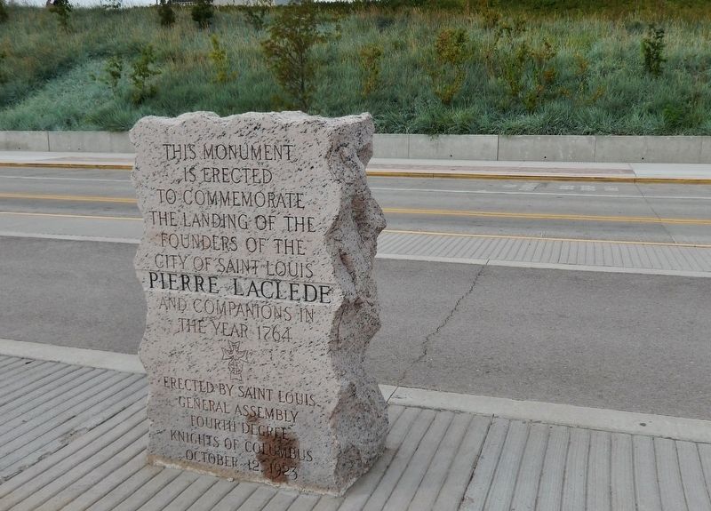
More about this marker. Marker is a large, tall, rough-cut, pink granite slab, polished and engraved on its east side, facing the Mississippi River.
Also see . . .
1. Founding of St. Louis (1763-1764). Lacledes Landing website entry:
The quest for founding the city of St. Louis began in 1763, when a French merchant named Pierre Laclede Liguest, who had a monopoly to all trade along the Missouri River, left New Orleans in search of a place to found a trading post. Laclede set out with Auguste Chouteau, his 14-year-old lieutenant, in pursuit of a site. Below the confluence of the Missouri and Mississippi rivers, they came upon a bluff that rose almost 40 feet above the water. When Laclede and Chouteau scrambled up the bluff to survey the area, they saw a forest of huge trees. To the west was a large prairie with many small streams, and the southern view provided more streams and bluffs. Laclede decided to establish his post here and put notches in a handful of trees before heading back to the winter camp. (Submitted on August 28, 2018, by Cosmos Mariner of Cape Canaveral, Florida.)
2. Pierre Laclède (1729-1778). Find A Grave website entry:
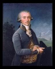
Businessman and Co-founder of the Present-Day City of Saint Louis, Missouri. He was born in Bedous, Bearn, France and traveled to the French Louisiana Territory in 1755, where he started a commercial establishment in New Orleans. In 1763 he was sponsored by New Orleans merchant Gilbert Antoine Maxent to construct a trading post near the confluence of the Missouri and Mississippi Rivers. (Submitted on August 28, 2018, by Cosmos Mariner of Cape Canaveral, Florida.)
3. Pierre Laclède. Wikipedia entry:
Legend has it that St. Louis was founded on Saint Valentine's Day of 1764. The St. Louis downtown riverfront area is named Laclede's Landing in his honor. He is also the namesake of Laclede County, Missouri, Laclede, Missouri, the Pierre Laclede Honors College at the University of Missouri–St. Louis, and the Pierre Laclede Elementary School in St. Louis. Laclede is also recognized with a star on the St. Louis Walk of Fame. (Submitted on August 28, 2018, by Cosmos Mariner of Cape Canaveral, Florida.)
Credits. This page was last revised on January 30, 2023. It was originally submitted on August 26, 2018, by Cosmos Mariner of Cape Canaveral, Florida. This page has been viewed 498 times since then and 39 times this year. Last updated on October 15, 2018, by Devry Becker Jones of Washington, District of Columbia. Photos: 1. submitted on August 28, 2018, by Cosmos Mariner of Cape Canaveral, Florida. 2. submitted on June 13, 2022, by Larry Gertner of New York, New York. 3, 4, 5. submitted on August 28, 2018, by Cosmos Mariner of Cape Canaveral, Florida. • Andrew Ruppenstein was the editor who published this page.
