Near Affton in St. Louis County, Missouri — The American Midwest (Upper Plains)
A Community within a Community / ~150 Years AgoŚContraband
(left panel)
A Community within a Community
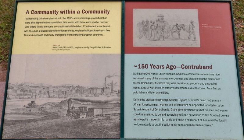
Surrounding this slave plantation in the 1850s were other large properties that were also dependent on slave labor. Interwoven with these were smaller tracts of land where family members accomplished all the labor. 12 miles to the north-east was St. Louis, a diverse city with white residents, enslaved African-Americans, free African-Americans and many immigrants from primarily European countries.
(right panel)
~150 Years Ago—Contraband
During the Civil War as Union troops moved into communities where slave labor was used, many of the enslaved men, women and children fled the plantations for the Union lines. As slaves they were considered property and thus called contraband of war. The men often volunteered to assist the Union Army first as paid labor and later as soldiers.
During the Vicksburg campaign General Ulysses S. Grant's camp had so many African American men, women and children that he appointed John Eaton to be Superintendent of Contrabands. Grant gave directions to what the men and women could be assigned to do and according to Eaton he went on to say, "it would be very easy to put a musket in his hands and make a soldier out of him and if he fought well, eventually to put the ballot in his hand and make him a citizen."
Topics. This historical marker is listed in these topic lists: African Americans • War, US Civil.
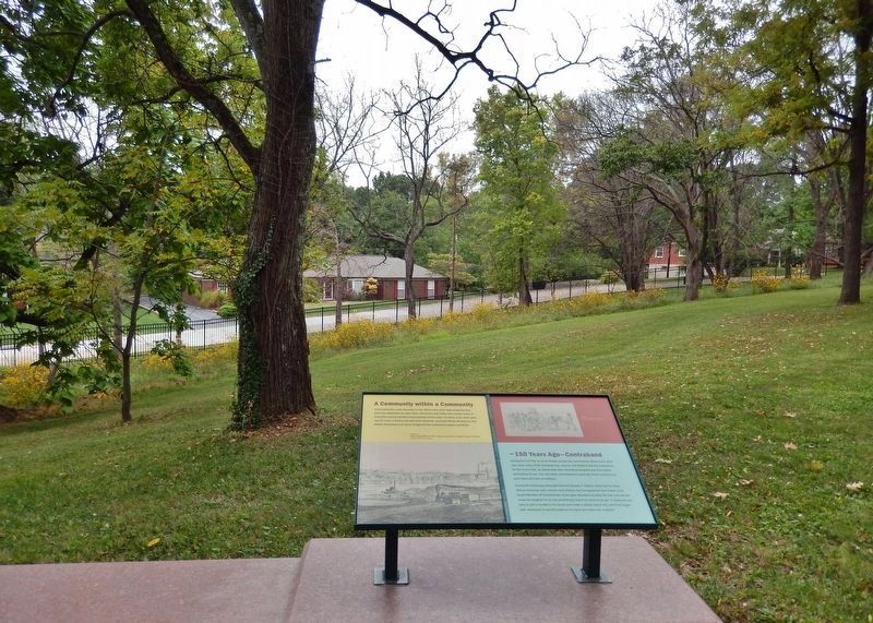
Location. 38° 33.146′ N, 90° 21.101′ W. Marker is near Affton, Missouri, in St. Louis County. Marker can be reached from Grant Road, 0.4 miles north of Gravois Road (State Highway 30), on the right when traveling north. Marker is located on the grounds of the Ulysses S. Grant National Historic Site, just outside the white fence, near the northwest corner of the property. Touch for map. Marker is at or near this postal address: 7400 Grant Road, Saint Louis MO 63123, United States of America. Touch for directions.
Other nearby markers. At least 8 other markers are within walking distance of this marker. Outbuildings / ~150 Years AgoŚColored Troops (within shouting distance of this marker); Green Haven? (within shouting distance of this marker); White Haven's Outbuildings (within shouting distance of this marker); Early Owners of the Farm (within shouting distance of this marker); New Buildings for White Haven (within shouting distance of this marker); Slaves Only (within shouting distance of this marker); The Roads to White Haven (within shouting distance of this marker); The White Haven Estate: Other Houses (within shouting distance of this marker). Touch for a list and map of all markers in Affton.
Also see . . .
Ulysses S Grant Mational Historic Site. National Park Service (Submitted on August 27, 2018.)
Credits. This page was last revised on March 25, 2023. It was originally submitted on August 24, 2018, by Cosmos Mariner of Cape Canaveral, Florida. This page has been viewed 181 times since then and 10 times this year. Last updated on October 15, 2018, by Devry Becker Jones of Washington, District of Columbia. Photos: 1, 2. submitted on August 26, 2018, by Cosmos Mariner of Cape Canaveral, Florida. • Andrew Ruppenstein was the editor who published this page.

