Millersburg in Dauphin County, Pennsylvania — The American Northeast (Mid-Atlantic)
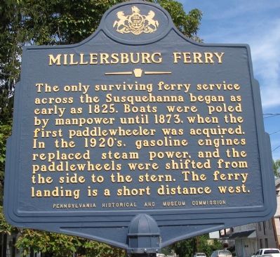
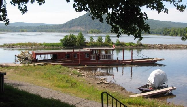
Millersburg Ferry
Erected 1972 by Pennsylvania Historical and Museum Commission.
Topics and series. This historical marker is listed in these topic lists: Roads & Vehicles • Waterways & Vessels. In addition, it is included in the Pennsylvania Historical and Museum Commission series list. A significant historical year for this entry is 1825.
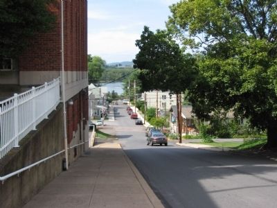
Location. 40° 32.47′ N, 76° 57.72′ W. Marker is in Millersburg, Pennsylvania, in Dauphin County. Marker is at the intersection of Market Street (State Highway 147) and North Street, on the right when traveling south on Market Street. Touch for map. Marker is in this post office area: Millersburg PA 17061, United States of America. Touch for directions.
Other nearby markers. At least 8 other markers are within 3 miles of this marker, measured as the crow flies. Millersburg Ferry: A Journey Through Time (about 800 feet away, measured in a direct line); The Music Pavilion / Gazebo (approx. 0.2 miles away); Civil War Soldiers Monument (approx. 0.2 miles away); Daniel Miller Memorial Fountain (approx. 0.2 miles away); Millersburg Hotel (approx. 0.2 miles away); World War II Memorial (approx. ¼ mile away); a different marker also named Millersburg Ferry (approx. 1.4 miles away); Liverpool (approx. 2.3 miles away). Touch for a list and map of all markers in Millersburg.
Also see . . . History of the Millersburg Ferry. A short history of the ferry. (Submitted on October 14, 2008, by Craig Swain of Leesburg, Virginia.)
Credits. This page was last revised on October 14, 2019. It was originally submitted on October 14, 2008, by Craig Swain of Leesburg, Virginia. This page has been viewed 1,140 times since then and 10 times this year. Photos: 1, 2, 3, 4, 5. submitted on October 14, 2008, by Craig Swain of Leesburg, Virginia.


