Custer in Custer County, South Dakota — The American Midwest (Upper Plains)
Comanche Park
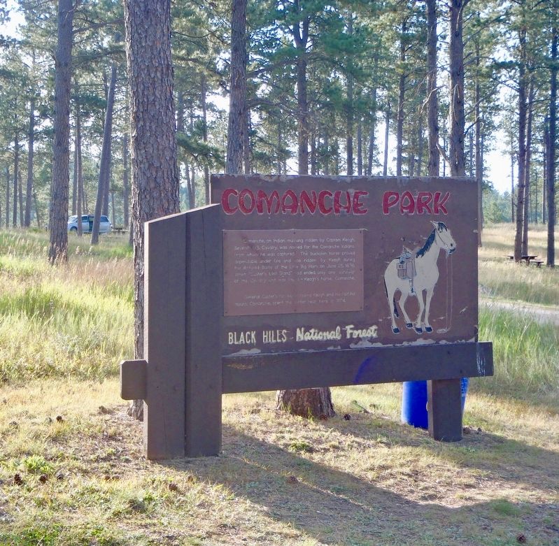
Photographed by Alan M. Perrie, September 3, 2018
1. Comanche Park Marker
General Custer’s forces, including Keogh and his faithful mount, Comanche, spent the winter near here in 1874.
Topics. This historical marker is listed in these topic lists: Animals • Wars, US Indian. A significant historical date for this entry is June 25, 1876.
Location. 43° 43.968′ N, 103° 42.817′ W. Marker is in Custer, South Dakota, in Custer County. It can be reached from Mount Rushmore Road (U.S. 16). This marker is near campsite #21 in Comanche Park Campground off US 16 in Custer, South Dakota. Touch for map. Marker is in this post office area: Custer SD 57730, United States of America. Touch for directions.

Regionally, this marker is in West River and in Greater Rapid City. It is also in the American Black Hills, in
this page online
Other nearby markers. At least 8 other markers are within 6 miles of this marker, measured as the crow flies: Civilian Conservation Corps Camp (approx. 1.6 miles away); Jasper vs. Jewel (approx. 5.8 miles away); Prescribed Fire (approx. 5.8 miles away); Horace N. Ross (approx. 6.1 miles away); Custer County Courthouse (approx. 6.1 miles away); Dedicated to All Veterans (approx. 6.1 miles away); Way Park (approx. 6.1 miles away); Landscapes & Logging (approx. 6.1 miles away). Touch for a list and map of all markers in Custer.
Also see . . .
1. Comanche. (Submitted on October 18, 2018, by Alan M. Perrie of Unionville, Connecticut.)
2. Captain Myles Keogh. (Submitted on October 18, 2018, by Alan M. Perrie of Unionville, Connecticut.)
3. Comanche Park Campground. (Submitted on October 18, 2018, by Alan M. Perrie of Unionville, Connecticut.)
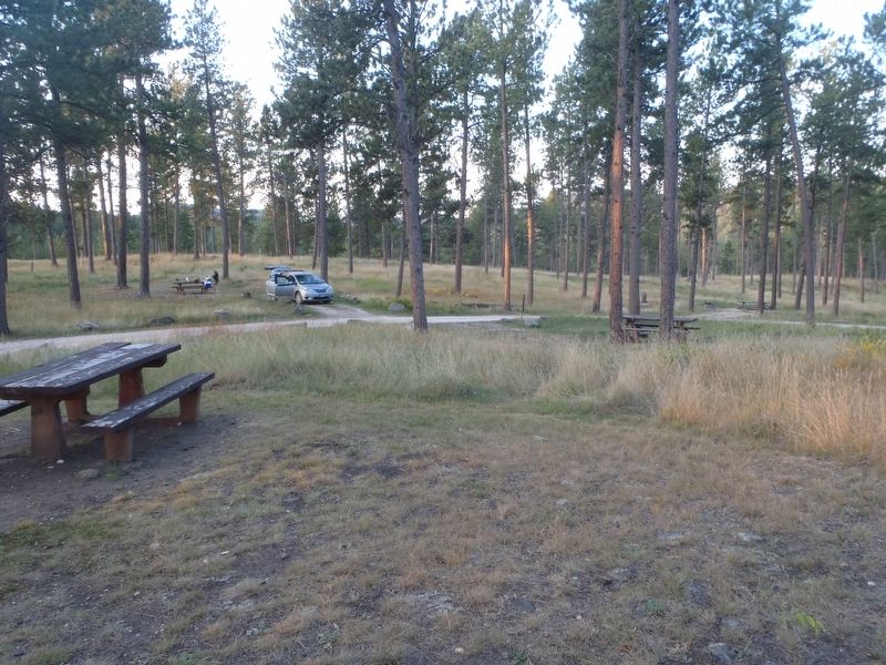
Photographed by Alan M. Perrie, September 3, 2018
2. Comanche Park Campground in Black Hills National Forest.
Credits. This page was last revised on June 17, 2025. It was originally submitted on October 18, 2018, by Alan M. Perrie of Unionville, Connecticut. This page has been viewed 453 times since then and 27 times this year. Photos: 1, 2. submitted on October 18, 2018, by Alan M. Perrie of Unionville, Connecticut. • Andrew Ruppenstein was the editor who published this page.
