
Building A Community
⎯⎯⎯
Tout à bâtir
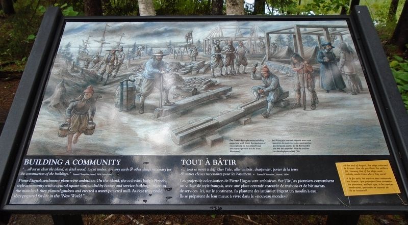

"...all set to clear the island, to fetch wood, to cut timber, to carry earth & other things necessary for the construction of the buildings."
Samuel Champlain Journal, 1604 (translation)
Pierre Dugua's settlement plans were ambitious. On the island, the colonists built a French-style community with a central square surrounded by houses and service buildings. Here on the mainland, they planted gardens and erected a water-powered mill. As best they could, they prepared for life in the "New World."
At the end of August, the ships returned to France. How do you think the settlers felt, knowing that if the ships sunk, nobody would know where they were?
The French brought many building materials with them. Archeological excavations on the island have uncovered yellow bricks from Normandy.
Les projets de colonisation de Pierre Dugua sont ambitieux. Sur l'île, les
this page online
À la fin août, les navires sont retournés en France. Que pouvaient bien ressentir les pionniers, sachant que, si les navires sombraient, personne ne saurait où ils se trouvent?
[La légende de l'illustration se lit]
Les Français avaient apporté avec eux quantité de matériaux de construction. Des briques jaunes de la Normandie ont été découvertes lors de fouilles archéolgiques dans l'île.
Erected by National Park Service.
Topics. This historical marker is listed in these topic lists: Colonial Era • Settlements & Settlers. A significant historical year for this entry is 1604.
Location. 45° 7.438′ N, 67° 8.79′ W. Marker is near Calais, Maine, in Washington County. It can be reached from Saint Croix Drive. Marker is on the grounds of Saint Croix Island International Historic Site, along the interpretive trail. Touch for map. Marker is at or near this postal address: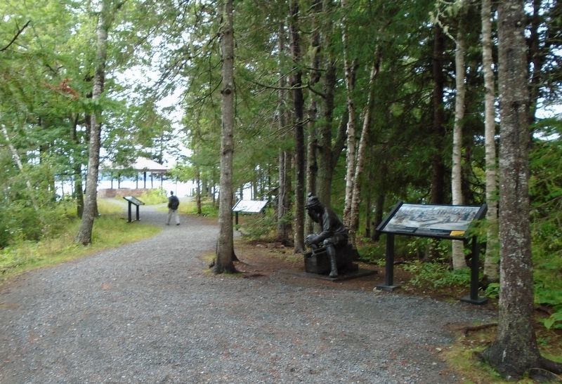

Regionally, this marker is in Downeast Maine. It is also in the American Northeast, in New England, and on the Eastern Seaboard. Globally, it is in the North Atlantic Region, North America, the Great North Woods, the Western Hemisphere, the Western World, and the Anglosphere. Historically, it finds itself in what was once the Viceroyalty of New France and also Acadia.
Other nearby markers. At least 8 other markers are within walking distance of this marker: Strangers Offshore / Étrangers du grand large (a few steps from this marker); Settling on Saint Croix Island / Colonisation de l'île Sainte-Croix (a few steps from this marker); Exploring the Coast / Exploration de la côte (within shouting distance of this marker); Welcome to Saint Croix Island International Historic Site / An Enduring Legacy (within shouting distance of this marker); Trapped For The Winter / Prisonniers de l'hiver (within shouting distance of this marker); Lessons Learned / Leçons durement apprises (within shouting distance of this marker); Saint Croix Island (within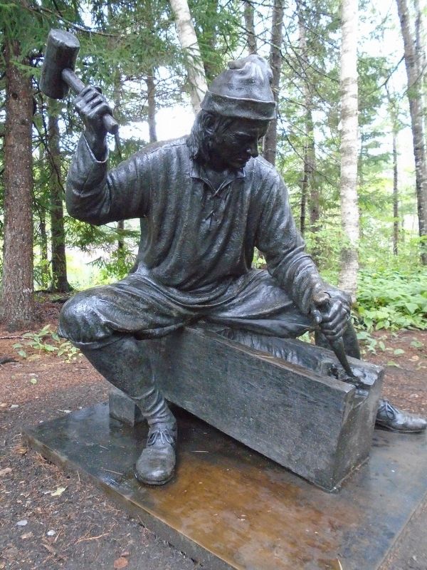
Related markers. Click here for a list of markers that are related to this marker. Saint Croix Island International Historic Site / Île Sainte-Croix Lieu historique international
Also see . . .
1. Saint Croix Island International Historic Site. National Park Service website entry (Submitted on October 20, 2018, by William Fischer, Jr. of Reynoldsburg, Ohio.)
2. Saint Croix Island International Historic Site Audio Files for Interpretive Trail. National Park Service website entry (Submitted on October 20, 2018, by William Fischer, Jr. of Reynoldsburg, Ohio.)
Credits. This page was last revised on April 25, 2024. It was originally submitted on October 20, 2018, by William Fischer, Jr. of Reynoldsburg, Ohio. This page has been viewed 317 times since then and 19 times this year. Photos: 1, 2, 3. submitted on October 20, 2018, by William Fischer, Jr. of Reynoldsburg, Ohio.
