Near Sterling City in Sterling County, Texas — The American South (West South Central)
Camp Elizabeth
Site of
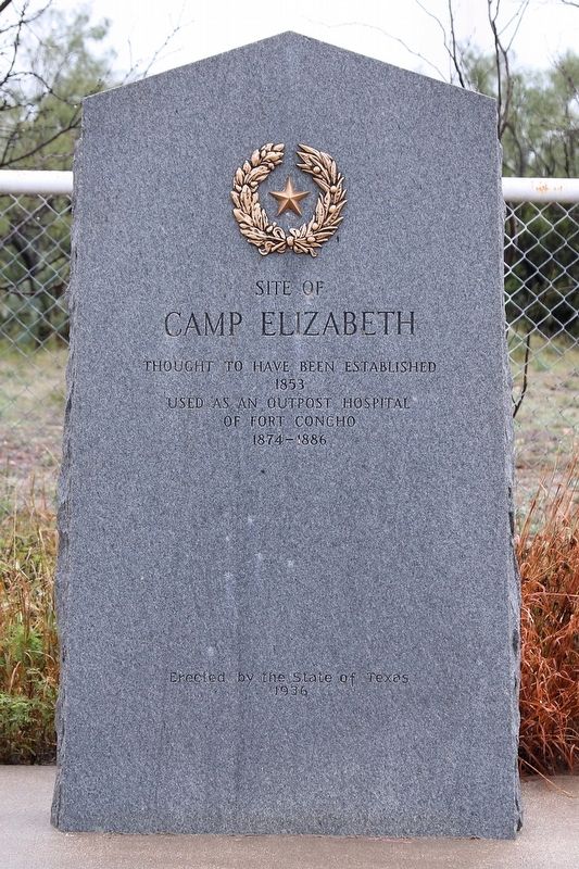
Photographed by Larry D. Moore, October 19, 2018
1. Camp Elizabeth Marker
1853
Used as an outpost hospital
of Fort Concho
1874 - 1886
Erected 1936 by State of Texas. (Marker Number 661.)
Topics and series. This historical marker is listed in these topic lists: Forts and Castles • Science & Medicine. In addition, it is included in the Texas 1936 Centennial Markers and Monuments series list. A significant historical year for this entry is 1853.
Location. 31° 54.295′ N, 101° 7.272′ W. Marker is near Sterling City, Texas, in Sterling County. It is on U.S. 87 0.4 miles south of County Road 201-P, on the right when traveling north. Touch for map. Marker is in this post office area: Sterling City TX 76951, United States of America. Touch for directions.

Regionally, this marker is in Big Country. Globally, it is in North America, a Gulf of Mexico state, the Western Hemisphere, the Western World, and the Anglosphere. Historically, it finds itself in what was once New Spain, the Comanchería, the Republic of Texas, and one of the Confederate States of America.
Other nearby markers. At least 8 other markers are within 12 miles of this marker, measured as the crow flies: Town of Cummins (approx. 7½ miles away); State Hotel – First State Bank (approx. 9.1 miles away); Concho, San Saba & Llano Valley Railroad Station (approx. 9.1 miles away); Sterling County Jail (approx. 9.2 miles away); Sterling County (approx. 9.2 miles away); Foster Cemetery (approx. 10.7 miles away); Robert West Foster (approx. 11.6 miles away); William Lenard Foster (approx. 11.6 miles away). Touch for a list and map of all markers in Sterling City.
this page online
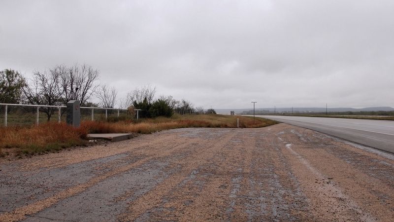
Photographed by Larry D. Moore, October 19, 2018
2. Camp Elizabeth Marker Area
Credits. This page was last revised on October 21, 2018. It was originally submitted on October 21, 2018, by Larry D. Moore of Del Valle, Texas. This page has been viewed 2,710 times since then and 241 times this year. Photos: 1, 2. submitted on October 21, 2018, by Larry D. Moore of Del Valle, Texas. • Andrew Ruppenstein was the editor who published this page.
