DeRidder in Beauregard Parish, Louisiana — The American South (West South Central)
Grabow Riot
Photographed by Cajun Scrambler, October 12, 2018
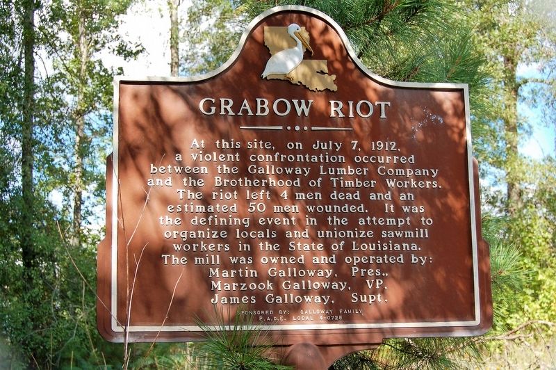
1. Grabow Riot Marker
At this site, on July 7, 1912, a violent confrontation occurred between the Galloway Lumber Company and the Brotherhood of Timber Workers. The riot left 4 men dead and an estimated 50 men wounded. It was the defining event in the attempt to organize locals and unionize sawmill workers in the State of Louisiana.
The mill was owned and operated by:
Martin Galloway, Pres.,
Marzook Galloway, VP,
James Galloway, Supt.
Erected by Galloway Family, P.A.C.E. Local 4-0725.
Topics. This historical marker is listed in these topic lists: Industry & Commerce • Labor Unions. A significant historical date for this entry is July 7, 1912.
Location. 30° 49.021′ N, 93° 20.396′ W. Marker is in DeRidder, Louisiana, in Beauregard Parish. It is on Grabow Road 0.7 miles west of State Road 3099, on the right when traveling west. Touch for map. Marker is in this post office area: Deridder LA 70634, United States of America. Touch for directions.

Regionally, this marker is in Louisiana’s Acadiana — Cajun Country. It is also in the American South, specifically in the Deep South, and in the Piney Woods. Globally, it is in North America,
this page online
Other nearby markers. At least 8 other markers are within 11 miles of this marker, measured as the crow flies: Shootout At Grabow (approx. 1.3 miles away); World War II DeRidder Army Air Base Memorial (approx. 1.8 miles away); Beauregard Parish Gothic Jail (approx. 3.7 miles away); DeRidder - The Sawmill Hub (approx. 3.7 miles away); Sam Houston Jones (approx. 3.8 miles away); Rosepine, Louisiana (approx. 7.8 miles away); Shady Grove School/Community Building (approx. 9.8 miles away); Atákapa Trace Junction (approx. 10.2 miles away). Touch for a list and map of all markers in DeRidder.
Another marker is no longer nearby. The Old Confederate Military Road (was approx. 9.3 miles away but has been confirmed missing).
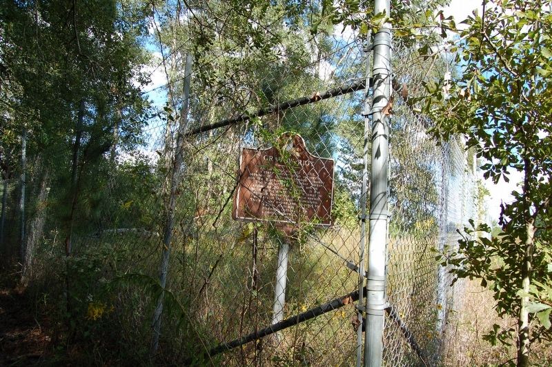
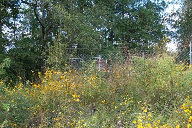
More about this marker. Located inside the fence of the DeRidder Regional Airport property
Photographed by Cajun Scrambler, October 12, 2018
2. Grabow Riot Marker
Photographed by Cajun Scrambler, October 12, 2018
3. Grabow Riot Marker
Credits. This page was last revised on July 23, 2023. It was originally submitted on October 21, 2018, by Cajun Scrambler of Assumption, Louisiana. This page has been viewed 1,147 times since then and 155 times this year. Photos: 1, 2, 3. submitted on October 21, 2018.
