Golden in Jefferson County, Colorado — The American Mountains (Southwest)
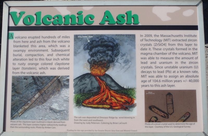
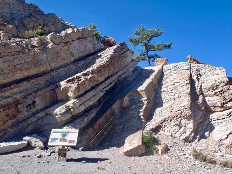
Volcanic Ash
In 2009, the Massachusetts Institute of Technology (MIT) extracted zircon crystals [ZrSiO4] from this layer to date it. These crystals formed in the magma chamber of the volcano. MIT was able to measure the amount of lead and uranium in the zircon crystals. Since unstable uranium (U) decays to lead (Pb) at a known rate, MIT was able to assign an absolute age of 104.6 million years +/- 40,000 years to this ash layer.
Topics. This historical marker is listed in this topic list: Natural Features.
Location. 39° 40.661′ N, 105° 11.658′ W. Marker is in Golden, Colorado, in Jefferson County. The marker is on the Dinosaur Ridge Trail which is a 1.1 mile wide paved section of West Alameda Parkway that is closed to traffic. This marker is found 375 yards southeast of the parking area located at the junction of 93 (Hog Back Road) & West Alameda Parkway. Touch for map. Marker is in this post office area: Golden CO 80401, United States of America. Touch for directions.
Other nearby markers. At least 8 other markers are within walking distance of this marker. The Rocky Mountains (within shouting distance of this marker); Brontosaur Bulges (about 300 feet away, measured in a direct line); Rock Deformation (about 300 feet away); Morrison Fossil Area (about 400 feet away); Late Jurassic Time (about 400 feet away); Theropod Track (about 500 feet away); Cretaceous Time (about 600 feet away); West Alameda Parkway / Dinosaur Ridge (approx. 0.2 miles away). Touch for a list and map of all markers in Golden.
Also see . . .
1. Tonstein. (Submitted on October 23, 2018, by Alan M. Perrie of Unionville, Connecticut.)
2. Zircon. (Submitted on October 23, 2018, by Alan M. Perrie of Unionville, Connecticut.)
Credits. This page was last revised on October 23, 2018. It was originally submitted on October 23, 2018, by Alan M. Perrie of Unionville, Connecticut. This page has been viewed 322 times since then and 20 times this year. Photos: 1, 2. submitted on October 23, 2018, by Alan M. Perrie of Unionville, Connecticut. • Andrew Ruppenstein was the editor who published this page.

