Near Waubay in Day County, South Dakota — The American Midwest (Upper Plains)
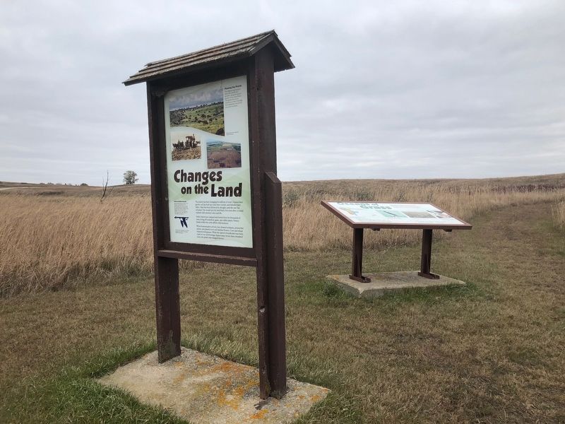
Changes on the Land
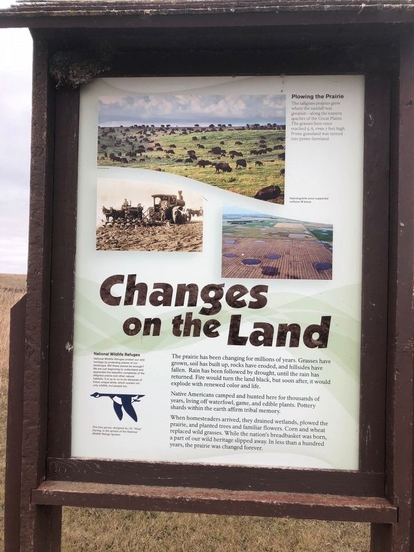
The prairie has been changing for millions of years. Grasses have grown, soil has built up, rocks have eroded, and hillsides have fallen. Rain has been followed by drought, until the rain has returned. Fire would turn the land black, but soon after, it would explode with renewed color and life.
Native Americans camped and hunted here for thousands of years, living off waterfowl, game, and edible plants. Pottery shards within the earth affirm tribal memory.
When homesteaders arrived, they drained wetlands, plowed the prairie, and planted trees and familiar flowers. Corn and wheat replaced wild grasses. While the nation's breadbasket was born, a part of our wild heritage slipped away. In less than a hundred years, the prairie was changed forever.
Plowing the Prairie
The tallgrass prairies grew where the rainfall was greatest-along the eastern reaches of the Great Plains. The grasses here once reached 5, 6, even 7 feet high. Prime grassland was turned into prime farmland.
National Wildlife Refuges
National Wildlife Refuges protect our wild heritage by protecting pieces of our landscape. Will these pieces be enough? We are just beginning to understand and appreciate the beautiful complexity of the tall grass prairie and other natural habitats. It is up to us to be stewards of these unique lands, which sustain not only wildlife, but people too.
Picture Captions
This blue goose, designed by J.N. "Ding" Darling is the symbol of the National Wildlife Refuge system.
Native prairie once supported millions of bison.
Erected by U.S. Fish & Wildlife Service.
Topics. This historical marker is listed in these topic lists: Environment • Horticulture & Forestry • Native Americans • Settlements & Settlers.
Location. 45° 25.862′ N, 97° 18.937′ W. Marker is near Waubay, South Dakota, in Day County. Marker is on Waubay Refuge Entrance Road. The marker is one mile over the causeway from the park entrance off 466th ave. Touch for map. Marker is in this post office area: Waubay SD 57273, United States of America. Touch for directions.
Other nearby markers. At least 8 other markers are within 8 miles of this marker, measured as the crow flies. Waubay Wetland Management District (approx. 0.4 miles away); Waubay National Wildlife Refuge (approx. 0.4 miles away); a different marker also named Waubay National Wildlife Refuge (approx. 0.7 miles away); Saving Men and Beasts (approx. ¾ mile away); Potholes and Prairie (approx. ¾ mile away); A Room with a View (approx. ¾ mile away); Chief Bluedog (approx. 1½ miles away); Roberts County / Day County South Dakota (approx. 8 miles away). Touch for a list and map of all markers in Waubay.
Credits. This page was last revised on November 1, 2018. It was originally submitted on October 23, 2018, by Ruth VanSteenwyk of Aberdeen, South Dakota. This page has been viewed 86 times since then and 10 times this year. Photos: 1, 2, 3. submitted on October 23, 2018, by Ruth VanSteenwyk of Aberdeen, South Dakota. • Andrew Ruppenstein was the editor who published this page.


