Bradenton in Manatee County, Florida — The American South (South Atlantic)
DeSoto Trail
De Soto National Memorial
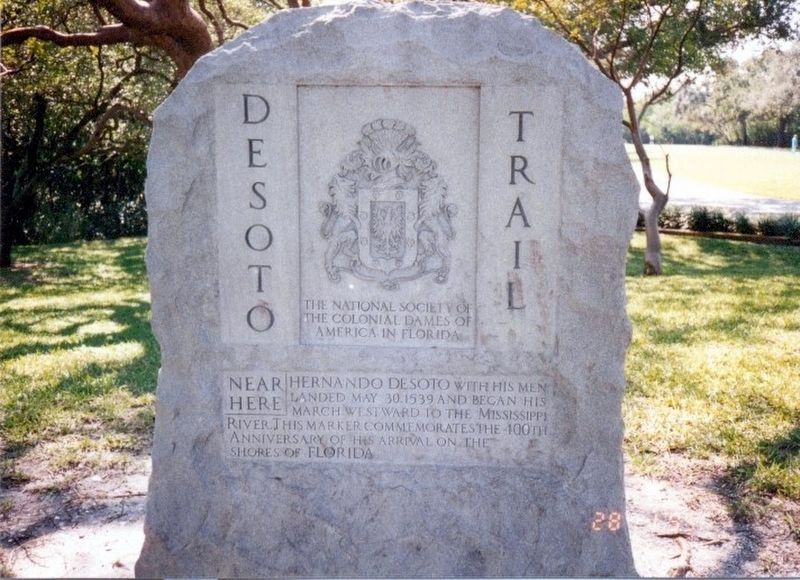
Photographed by Don Morfe, January 28, 1995
1. DeSoto Trail Marker
Erected by The National Society of the Colonial Dames of America in Florida.
Topics and series. This historical marker is listed in these topic lists: Colonial Era • Exploration. In addition, it is included in the The Colonial Dames of America, National Society of series list. A significant historical date for this entry is May 30, 1539.
Location. 27° 31.422′ N, 82° 38.664′ W. Marker is in Bradenton, Florida, in Manatee County. It is on DeSoto Memorial Highway. This marker is on the grounds of the De Soto National Memorial administered by the National Park Service. Touch for map. Marker is at or near this postal address: 8300 DeSoto Memorial Highway, Bradenton FL 34209, United States of America. Touch for directions.

Regionally, this marker is on the Gulf Coast and on Tampa Bay. It is also in the American South and on the Gulf Coast. Globally, it is in the North Atlantic Region, North America, a Gulf of Mexico state,
this page online
Other nearby markers. At least 8 other markers are within walking distance of this marker: De Soto National Memorial (a few steps from this marker); Marking the Trail (a few steps from this marker); La Florida's Early Peoples (a few steps from this marker); The Spanish Crown (a few steps from this marker); Hernando de Soto (a few steps from this marker); The Landing (within shouting distance of this marker); People of Place (within shouting distance of this marker); Knight of Santiago (within shouting distance of this marker). Touch for a list and map of all markers in Bradenton.
Another marker is no longer nearby. De Soto Trail Monument (was a few steps from this marker but has been permanently removed).
Related markers. Click here for a list of markers that are related to this marker. De Soto National Memorial
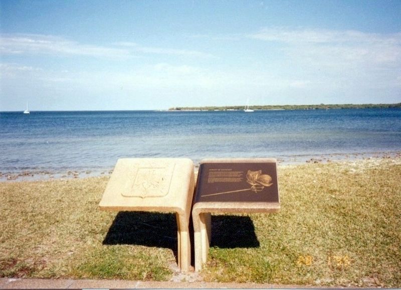
Photographed by Don Morfe, January 28, 1995
2. DeSoto marker facing the Manatee River
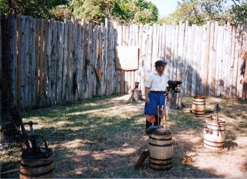
Photographed by Don Morfe, January 28, 1995
3. DeSoto National Memorial encampment area
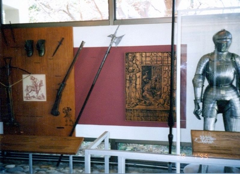
Photographed by Don Morfe, January 28, 1995
4. Inside the DeSoto National Memorial Visitor Center
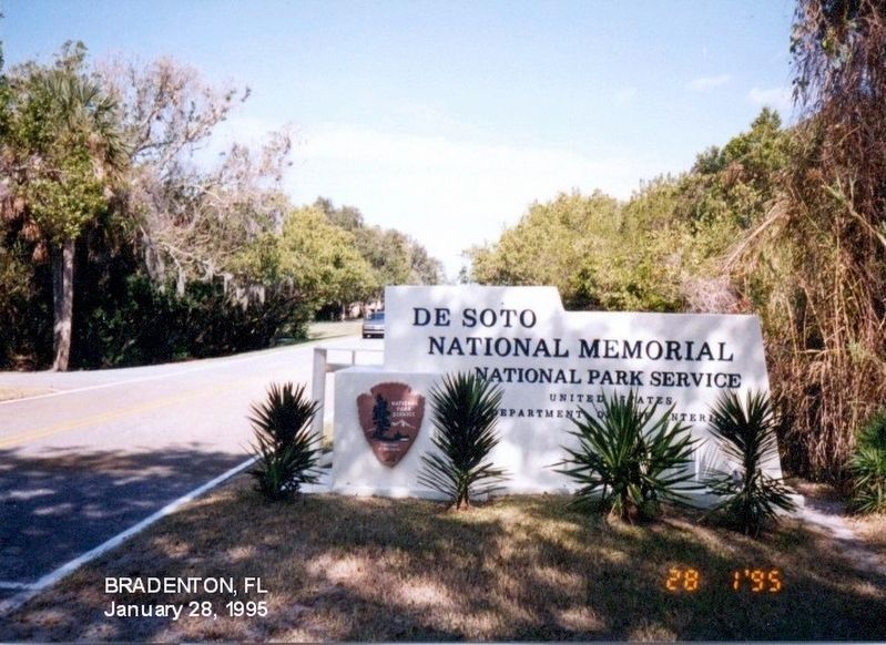
Photographed by Don Morfe, January 28, 1995
5. Sign at the entrance to the DeSoto National Memorial
Credits. This page was last revised on March 12, 2026. It was originally submitted on December 24, 2016, by Don Morfe of Baltimore, Maryland. This page has been viewed 1,277 times since then and 98 times this year. Last updated on October 23, 2018, by Cosmos Mariner of Cape Canaveral, Florida. Photos: 1, 2, 3, 4, 5. submitted on December 24, 2016, by Don Morfe of Baltimore, Maryland. • Bernard Fisher was the editor who published this page.
