Point Pleasant in Mason County, West Virginia — The American South (Appalachia)
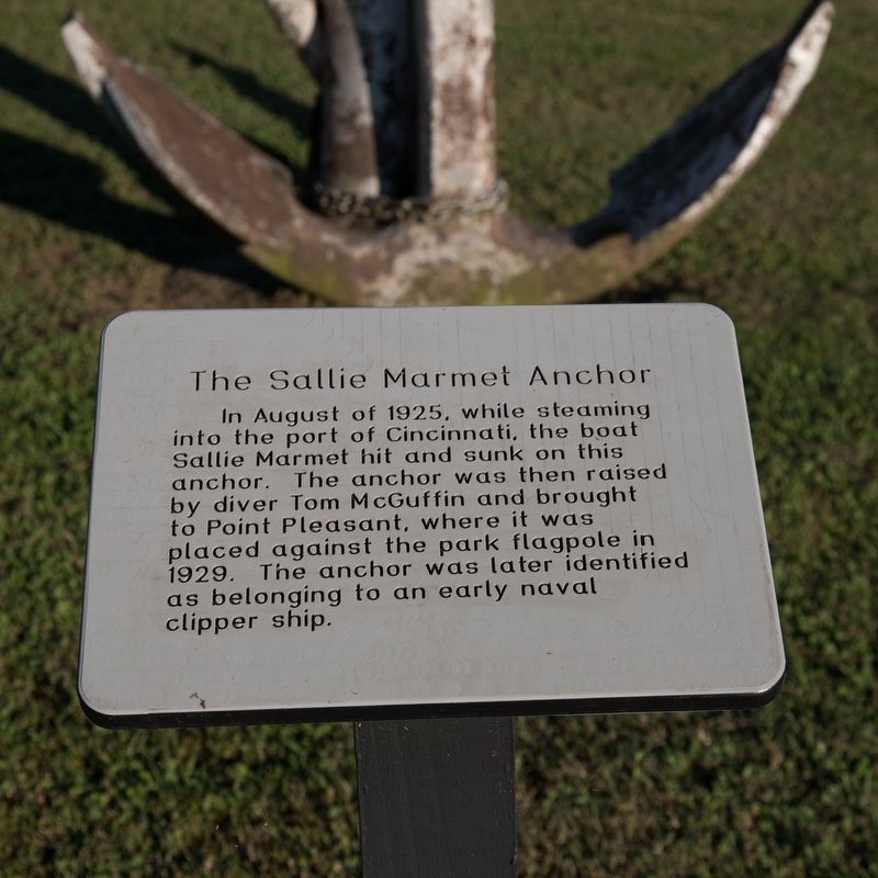
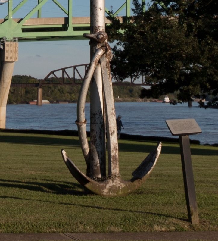
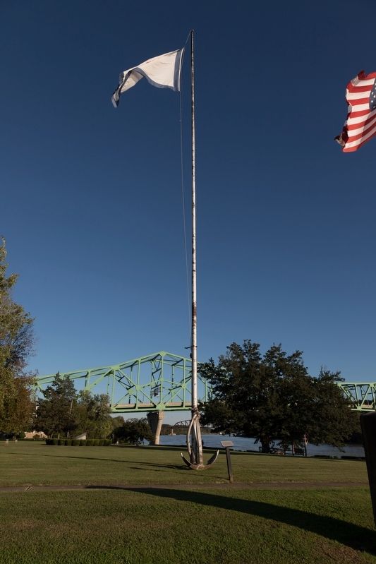
The Sallie Marmet Anchor
Topics. This historical marker is listed in this topic list: Waterways & Vessels. A significant historical month for this entry is August 1925.
Location. 38° 50.344′ N, 82° 8.479′ W. Marker is in Point Pleasant, West Virginia, in Mason County. Marker is on South Main Street south of 1st Street, on the right when traveling south. Touch for map. Marker is in this post office area: Point Pleasant WV 25550, United States of America. Touch for directions.
Other nearby markers. At least 8 other markers are within walking distance of this marker. Revolutionary Soldiers (here, next to this marker); The Mansion House (within shouting distance of this marker); Col. Charles Lewis (within shouting distance of this marker); The Magazine (within shouting distance of this marker); Colonel Andrew Lewis (within shouting distance of this marker); French Leaden Plate (within shouting distance of this marker); The Battle of Point Pleasant (within shouting distance of this marker); Liberty Tree (within shouting distance of this marker). Touch for a list and map of all markers in Point Pleasant.
Also see . . . Sallie Marmet (Sternwheel Towboat, 1911-1936). This page has a photo of the Sallie Marmet. Excerpt: “August, 1925, she sank above Lock 36, Ohio River. Divers found her punctured with a huge old-time anchor which was thought to have been lost from one of the ocean-going brigs built in the Marietta area prior to 1850.” (Submitted on October 25, 2018.)
Credits. This page was last revised on October 25, 2018. It was originally submitted on October 25, 2018, by J. J. Prats of Powell, Ohio. This page has been viewed 306 times since then and 21 times this year. Photos: 1, 2, 3. submitted on October 25, 2018, by J. J. Prats of Powell, Ohio.


