Milford in Oakland County, Michigan — The American Midwest (Great Lakes)
Oak Grove Cemetery
Photographed by Joel Seewald, October 20, 2018
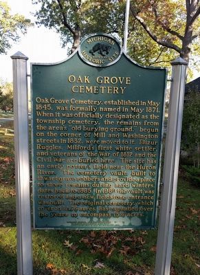
1. Oak Grove Cemetery Marker
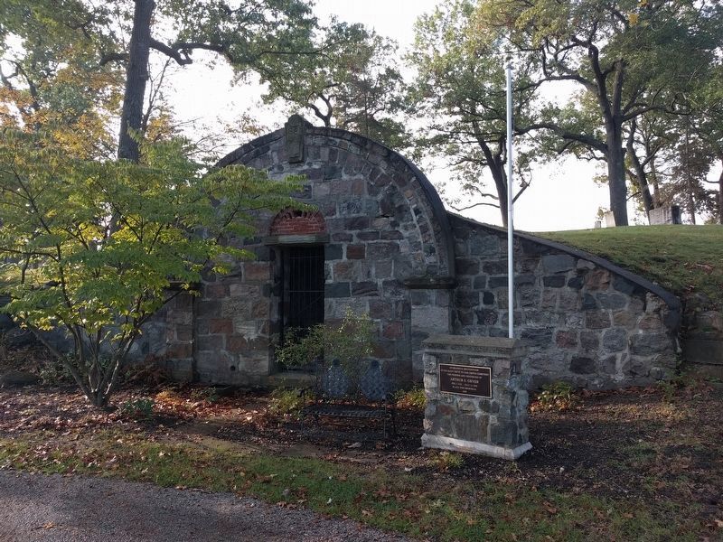
Oak Grove Cemetery, established in May 1845, was formally named in May 1871. When it was officially designated as the township cemetery, the remains from the area's "old burying ground," begun on the corner of Mill and Washington streets in 1832, were moved to it. Elizur Ruggles, Milford's first white settler, and veterans of the War of 1812 and the Civil War are buried here. The site has an early potter's field near the Huron River. The cemetery vault, built to thwart grave robbers and provide a place to store remains during hard winters, dates back to 1885. In 1980 the vault was restored and a new fieldstone entrance was built. The original cemetery, which covered 12.76 acres, has expanded over the years to encompass 15.6 acres.
Erected 1981 by Michigan History Division, Department of State. (Marker Number L743.)
Topics and series. This historical marker is listed in this topic list: Cemeteries & Burial Sites. In addition, it is included in the Michigan Historical Commission series list. A significant historical month for this entry is May 1845.
Location. 42° 34.915′ N, 83° 35.474′ W. Marker is in Milford, Michigan, in
this page online

Regionally, this marker is in Southeast Michigan and in Greater Detroit. It is also in the American Midwest. Globally, it is in North America, the Western Hemisphere, the Western World, and the Anglosphere. Historically, it finds itself in what was once the Northwest Territory.
Other nearby markers. At least 8 other markers are within walking distance of this marker: Civil War Memorial (here, next to this marker); Mont Eagle (about 300 feet away, measured in a direct line); Wells Brothers Foundry (approx. 0.6 miles away); Arthur's Park (approx. 0.6 miles away); Milford's Water Works Building (approx. 0.7 miles away); Milford Presbyterian Congregation (approx. 0.7 miles away); Mill Sites in Milford, Michigan Village and Township (approx. ¾ mile away); Pettibone Creek Hydroelectric Station (approx. ¾ mile away). Touch for a list and map
Photographed by Joel Seewald, October 20, 2018
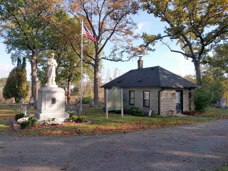
2. Oak Grove Cemetery Marker
Regarding Oak Grove Cemetery. The cemetery is owned by Milford Township, but is located within the Village of Milford.
Photographed by Joel Seewald, October 20, 2018
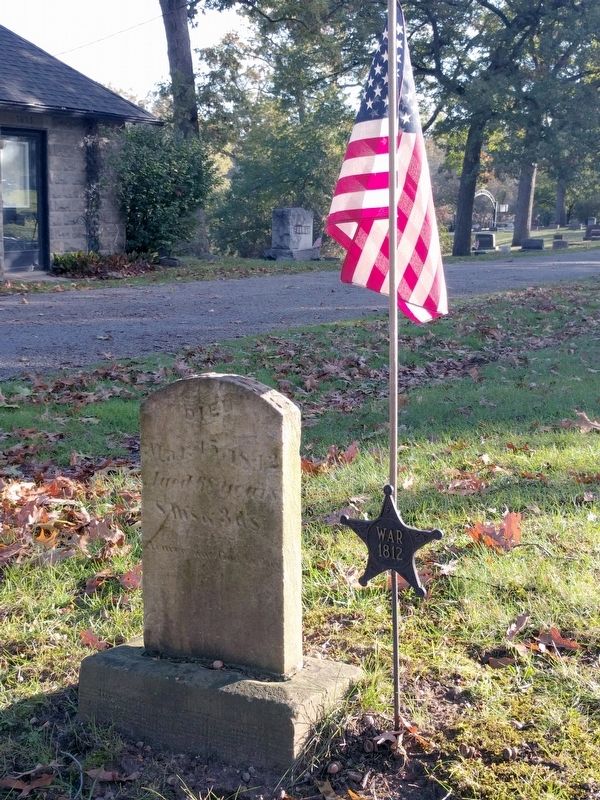
3. Oak Grove Cemetery - War of 1812 Headstone
Photographed by Joel Seewald, October 20, 2018
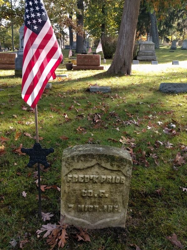
4. Oak Grove Cemetery - Civil War Headstone
Photographed by Joel Seewald, October 20, 2018
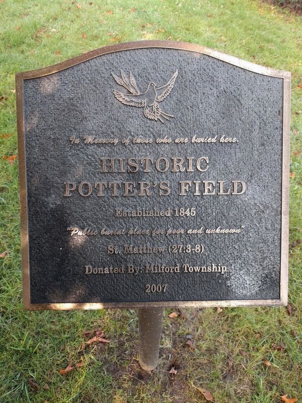
5. Oak Grove Cemetery - Potter's Field Marker
Historic Potter's Field
Established 1845
"Public burial place for poor and unknown"
St. Matthew (27:3-8)
Donated by: Milford Township
2007
Photographed by Joel Seewald, October 20, 2018
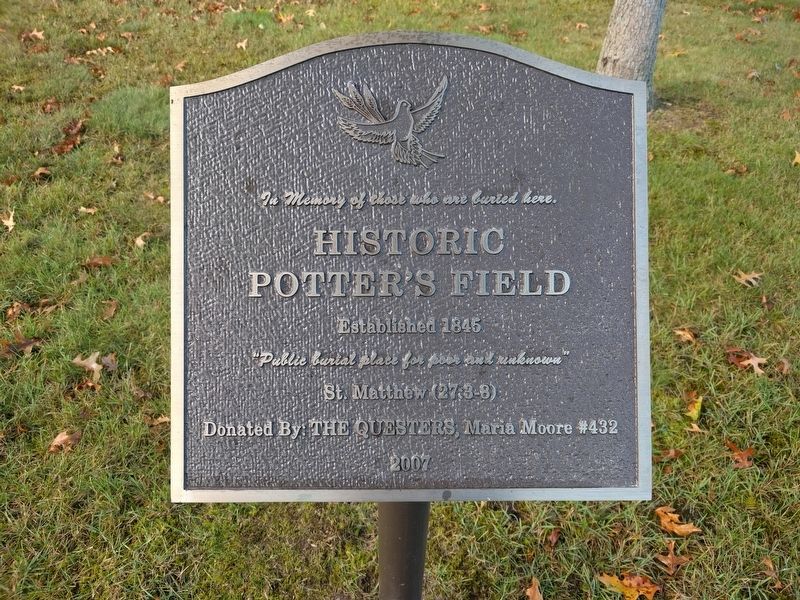
6. Oak Grove Cemetery - Potter's Field Marker
Historic Potter's Field
Established 1845
"Public burial place for poor and unknown"
St. Matthew (27:3-8)
Donated By: The Questers, Maria Moore #432
Photographed by Joel Seewald, October 20, 2018
7. Oak Grove Cemetery - Vault
Text on memorial marker:
In grateful recognition
of his many gifts to Oak Grove Cemetery
the friends and neighbors of
Arthur S. Geyer
Feb 3 1930 - July 14 1995
place this memorial
1999
of his many gifts to Oak Grove Cemetery
the friends and neighbors of
Arthur S. Geyer
Feb 3 1930 - July 14 1995
place this memorial
1999
Photographed by Joel Seewald, October 20, 2018
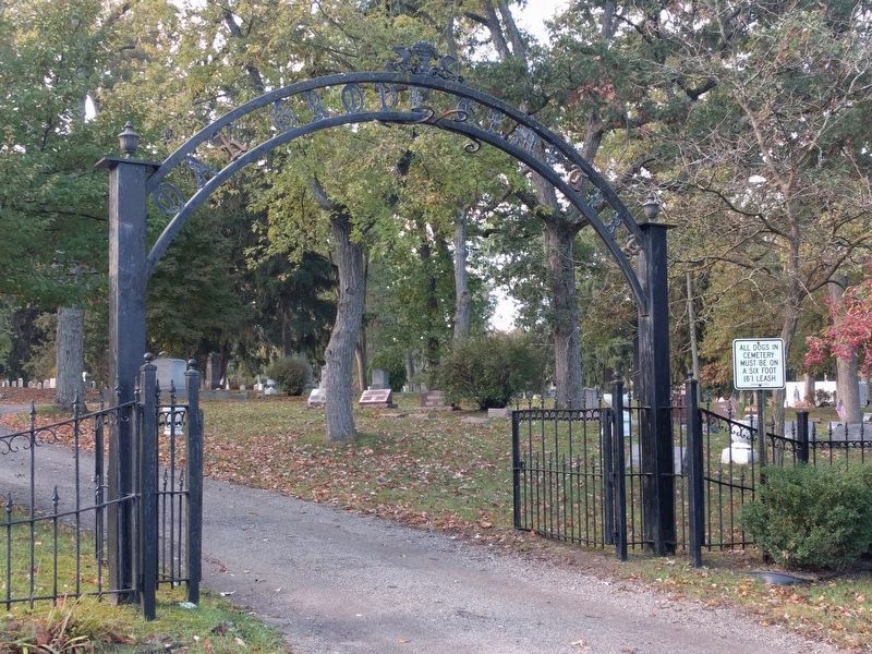
8. Oak Grove Cemetery - North Entrance Gate
This gate is on Mont Eagle Street. A similar gate is at the south entrance on Garden Road.
Credits. This page was last revised on February 12, 2023. It was originally submitted on October 26, 2018, by Joel Seewald of Madison Heights, Michigan. This page has been viewed 1,100 times since then and 108 times this year. Photos: 1, 2, 3, 4, 5, 6, 7, 8. submitted on October 26, 2018, by Joel Seewald of Madison Heights, Michigan.
