Near Antonito in Conejos County, Colorado — The American Mountains (Southwest)
Cumbres Pass
Photographed by Cosmos Mariner, June 12, 2013
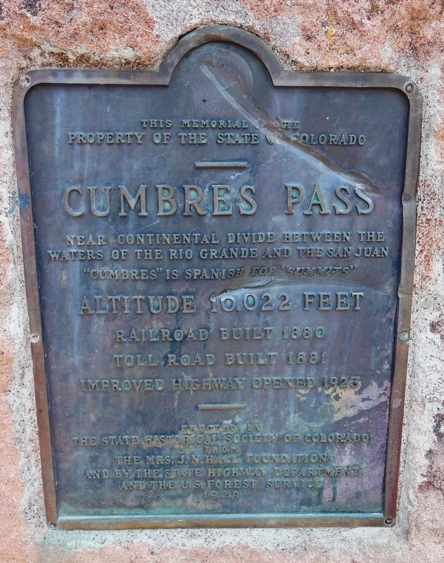
1. Cumbres Pass Marker
property of the State of Colorado
Cumbres Pass
Near Continental Divide between the
waters of the Rio Grande and the San Juan
”Cumbres” is Spanish for “Summits”
Altitude 10,022 Feet
Railroad built 1880
Tollroad built 1881
Improved highway opened 1923
Erected by
The State Historical Society of Colorado
from
the Mrs. J.N. Hall Foundation
and by the State Highway Department
and the U.S. Forest Service
1929
Erected 1929 by The State Historical Society of Colorado, State Highway Department, and the U.S. Forest Service.
Topics. This historical marker is listed in these topic lists: Notable Places • Railroads & Streetcars • Roads & Vehicles. A significant historical year for this entry is 1880.
Location. 37° 1.15′ N, 106° 26.919′ W. Marker is near Antonito, Colorado, in Conejos County. It is on State Highway 17 12 miles south of County Road 128, on the left when traveling north. Marker is located on the west side of the highway, at the north end of the Cumbres Pass Denver & Rio Grande Section House parking lot. Touch for map. Marker is in this post office area: Antonito CO 81120, United
this page online

Regionally, this marker is in the San Juan Mountains and in the San Luis Valley. It is also in the American Mountain West. Globally, it is in North America, the Rocky Mountains, the Western Hemisphere, the Western World, and the Anglosphere. Historically, it finds itself in what was once New Spain and also the Republic of Texas.
Other nearby markers. At least 8 other markers are within 3 miles of this marker, measured as the crow flies: The Historic Operations at Cumbres Pass (within shouting distance of this marker); Los Caminos Antiguos (approx. 1.6 miles away); Welcome “Caminante” to… (approx. 1.6 miles away); The Great Race to Build a Railroad (approx. 1.6 miles away); The Secret Died With Him (approx. 1.6 miles away); This is Our land (approx. 2.7 miles away); Who Owns This Land? (approx. 2.7 miles away); Welcome to El Valle de San Luis (approx. 2.7 miles away). Touch for a list and map of all markers in Antonito.
Related markers. Click here for a list of markers that are related to this marker. Denver & Rio Grande Railroad San Juan Extension
Also see . . . Cumbres Pass (Wikipedia).
Photographed by Cosmos Mariner, June 12, 2013
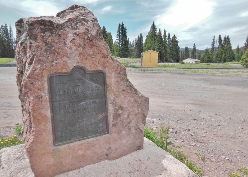
2. Cumbres Pass Marker (wide view; Colorado Highway 17 in background)
Excerpt: The railroad line was built in the early 1880s by the Denver & Rio Grande Railroad as part of their San Juan Extension line from Alamosa, Colorado to Durango, Colorado. The railroad has a steep (for a railroad) 4% grade approaching from the west, so additional helper locomotives were usually run (and often still are) on trains from Chama to Cumbres Pass. The facilities at the pass were built by the railroad to support the turning of the helper locomotives for their return to Chama, and provide water to locomotives after the climb. Some of the structures at the pass, including the station building, were demolished when the highway was realigned. Regular passenger service was provided by the San Juan Express, running from Alamosa to Durango, and was discontinued in 1951, although numerous rail-fan specials operated over the line until the Fall of 1967. Freight service on the line ended in 1968 and since 1970 the railroad from Chama to Antonito has been owned and operated by the Cumbres and Toltec Scenic Railroad which operates trains over the pass during the tourist season.(Submitted on October 28, 2018, by Cosmos Mariner of Cape Canaveral, Florida.)
Photographed by Cosmos Mariner, June 12, 2013
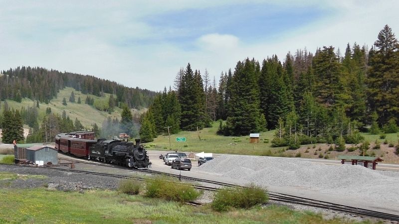
3. Cumbres Pass Marker (wide view of marker at north end of parking lot as train arrives)
Photographed by Cosmos Mariner, June 12, 2013
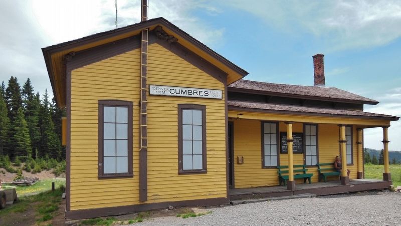
4. D&RG Section House at Cumbres Pass
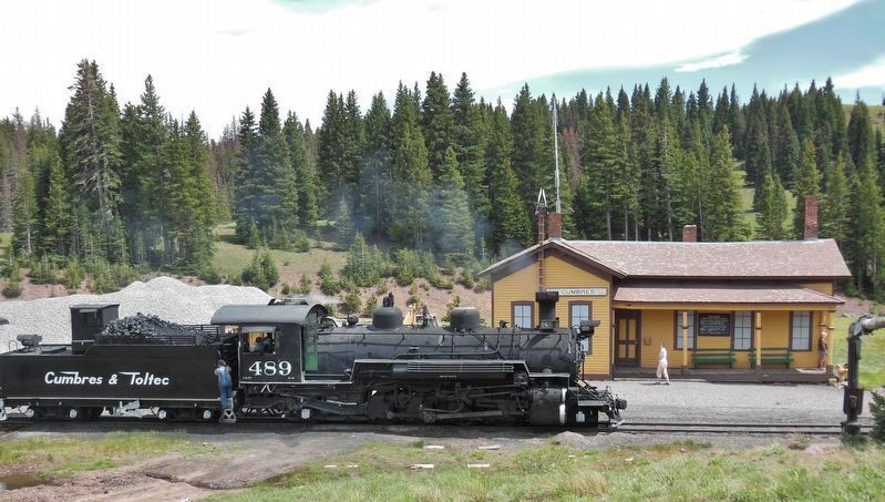
Photographed by Cosmos Mariner, June 12, 2013
5. Train Arriving Cumbres Pass
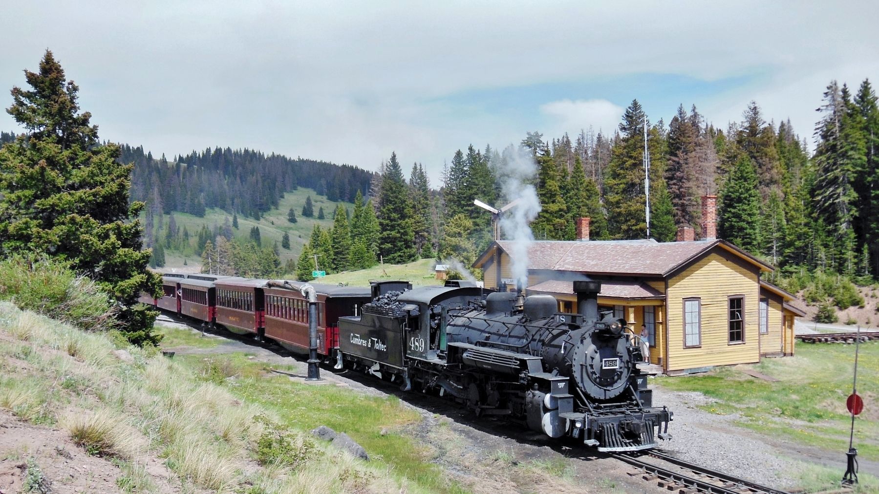
Photographed by Cosmos Mariner, June 12, 2013
6. Train Departing Cumbres Pass
Credits. This page was last revised on August 7, 2025. It was originally submitted on October 26, 2018, by Cosmos Mariner of Cape Canaveral, Florida. This page has been viewed 1,294 times since then and 55 times this year. Photos: 1, 2, 3, 4, 5, 6. submitted on October 28, 2018, by Cosmos Mariner of Cape Canaveral, Florida. • Andrew Ruppenstein was the editor who published this page.
