East Bloomfield in Ontario County, New York — The American Northeast (Mid-Atlantic)
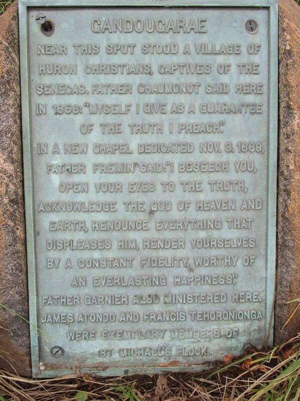
Gandougarae
Photographed by Anton Schwarzmueller, October 26, 2018
1. Gandougarae Marker
In a new chapel, dedicated Nov. 3, 1669, Father Fremin said, "I beseech you, open your eyes to the truth, acknowledge the God of heaven and Earth, renounce everything that displeases him, render yourselves by a constant fidelity, worthy of an everlasting happiness."
Father Garnier also ministered here. James Atondo and Francis Tehoronionga were exemplary members of St. Michael's flock.
Topics. This historical marker is listed in these topic lists: Indigenous Peoples and Communities • Religion & Religious Structures. A significant historical date for this entry is October 3, 1669.
Location. 42° 54.767′ N, 77° 22.528′ W. Marker is in East Bloomfield, New York, in Ontario County. It is on North Bloomfield Road (County Route 30) 0.1 miles east of Wheeler Station Road, on the left when traveling east. Marker is east of the Shaeffer Creek bridge. Touch for map. Marker is at or near this postal address: 6370 North Bloomfield Road, Bloomfield NY 14469, United States of America.
this page online

Regionally, this marker is in Upstate New York, specifically in Western New York, in the Finger Lakes, and in the Rochester Metropolitan Area. It is also in the American Northeast and in the Mid-Atlantic. Globally, it is in North America, the Western Hemisphere, the Western World, and the Anglosphere. Historically, it finds itself in what was once the Haudenosaunee (Iroquois) Confederacy, New Netherland, and one of the original Thirteen Colonies.
Other nearby markers. At least 8 other markers are within 4 miles of this marker, measured as the crow flies: 1656 Chapel of St. Michael 1656 (here, next to this marker); Town of Bloomfield (approx. 0.2 miles away); a different marker also named Gandougarae (approx. 2.1 miles away); St. Bridget’s Church (approx. 3 miles away); First Town Hall (approx. 3.1 miles away); The Old Town Hall (approx. 3.1 miles away); 14 State Street (approx. 3.2 miles away); National Register of Historic Places (approx. 3.2 miles away). Touch for a list and map of all markers in East Bloomfield.
Photographed by Anton Schwarzmueller, October 26, 2018
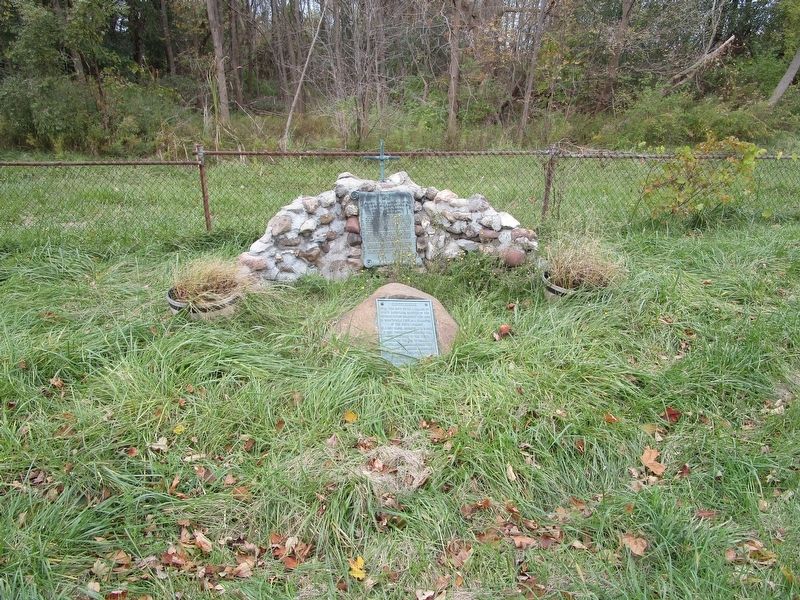
2. Gandougarae Marker
On the single stone.
Photographed by Anton Schwarzmueller, October 26, 2018
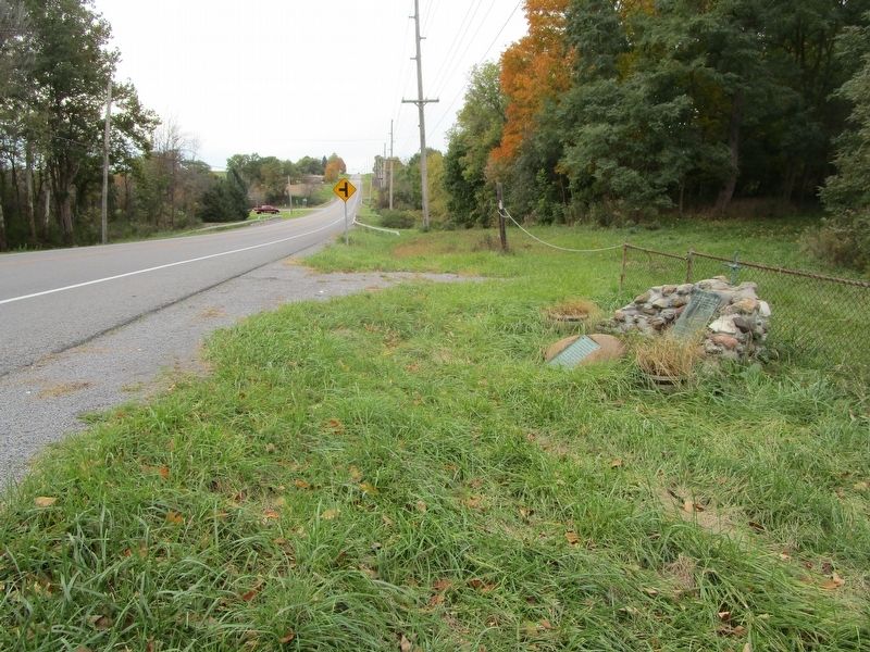
3. Gandougarae Marker
Westward
Credits. This page was last revised on December 10, 2018. It was originally submitted on October 27, 2018, by Anton Schwarzmueller of Wilson, New York. This page has been viewed 738 times since then and 70 times this year. Photos: 1, 2, 3. submitted on October 27, 2018, by Anton Schwarzmueller of Wilson, New York.
