East Bloomfield in Ontario County, New York — The American Northeast (Mid-Atlantic)
Gandougarae
Photographed by Anton Schwarzmueller, October 26, 2018
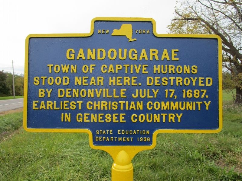
1. Gandougarae Marker
Town of captive Hurons
stood near here. Destroyed
by Denonville July 17, 1687.
Earliest Christian community
in Genesee country.
Erected 1936 by New York State Department of Education.
Topics. This historical marker is listed in this topic list: Indigenous Peoples and Communities. A significant historical date for this entry is July 17, 1687.
Location. 42° 52.993′ N, 77° 22.821′ W. Marker is in East Bloomfield, New York, in Ontario County. It is at the intersection of New York State Route 5 and Wheeler Station Road, on the right when traveling west on New York State Route 5. NY route 5 and US route 20 are multiplexed here. Touch for map. Marker is in this post office area: Bloomfield NY 14469, United States of America. Touch for directions.

Regionally, this marker is in Upstate New York, specifically in Western New York, in the Finger Lakes, and in the Rochester Metropolitan Area. It is also in the American Northeast and in the Mid-Atlantic. Globally, it is in North America, the Western Hemisphere, the Western World, and the Anglosphere. Historically, it finds itself in what was once the Haudenosaunee
this page online
Other nearby markers. At least 8 other markers are within 3 miles of this marker, measured as the crow flies: A different marker also named Gandougarae (approx. 2.1 miles away); 1656 Chapel of St. Michael 1656 (approx. 2.1 miles away); Town of Bloomfield (approx. 2.1 miles away); Patriot Burials (approx. 2.3 miles away); 14 State Street (approx. 2.8 miles away); National Register of Historic Places (approx. 2.8 miles away); The Abram Pierce House (approx. 2.8 miles away); First Town Hall (approx. 2.8 miles away). Touch for a list and map of all markers in East Bloomfield.
Photographed by Anton Schwarzmueller, October 26, 2018
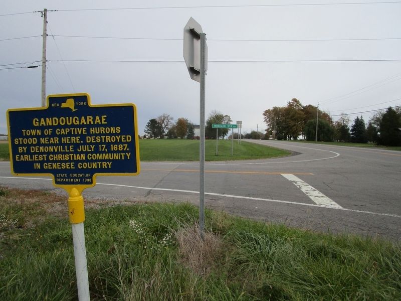
2. Gandougarae Marker
Eastward
Photographed by Anton Schwarzmueller, October 26, 2018
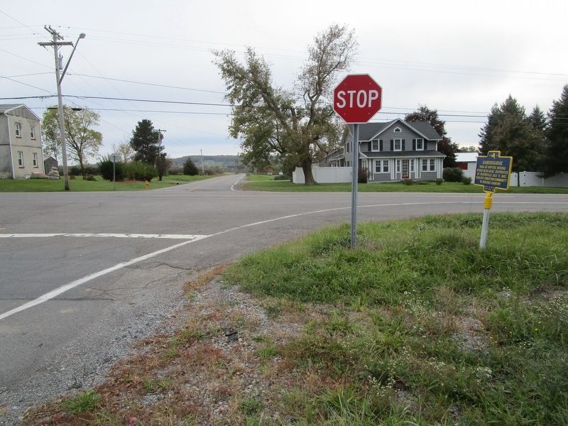
3. Gandougarae Marker
Southward
Credits. This page was last revised on October 27, 2018. It was originally submitted on October 27, 2018, by Anton Schwarzmueller of Wilson, New York. This page has been viewed 807 times since then and 48 times this year. Photos: 1, 2, 3. submitted on October 27, 2018, by Anton Schwarzmueller of Wilson, New York.
