Victor in Ontario County, New York — The American Northeast (Mid-Atlantic)
Totiakton
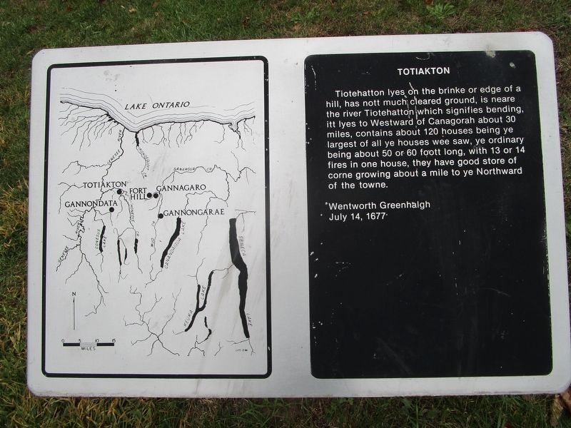
Tiotehatton lyes on the brinke or edge of a hill, has nott much cleared ground, is neare the river Tiotehatton which signifies bending, itt lyes to Westward of Ganagorah about 30 miles, contains about 120 houses being ye largest of all ye houses wee saw, ye ordinary being about 50 or 60 foott long, with 13 or 14 fires in ine house, they have good store of corne growing about a mile to ye Northward of the towne.
Wentworth Greenhalgh
July 14, 1677
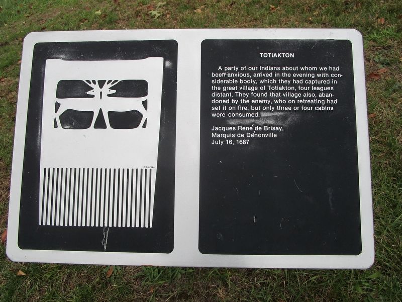
A party of our Indians about whom we had been anxious, arrived in the evening with considerable booty, which they had captured in the great village of Totiakton, four leagues distant. They found that village also, abandoned by the enemy, who on retreating had set it on fire, but only three or four cabins were consumed.
Jacques Rene de Brisay,
Marquis de Denonville
July 16, 1687
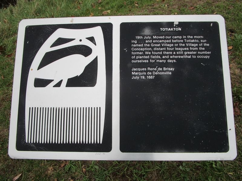
19th July. Moved our camp in the morning...and encamped before Totiakto, surnamed the Great Village or the Village of the Conception, distant four leagues from the former. We found there a still greater number of planted fields, and wherewithal to occupy ourselves for many days.
Jacques Rene de Brisay,
Marquis de Denonville
July 19, 1687
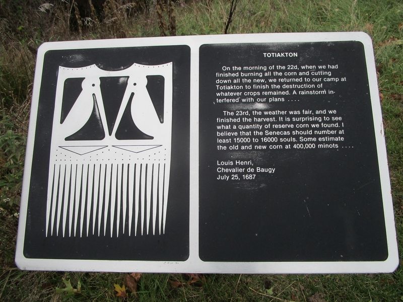
On the morning of the 22nd, when we had finished burning all the corn and cutting down all the new, we returned to our camp at Totiakton to finish the destruction of whatever crops remained. A rainstorm interfered with our plans....
The 23rd, the weather was fair, and we finished the harvest. It is surprising to see what a quantity of reserve corn we found. I believe that the Senecas should number at least 15000 to 16000 souls. Some estimate the old and new corn at 400,000 minots.....
Louis Henri,
Chevalier de Baugy
July 25, 1687
Topics. This historical marker is listed in this topic list: Native Americans. A significant historical date for this entry is July 14, 1677.
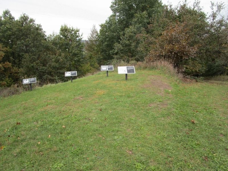
Location. 42° 57.841′ N, 77° 26.123′ W. Marker is in Victor, New York, in Ontario County. Marker can be reached from the intersection of Boughton Hill Road (County Route 41) and Murray Lane. This series of four markers, and others, are on Fort Hill, of the Ganondagan New York State Historic Site. From the parking lot at the intersection, hike the service road to the west side of the hill and up. Touch for map. Marker is in this post office area: Victor NY 14564, United States of America. Touch for directions.
Other nearby markers. At least 8 other markers are within walking distance of this marker. Gannondata (within shouting distance of this marker); The War on Corn (within shouting distance of this marker); Nundawahonoga (about 300 feet away, measured in a direct line); Gahayanduk (about 500 feet away); Gannongarae (about 600 feet away); Onondowahgah (about 600 feet away); Gannagaro (about 600 feet away); Gahayanduk Fort Hill (approx. 0.2 miles away). Touch for a list and map of all markers in Victor.
Also see . . . Ganondagan State Historic Site. New York State Office of Parks, Recreation & Historic Preservation website entry (Submitted on October 28, 2018, by Anton Schwarzmueller of Wilson, New York.)
Credits. This page was last revised on July 8, 2023. It was originally submitted on October 28, 2018, by Anton Schwarzmueller of Wilson, New York. This page has been viewed 248 times since then and 48 times this year. Photos: 1, 2, 3, 4, 5, 6. submitted on October 28, 2018, by Anton Schwarzmueller of Wilson, New York.
