Apple Grove in Mason County, West Virginia — The American South (Appalachia)
Mercer’s Bottom
⎯⎯⎯
Captain John Hereford
Photographed by J. J. Prats, September 29, 2018
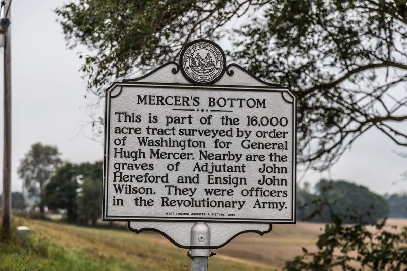
1. Mercer’s Bottom side of marker
Mercer’s Bottom. This is part of the 16,000 acre tract surveyed by order of Washington for General Hugh Mercer. Nearby are the graves of Adjutant John Hereford and Ensign John Wilson. They were officers in the Revolutionary Army.
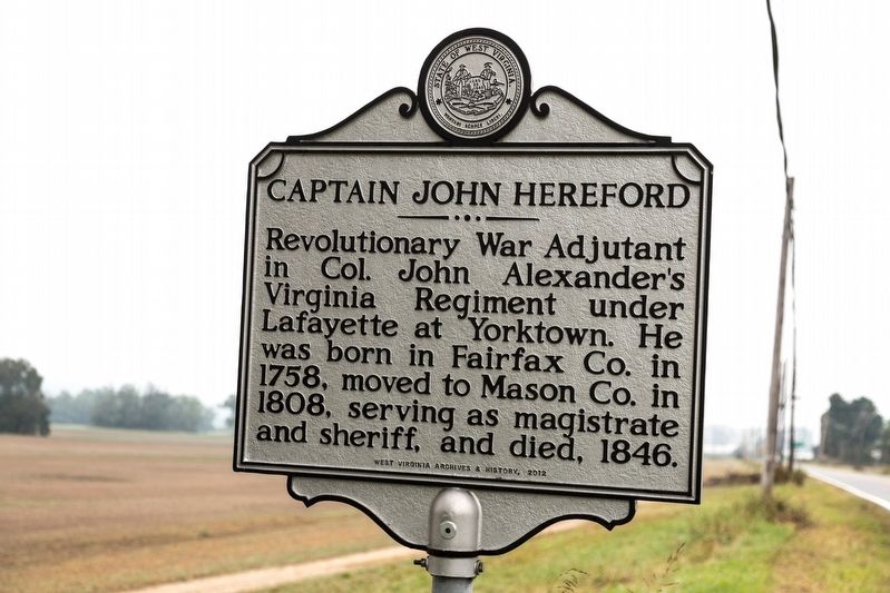
Captain John Hereford. Revolutionary War Adjutant in Col. John Alexander’s Virginia Regiment under Lafayette at Yorktown. He was born in Fairfax Co. in 1758, moved to Mason Co. in 1808, serving as magistrate and sheriff, and died, 1846.
Erected 2012 by West Virginia Archives and History.
Topics and series. This historical marker is listed in these topic lists: Cemeteries & Burial Sites • War, US Revolutionary. In addition, it is included in the West Virginia Archives and History series list. A significant historical year for this entry is 1758.
Location. 38° 39.12′ N, 82° 9.865′ W. Marker is in Apple Grove, West Virginia, in Mason County. It is on Huntington Road (West Virginia Route 2) south of Hereford Lane. Touch for map. Marker is in this post office area: Apple Grove WV 25502, United States of America. Touch for directions.

Regionally, this marker is in West Virginia’s
this page online
Other nearby markers. At least 8 other markers are within 11 miles of this marker, measured as the crow flies: Teens Run Bridge (approx. 2.8 miles away in Ohio); Here Lies James Jeffers (approx. 3.8 miles away in Ohio); Thomas Hannan (approx. 5.1 miles away); May Moore Mound (approx. 6.1 miles away); Clover Archeological Site (approx. 6.4 miles away); Albert Gallatin Jenkins (approx. 6.4 miles away); General Jenkins (approx. 6.4 miles away); Indian Village / Excavations (approx. 10.2 miles away).
Photographed by J. J. Prats, September 29, 2018
2. Captain John Hereford side of Marker
Photographed by J. J. Prats, September 29, 2018
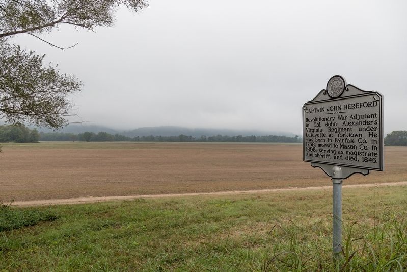
3. Mercer’s Bottom / Captain John Hereford Marker
Credits. This page was last revised on October 28, 2018. It was originally submitted on October 28, 2018, by J. J. Prats of Powell, Ohio. This page has been viewed 1,714 times since then and 172 times this year. Photos: 1, 2, 3. submitted on October 28, 2018, by J. J. Prats of Powell, Ohio.
